Elevation: 6,203 ft
Prominence: 93
This peak is not in the book. This peak is located on private property. Please obtain permission before visiting the summit. Published November 2020
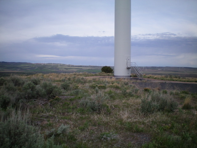
Red Butte is another scrub hump with a fully-operational windmill atop it. It is located along Kepps Crossing Road and is on private land. However, I encountered no fencing, signage, or orange paint prohibiting entry. I suspect that the utility company that operates these windmills isn’t too concerned about the occasional summit-obsessed hiker who shows up and spends ten minutes on a round-trip hike of the peak. USGS Lone Pine Ridge
The summit area atop Red Butte. Livingston Douglas Photo
Access
See access for Big Horse Butte. Park along Kepps Crossing Road exactly 1.9 miles west of the parking spot for Big Horse Butte or 4.3 miles up Kepps Crossing Road from its merge point with Eagle Pass Road.
Southwest Face, Class 2
The Route
From Kepps Crossing Road (6,065 feet), scramble up across easy open field grass then sagebrush to reach the windmill-clad summit of Red Butte. This arduous journey requires only 0.4 miles and 135 feet of elevation gain round trip. Should not take more than ten minutes round trip.
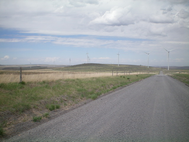
Red Butte as viewed from the southeast along Kepps Crossing Road. Livingston Douglas Photo
Additional Resources
Regions: Caribou Range->SOUTHERN IDAHO
Mountain Range: Caribou Range
Longitude: -111.74049 Latitude: 43.40269