Elevation: 6,113 ft
Prominence: 289
This butte is not in the book. Elevation and prominence figures are updated based on recent LiDAR measurements. Livingston Douglas significantly revised this page. Updated October 2025
Salmon Butte is a handsome butte that sits above the headwaters of Farrot Creek in the Owyhee Mountains. It is most easily climbed from Wilson Creek Road to its east. This route avoids the private land issues to the west and to the north of the butte. The westernmost of two Idaho peaks named Salmon Butte, this peak sits west of the townsite of Reynolds, Idaho. USGS Soldier Cap
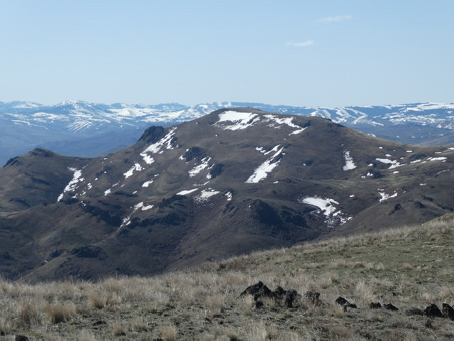
Salmon Butte as viewed from the northwest
Access
See the Wilson Creek Access page. Drive 10.3 miles up Wilson Creek Road (signed as “Wilson Road” at ID-78) to a saddle on Horse Race Ridge. Continue south on Wilson Creek Road for another 1.7 miles and park along the road [4,405 feet; 43°16’18.1”N, 116°47’53.1”W]. Do not drive this far up Wilson Creek Road in wet conditions. It is a muddy, rutted mess and would be impossible to navigate. Alternatively, drive farther south on Wilson Creek Road and park at the mouth of Farrot Creek. This is an easier route (thanks to cattle trails along Farrot Creek) but starts about 100 feet lower in elevation.
East Ridge, Class 2
The Climb
From Wilson Creek Road, contour south-southwest then west in angled field grass (not difficult) to reach the Farrot Creek drainage. Descend to Farrot Creek (a small stream) and follow cattle trails near the creek as you head westward upstream. The creek forks at the toe of the east ridge of Salmon Butte. Scramble up the rounded, grassy ridge as it narrows and reaches rocky Point 5189, which looks more intimidating from below than it actually is. There is some scree scrambling required (mixed with scrub and grass) and the ridge is much steeper here than early on.
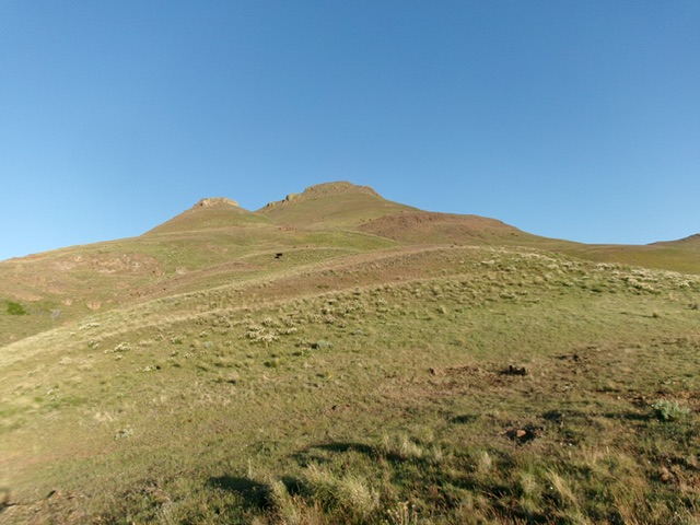
Looking up the east ridge of Salmon Butte from its base. Rocky Point 5189 is left of center and must be climbed. This was my ascent route. Livingston Douglas Photo
From Point 5189, descend 40 vertical feet to the right/northwest to a minor saddle. This rightward bend is much more pronounced than the USGS topo map indicates. From the saddle, scramble northwest then west up steep-ish, clumpy field grass to reach the rocky east summit (Point 5720+). Descend west for 75 vertical feet to another saddle then tackle the cliffs that guard the elusive summit. Find a rocky chute (mostly loose scree) on the left/south side of the initial cliff band/tower and climb it to get past this first obstruction.
Head west on the rock-and-grass ridge crest from here to the rocky, finishing scramble and the open, gentle summit. A wild horse greeted me as I approached the summit. I built up the summit cairn considerably. It seems to be on the high point but I stood on a few other nearby boulders just to be sure that I caught the high point of Salmon Butte. The summit offers a nice view of Peak 6228 (on private land), which is about a mile to the west.
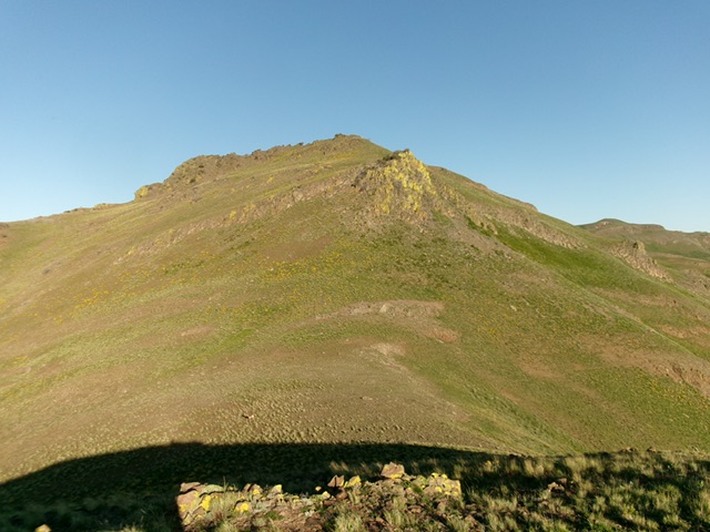
The summit of Salmon Butte finally comes into view. This shot is taken from the [lower] east summit. Livingston Douglas Photo
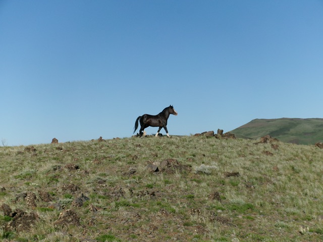
A wild horse greets me as I reach the summit. Livingston Douglas Photo
Additional Resources
Regions: Owyhee Mountains->SOUTHERN IDAHO
Mountain Range: Owyhee Mountains
Longitude: -116.83369 Latitude: 43.26889