Elevation: 6,266 ft
Prominence: 446
This peak is not in the book. Published January 2023
Sam Benchmark is the high point of a long north-south ridge that sits on the east side of Big Hollow in the Samaria Hills. It is most easily reached from Malad Pass Road to its west. This area is a mix of private and public land, so be careful. This hike is entirely on BLM land. USGS Grover Canyon
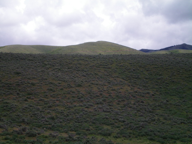
Sam Benchmark (dead center) as viewed from the northwest. Livingston Douglas Photo
Access
From Exit 13 (Malad City) on I-15, drive west on ID-38 to the 7-mile marker and a left/south turn onto 5400W (signed for “Pocatello Valley”). This is Malad Pass Road, which eventually drops into Pocatello Valley and becomes Pocatello Valley Road. Go south on Malad Pass Road for 5.8 miles to a cattle guard with “No Trespassing” signs on either side of it. Park here in a pullout just before crossing the cattle guard (5,235 feet). GPS coordinates: 42⁰06’47”N, 112⁰25’13”W.
West Face/North Ridge, Class 2
The Climb
From the cattle guard, leave Malad Pass Road and scramble diagonally left/southeast up the west face of Sam Benchmark to reach the north ridge. Be sure to stay left/east of the cattle fence along Malad Pass Road that separates BLM land from private, posted ranch land. The sagebrush bushwhack up to the ridge crest isn’t too bad. Aim to reach the ridge crest at a saddle just southwest of Point 6066.
Once on the ridge, follow the ridge crest south with some ups and downs (85 feet, 45 feet, 20 feet) and a few wiggles to reach the elusive summit hump. The summit of Sam Benchmark has two USGS benchmarks, each encased in a round block of poured concrete. Triangulation posts lay on the ground with a torn-down triangulation cairn nearby. The ridge terrain is much easier than the thicker sagebrush on the west face.
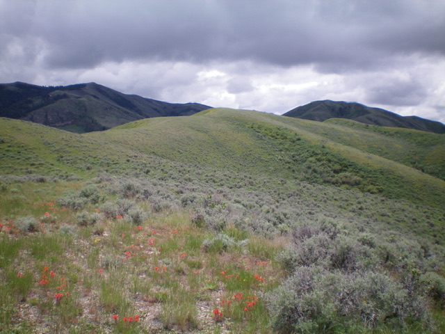
The final push to the sagebrush summit of Sam Benchmark (dead center). Livingston Douglas Photo
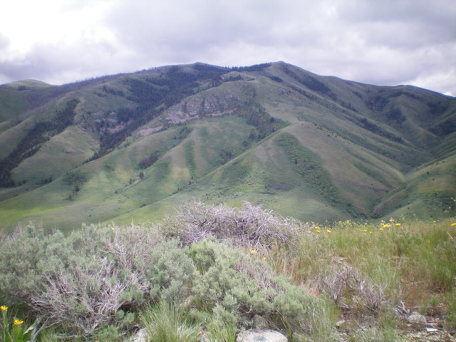
View of the highest Samaria Hills from the summit of Sam Benchmark. Wood Benchmark is the peak to the left and Peak 7695 is the peak to the right. Notice the USGS benchmark at the bottom of the photo. Livingston Douglas Photo
Additional Resources
Regions: Bannock Range->Samaria Mountains->SOUTHERN IDAHO
Mountain Range: Bannock Range
Longitude: -112.4134 Latitude: 42.0913