Elevation: 9,900 ft
Prominence: 880
Climbing, access, and historical information for this peak is on Page 333 of the book. Published November 2020
A road leads to a FAA radar dome on the summit of this impressive and prominent peak. Livingston Douglas points out that “the high point of Sawtell Peak is not in the parking area or at the communication towers. It’s farther to the north along a rocky ridge, well away from the crowds and the towers. You can’t drive to the top of this peak, though you certainly can get pretty close.” USGS Sawtell Peak
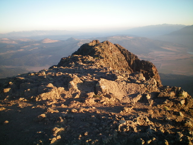
The summit area of Sawtell Peak, looking north along the rugged, narrow north ridge. Livingston Douglas Photo
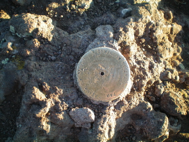
The survey market atop the summit of Sawtell Peak. Livingston Douglas Photo
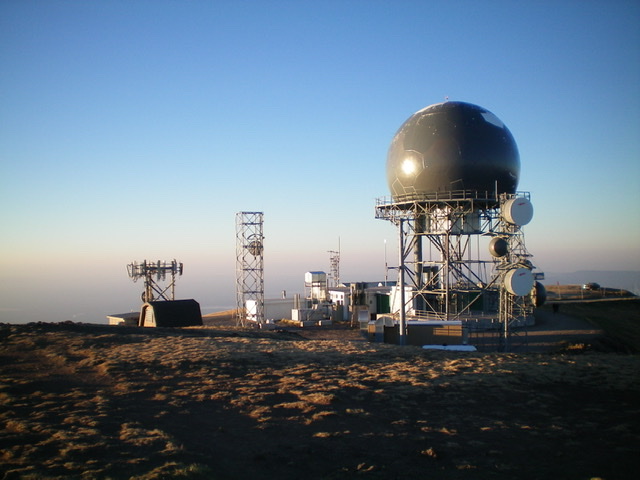
Looking south at the communication towers from the summit of Sawtell Peak. Livingston Douglas Photo
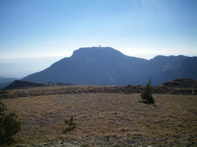
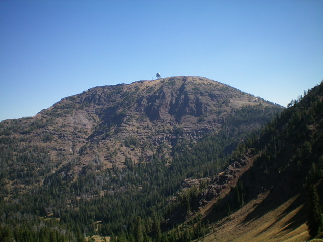
Sawtell Peak as viewed from Peak 9584 to its northwest. Livingston Douglas Photo
The steep, rugged west face of Sawtell Peak. Livingston Douglas Photo
Additional Resources
Regions: Centennial Range->EASTERN IDAHO
Mountain Range: Centennial Range
Year Climbed: 1981
First Ascent Information:
- First Ascent Year: 1878
- Season: Summer
- Route: Unknown.
- Party: A.D. Wilson topographic expedition.
Longitude: -111.44509 Latitude: 44.56169