Elevation: 5,163 ft
Prominence: 228
This peak is not in the book. There is no public access. Published November 2021
Shattuck Butte is located east of Bonny Benchmark and west of I-15/Exit 128 (Osgood Area), about 9 miles north of Idaho Falls. This peak is located on private land, so obtain permission from the landowner before undertaking this hike. The butte is on the north side of West 113th North Road above some rock quarries. USGS Shattuck Butte
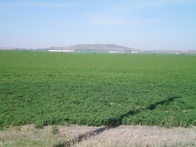
Shattuck Butte (right of center) and Bonny Benchmark (small hump well left of center) as viewed from near Exit 128 on I-15. Livingston Douglas Photo
Access
From Exit 128 (Osgood Area) on I-15 north of Idaho Falls, drive west then south on [signed] North 26th West Road for 1.9 miles to a signed junction with West 113th North Road. Turn right/west onto West 113th North Road and drive 3.2 miles to an unsigned junction with a dirt road just past (west of) a quarry road that has a “No Trespassing” sign on it.
South Face, Class 2
The Climb
Hike north up the 2-track road briefly until it turns sharply left/west. Leave the road and follow another old 2-track road straight/north up the hillside. Leave this 2-track road at a flattish area and follow a weaker 2-track right/east to reach the highest of a line of telephone poles. The 2-track turns left/north here and heads up to the crater rim at a saddle at the south end of the crater. From the saddle (which separates Point 5145 from Shattuck Butte), scramble northeast then north along the crater rim to reach a stiff, high cattle fence. Cross the fence to reach a service road that leads to the summit. The summit has two cell towers and a USGS benchmark. The terrain on the crater rim is moderate sagebrush and goes quickly.
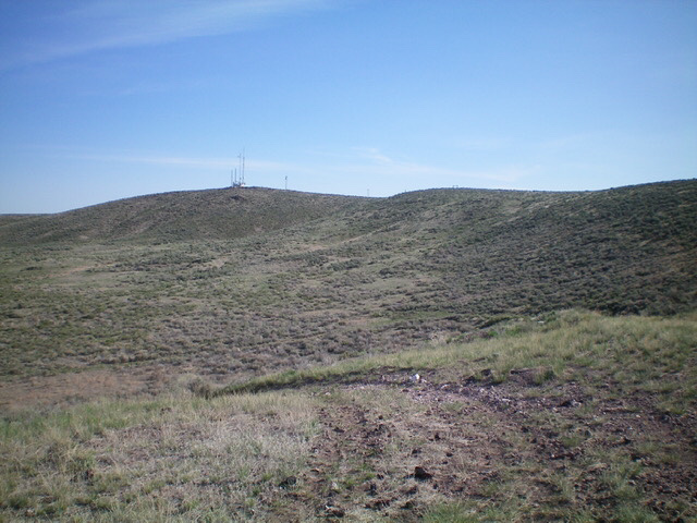
The antenna-clad summit of Shattuck Butte as viewed from the crater rim to its south. The south ridge is the right skyline. Livingston Douglas Photo
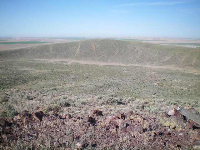
Looking southwest across the crater from the summit. Livingston Douglas Photo
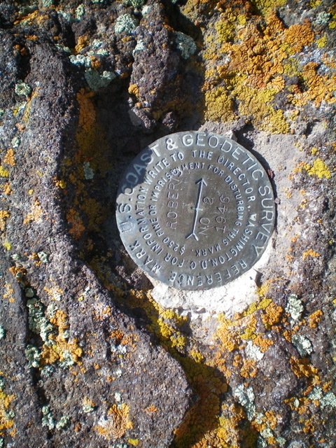
The USGS benchmark atop Shattuck Butte. Livingston Douglas Photo
Additional Resources