Elevation: 5,913 ft
Prominence: 183

This peak is not in the book. Published November 2022
Signal Butte is located on the northwest side of the Rogerson-Jarbidge Highway. It is most easily accessed via [signed] 17-Mile Road that runs along its eastern flanks. There is a 2-track service road to the summit. USGS Grassy Hills
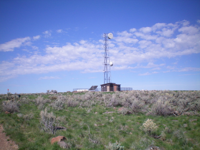
Signal Butte as viewed from the east. Livingston Douglas Photo
Access
From Rogerson, ID, drive 24.0 miles west then southwest on the Rogerson-Jarbidge Highway to a signed junction with 17-Mile Road. Turn right/north onto 17-Mile Road and drive 2.6 miles to an unsigned junction with a 2-track service road that leads west to the summit. Park at this junction (5,800 feet). GPS coordinates: 42⁰10’10”N, 115⁰00’14”W.
East Face, Class 1
The Climb
From the road junction, hike up the somewhat-rutted, overgrown 2-track service road to the communications tower and shed atop Signal Butte.
The antenna-clad summit of Signal Butte. Livingston Douglas Photo
Additional Resources