Elevation: 3,129 ft
Prominence: 162
This peak is not in the book. Published November 2022
Sinker Creek Butte towers over Sinker Creek and the Snake River. It is easily accessible from Murphy Flat Road off ID-78.This hike is entirely on public land (Snake River Birds of Prey Area). USGS Sinker Butte
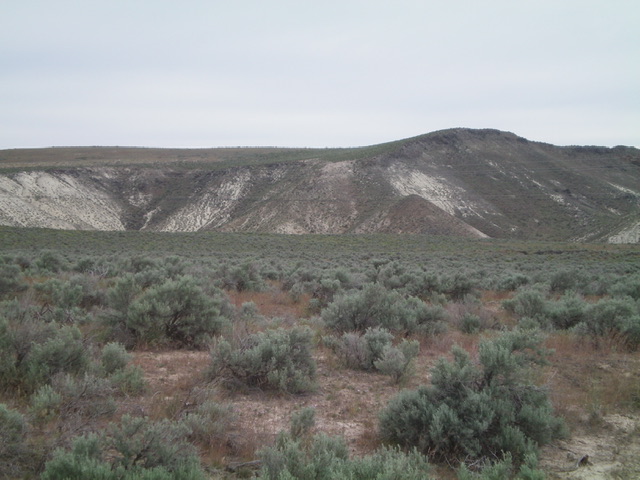
Sinker Creek Butte (summit is the flat area left of center) as viewed from the start of the hike. The hump at right is NOT the summit. Livingston Douglas Photo
Access
Murphy Flat Road (signed and paved) is located along ID-78 exactly 1.1 miles northwest of the [signed] Silver City Cutoff Road. Turn east off ID-78 and reset your odometer. At 1.1 miles, turn left/north at a signed “T” junction. At 1.6 miles, the road bends sharply right/east. At 4.5 miles, reach a signed junction with Sinker Butte Road. Go straight to stay on Murphy Flat Road. The road becomes a gravel/dirt road soon after this junction. At 5.6 miles, turn left onto a 2-track road on the southwest side of Sinker Creek Butte. Park in a pullout at the base of this 2-track road (2,970 feet). GPS coordinates: 43⁰10’42”N, 116⁰24’57”W.
West Face, Class 2
The Climb
From the road junction, bushwhack northeast through sagebrush and sections of field grass, contouring to reach a saddle at the base of the west face of Sinker Creek Butte. From the wide saddle, scramble northeast then east to the summit on an easy slope of sagebrush and field grass. The summit has a summit stake, two USGS benchmarks, and triangulation posts (on the ground).
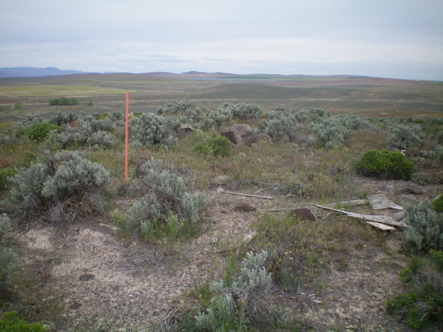
The summit of Sinker Creek Butte. Livingston Douglas Photo
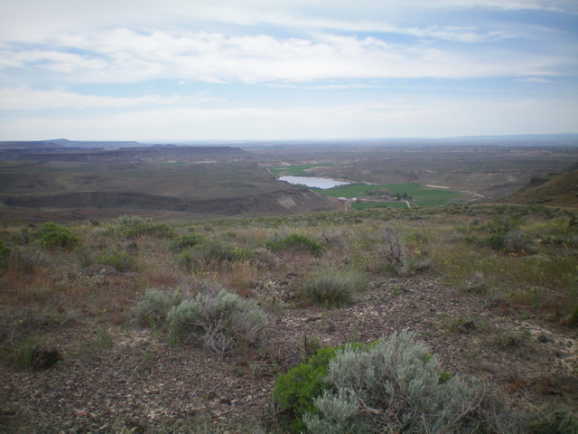
View of the Sierra Del Rio Ranch from the summit of Sinker Creek Butte. That ranch is the starting point for a climb of Montini Volcano. Livingston Douglas Photo
Additional Resources