Elevation: 5,700 ft
Prominence: 289
This peak is not in the book. The elevation and prominence figures reflect recent LiDAR updates. Published November 2022
Sixmile Butte is a rather insignificant hump that is located just east of the Arco-Minidoka Road about nine miles south of Arco, Idaho. It is most easily climbed via its west face. This climb is entirely on BLM land. USGS Arco South
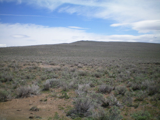
Sixmile Butte (dead center) as viewed from the west. Livingston Douglas Photo
Access
The Arco-Minidoka (A-M) Road begins southwest of Arco, just off US-20. From the junction of US-20 and US-93 in downtown Arco, drive west on US-20 for 1.9 miles. Turn left/south onto [signed] 3100W. This is the A-M Road. Drive 7.8 miles south then southeast on the A-M Road to a cattle guard at a 4-way junction. About 50 yards past the cattle guard, there is a 2-track road to the left/east. Park at the base of this road (5,400 feet). GPS coordinates: 43⁰30’30”N, 113⁰16’21”W. Sixmile Bute is obvious from here and has an antenna on top.
West Face, Class 2
The Climb
From the road junction, follow the 2-track road briefly but leave it when it turns left/north and bushwhack directly at the summit through easy, gapped sagebrush to reach the boulder-and-sage summit of Sixmile Butte. There are three potential high points close to each other: the antenna, a large rocky outcrop to the southeast, and the true/west summit. There is a broken-down cairn atop the true summit. The 2-track road is probably a service road that leads to the summit but it is a longer hike than the route described.
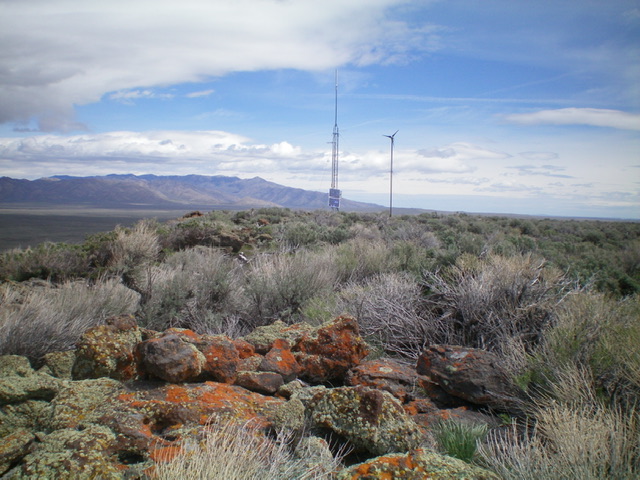
The summit of Sixmile Butte. Livingston Douglas Photo
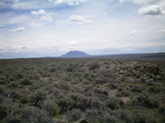
View of Big Southern Butte from the summit of Sixmile Butte. Livingston Douglas Photo
Additional Resources