
The Soda Springs Hills are the southern extension of the [higher] Chesterfield Range located northwest of Soda Springs, Idaho. This group includes both Long Ridge and the Ninety Percent Range. This compact range is less than seven miles long from north to south and less than ten miles wide from east to west. The Soda Springs Hills are bounded on the north by Tenmile Pass and on the east by Soda Creek. They are bounded on the south by US-30 and on the west by Gem Valley.
The Soda Springs Hills are a mix of open field grass and sagebrush, patches of pine forest and mountain mahogany, minor rocky outcrops, and scree/gravel. The majority of the peaks in the Soda Springs Hills are in the 6,000-foot range with one point – the range’s unnamed high point reaching to 7,024 feet. This peak is located on the main ridge of the range about 1.5 miles south of Tenmile Pass.
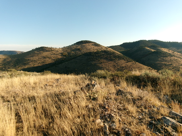
Looking north from the summit of Peak 6533. Livingston Douglas Photo
This area is a mix of private land and public land (mostly BLM land), so be careful. Some of the 11 ranked summits in the Soda Springs Hills are either on private land or are blocked by areas of private land. Only seven of the ranked summits are accessible on public land. The road quality is mixed. There are some well-graded county roads (Tenmile Pass Road, Oregon Trail Road) but others are poor in quality. Some roads are initially of good quality and then deteriorate to a poor condition (Upper Valley Road, Swenson Valley Road). Other roads are more suitable for ATVs.
All of that being said, the publicly-accessible peaks in the Soda Springs Hills are typically free of snow both early and late in the season. This area gets quite hot during mid-Summer and should probably be avoided. The range offers many fun scrambling opportunities. The services available in nearby Soda Springs and dispersed campsites on BLM land enhance the practical aspects of climbing in the Soda Springs Hills. I highly recommend it.
See the BLM travel plan for additional information.
The Soda Springs Hills include 11 ranked summits (north-to-south) as follows: Peak 6858, Soda Springs Hills HP (7,024 feet), Peak 6725, Peak 6405, Peak 6709, Long Ridge (6,978 feet), Peak 6926, Peak 6854, Peak 6533, Peak 7017, and Chester Hill (6,521 feet).
Use this link to read about the specific peaks included in this group: SODA SPRINGS HILLS
Peak 6858 as viewed from the west. Livingston Douglas Photo
Regions: Blackfoot Mountains->Soda Springs Hills->SOUTHERN IDAHO
Mountain Range: Blackfoot Mountains