Elevation: 6,195 ft
Prominence: 670
This peak is not in the book. It is located on private property. You must obtain permission from the Juniper Mountain Ranch to climb this peak. Their website has contact information. Published November 2022
South Junipers HP is located on a private elk preserve that is owned by the Juniper Mountain Ranch. It is the second-highest peak in the St. Anthony Sand Dunes Area west of Parker, Idaho. USGS Big Grassy Ridge
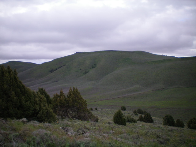
South Junipers HP as viewed from Peak 5821 to its northwest. Livingston Douglas Photo
East Side Access
Red Road is a north-south paved road that is located west of Parker, Idaho. It can be reached from Parker via West 4th North Road or via South Parker Road (500N). Follow either road west to its junction with [signed] Red Road, which is signed as 1900E. From the south, Red Road can be reached on US-20 in North Rexburg (Exit 337). After exiting US-20, turn left/north onto [unsigned] Salem Road (which becomes Red Road). Drive 6.1 miles north on Salem/Red Road to its signed junction with 500N. From the signed junction of 500N and 1900E (Red Road), drive north on Red Road (a paved, 50MPH road) to the [signed] left/west turnoff for the Juniper Mountain Ranch.
East Ridge, Class 2
Follow private 2-track roads west up to a saddle between Point 6106 and South Junipers HP. From the saddle, scramble west up steep sand to reach the summit.
South Side Access
Red Road is a north-south paved road that is located west of Parker, Idaho. It can be reached from Parker via West 4th North Road or via South Parker Road (500N). Follow either road west to its junction with [signed] Red Road, which is signed as 1900E. From the south, Red Road can be reached on US-20 in North Rexburg (Exit 337). After exiting US-20, turn left/north onto [unsigned] Salem Road (which becomes Red Road). Drive 6.1 miles north on Salem/Red Road to its signed junction with 500N (which is signed for “Egin Lakes”). From the signed junction of 500N and 1900E (Red Road), drive west to the Egin Lakes Day Use Area and park.
East Face/South Ridge, Class 2
From Egin Lakes, hike north then west on a 2-track then scramble north up a face then shoulder to intercept another 2-track road. Follow this road north to the east side of South Junipers HP. Scramble west up through the sandy terrain to reach the south ridge and follow it to the top.
Additional Resources
Regions: Saint Anthony Dunes->SNAKE RIVER PLAIN
Mountain Range: Snake River Plain
Longitude: -111.87691 Latitude: 44.0119