Elevation: 9,287 ft
Prominence: 627
Climbing and access information for this peak is on Page 112 of the book. To supplement the book entry, I have included a few photos and the GPS track John Platt recorded on our 2012 ascent of the peak. Updated December 2019
South Loon Mountain is located northeast of Lick Creek Summit and south of North Loon Mountain. North and South Loon Mountains form an impressive divide that separates the Loon Creek and Enos Creek drainages. There is no short way to this summit. Much of this country has burned over the last 30 years. As a result, the trails are in less-than-stellar condition in places. See John Platt’s trip report linked below for additional information. USGS Box Lake
Access
Park at the Duck Lake trailhead which is reached from FH-48 just north of Lick Creek Summit [(B)(3) Page 136]. You have two trail options. The first (described in the book) follows trails past Duck Lake. The second follows the trails shown on the GPS track on the map below. Due to the fire damage, advanced cross-country travel skills are needed to reach this summit.
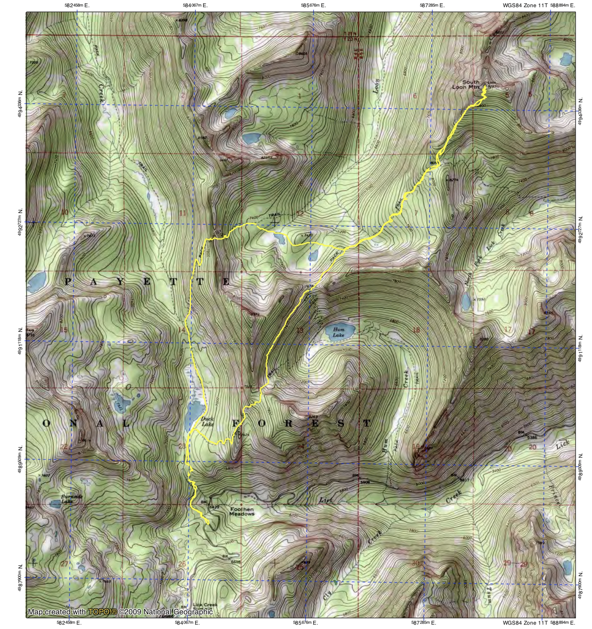
Our loop followed this track clockwise. On the return trip, we bushwhacked between the two passes above Hum Lake. Total distance was 13.5 miles with 4,600 feet of elevation gain.
South Ridge, Class 2+
The South Ridge presents no technical difficulties. Getting to the South Ridge requires endurance and route-finding skills.

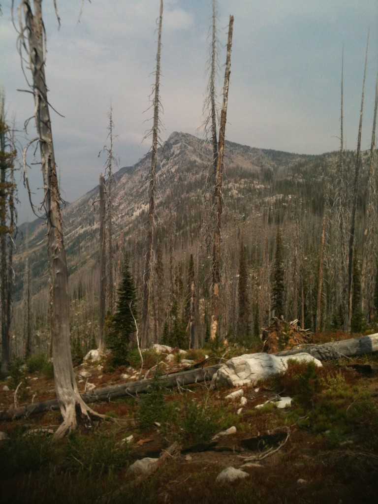
The hike to South Loon Mountain takes you through miles of burned forest. The Western Salmon River Mountains have suffered many large fires over the last 30 years and, unfortunately, this type of scene has become the norm in many places.
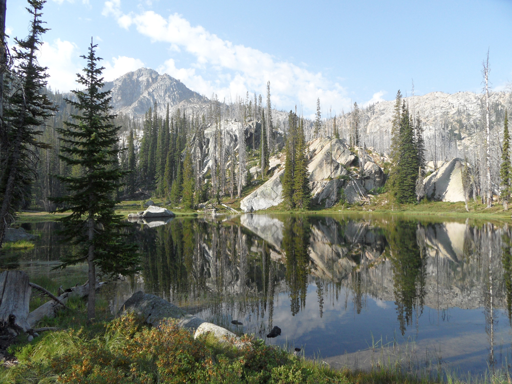
After crossing the Twentymile South Loon Divide, we dropped down into to Hee and Haw Lakes. That’s Humdinger in the background. In 2012, the trail disappeared completely at this point. John Platt Photo
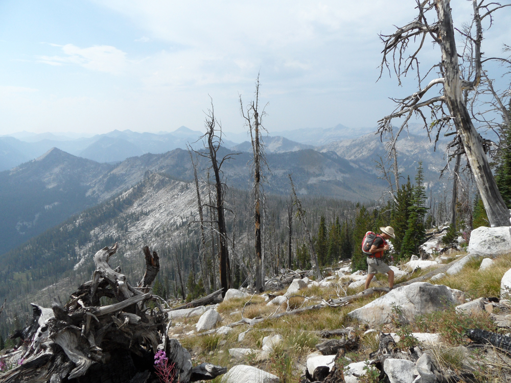
Approaching the saddle on South Loon Mountain’s South Ridge. The trail only exists on a map. John Platt Photo
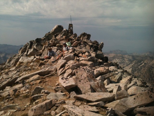
The summit of South Loon Mountain.
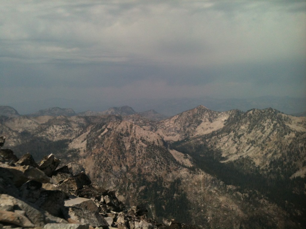
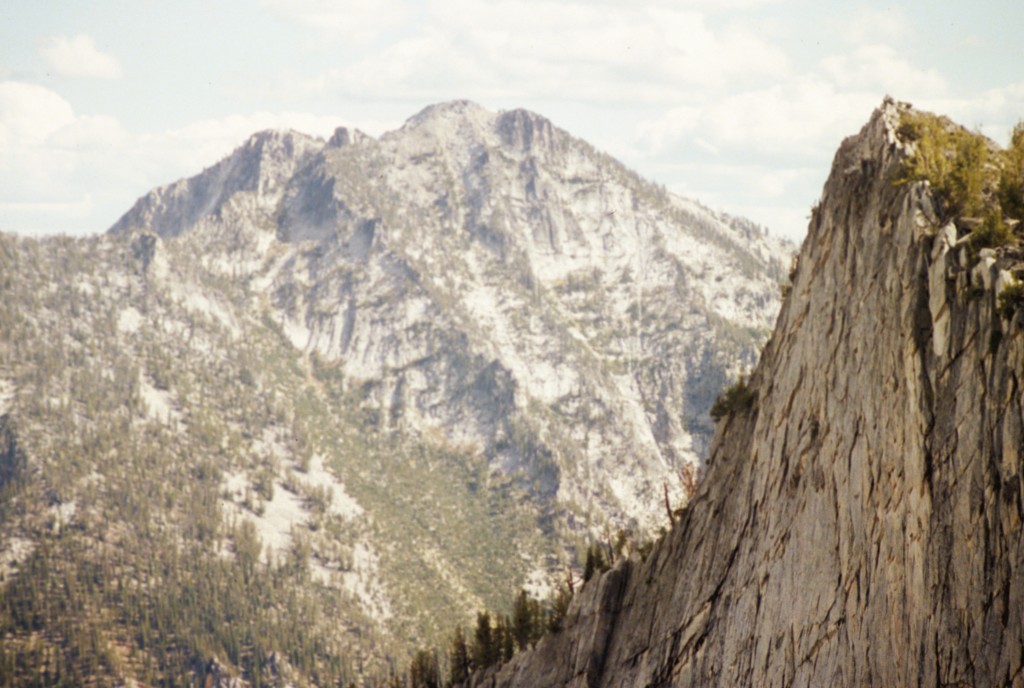
The Lick Creek Range as viewed from the top of South Loon Mountain.
Additional Resources
Mountain Range: Western Salmon River Mountains
Year Climbed: 2012