Elevation: 4,795 ft
Prominence: 145
This peak is not in the book. Published January 2023
Split Butte is located east of Whiskey Butte and northeast of Minidoka, ID in Blaine County. It is most easily reached from Desert Road to its west. Yes, Split Butte has two summits and, when viewed from the west, is obviously split in two. The north summit is the high point. Split Butte is the lowest named summit in Blaine County. USGS Bear Trap Cave
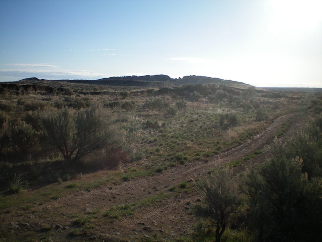
Split Butte as viewed from the west on the approach road hike. Livingston Douglas Photo
Access
From ID-24 at a sharp left/northwest bend just west of Minidoka, drive east on the paved main road (Cherry Street) through the small hamlet of Minidoka to reach the east end of town at a junction with Broadway Street alongside the railroad tracks. From this signed junction, drive east on a paved road/highway (unsigned) for 1.6 miles to a signed junction with Desert Road (i.e., Arco-Desert Road). Reset your odometer and turn left/north onto Desert Road. At 10.3 miles, reach a signed road junction. Park at this junction (4,591 feet on the USGS map) on a 2-track road that heads east (“Split Butte Road”).
South Ridge, Class 2
The Climb
From the road junction, hike (or drive) east for about 2.3 miles on a narrow 2-track road all the way to the southwest end of the Split Butte massif. Split Butte Road ends here at an unsigned “T” junction. Leave the road here and contour east below the west spur of the south ridge of Split Butte in open field grass and sporadic tall weeds. After about 0.2 miles, scramble left/north up onto the west spur. The west spur is a narrow ridge crest of volcanic boulders.
Cross the west spur and drop slightly onto the west face, just below the choppy south ridge and above the crater. Contour north on angled lava gravel and grass. Then scramble diagonally right/northeast up onto the south ridge to reach the ridge past the notch that separates the north summit from the south summit, just past the summit block of the north summit. Scramble a short distance right/south to reach the high point on the north summit of Split Butte. The summit is comprised of lava boulders and has a USGS benchmark.
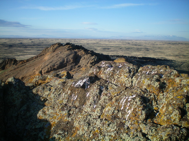
Looking south from the summit of Split Butte. The [lower] south summit is in the background, left of center. Livingston Douglas Photo
East Face, Class 2
The Descent
From the rocky summit, carefully descend the east face on lava gravel/sand (on top of embedded lava slab rock) to quickly reach a wonderful grassy meadow. From the meadow, contour south then southwest on flat, easy field grass to return to the road junction at the southwest end of Split Butte. Hike 2.3 miles down Split Butte Road to return to the parking area at the junction with Desert Road.
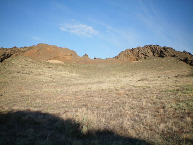
Split Butte as viewed from the east. The rocky summit is to the right. Livingston Douglas Photo
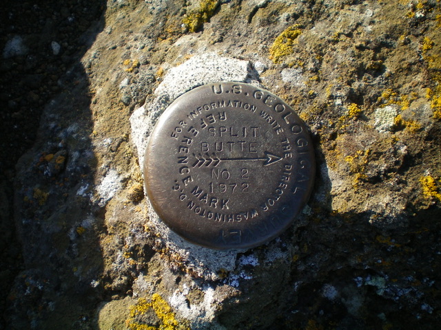
The USGS benchmark atop Split Butte. Livingston Douglas Photo
Additional Resources