Elevation: 7,412 ft
Prominence: 832
This peak is not in the book. Published November 2019
Spring Benchmark is one of only a handful of ranked, named peaks in the South Hills. It towers over Beaverdam Pass and even makes the beautiful, pyramidal-shaped landmark peak (Ibex Peak) look inconsequential. Ironically, Spring Benchmark is a ranked summit. Ibex Peak is not. Spring Benchmark is a fun scramble from Beaverdam Pass, the easiest approach. USGS Ibex Peak
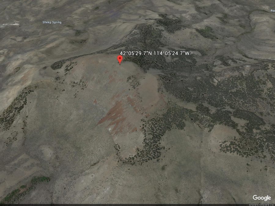
Spring BM. Google Earth Image
Southwest Ridge, Class 2+
Access
Park at the [signed] junction of Trapper Creek Road/FSR-533 and Beaverdam Pass Road/FSR-535. This junction is located 6.4 miles west up Trapper Creek Road from the Sawtooth National Forest boundary. The elevation here is 5,320 feet. Beaverdam Pass Road is a rough, badly-rutted dirt road only suitable to ATVs and HC 4WD vehicles. With the appropriate vehicle, you can drive all the way up to Beaverdam Pass and shorten this climb considerably. You must ford Trapper Creek since there is no bridge or underground pipe here.
The Climb
From the road junction, follow FSR-535 southward for 0.1 to Trapper Creek. Ford the left/east side of the cold creek where the water is shallowest. Once across the creek, hike up the road for about 3-3/4 miles to Beaverdam Pass (6,600 feet). This is cattle country, so be prepared for cow encounters, especially higher up. I ran into a local rancher (on his ATV) at the pass. He was preparing to bring the cattle down for the winter.
From Beaverdam Pass, scramble northeast then east on minor scrub shoulders to reach the southwest ridge. Note that the south ridge merges with the southwest ridge at this point. Once on the ridge, stay to the right/east of thick mountain mahogany on the ridge crest. High up, you encounter a prominent Class 2+/3 cliff band that guards the summit area. Move slightly to the right/east and find a notch to climb onto the top of the cliff band [Note: the cliff band can be averted entirely if you walk far enough to the left/west or right/east]. Once up on the summit plateau, scramble east to the high point. The terrain on the ridge is mostly sagebrush and, as is typical, shortens as you climb higher.
The summit of Spring Benchmark has three (3) triangulation posts arranged in a triangle formation lying on the ground. The Spring USGS benchmark is located about 30 feet from the posts at the south edge of the summit plateau. There was no summit cairn but there were a few rock piles to secure the triangulation wires. The views from the summit are spectacular. The Trapper Creek drainage is far below (to the north), mountain mahogany-clad Ibex Peak is about a mile to the northeast and Joes Mountain is across Beaverdam Pass to the southwest. Spring Benchmark is much more akin to a mountain than a butte and, for a climber, that makes it very worthy of pursuing.
USGS Map Errors on the Ibex Peak Quadrangle
There are some serious measurement errors on the USGS map for Spring Benchmark. For whatever reason, these errors pervade the USGS quads for the South Hills. Spring Benchmark is assessed at 7,412 feet. However, the summit sits directly on the 7,360-foot contour line. There is no contour line for 7,400 feet. So how can Spring Benchmark be 7,412 feet in elevation? Beats me. My altimeter confirmed that Spring Benchmark IS at least 7,412 feet high, perhaps a bit higher.
Nearby icon Ibex Peak also has mismeasurement issues. Ibex Peak is accorded an elevation of 7,272 feet. However, the summit sits directly on the 7,200-foot contour line. There is no contour line for 7,240 feet. Is there a missing contour line or is the 7,272-foot figure incorrect? Your guess is as good as mine. The inconsistencies of the contour lines and the point elevations on the USGS maps in the South Hills are puzzling and confusing. I have never encountered this problem elsewhere in Idaho’s mountains and I use USGS maps ALL THE TIME.
Additional Resources
Regions: South Hills->SOUTHERN IDAHO
Mountain Range: South Hills
Longitude: -114.09019 Latitude: 42.09159