Elevation: 8,020 ft
Prominence: 720
This peak is not in the book. Published July 2022
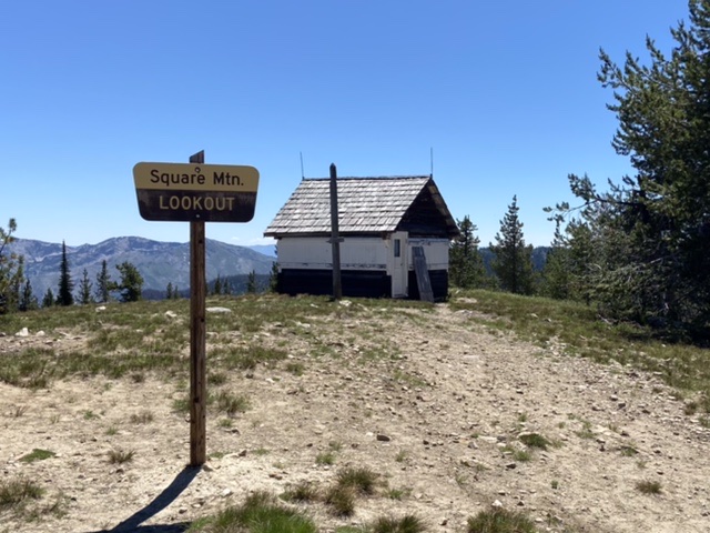
Square Mountain sits deep inside the Gospel Hump Wilderness. A road corridor penetrates into the wilderness and ends on this peak’s summit at a fire lookout that was built in 1931. The lookout was manned into the early 1970s. The structure was repaired in the late 1990s. The view to the east is vast and includes the highest peaks in the Gospel Hump Wilderness. USGS Marble Butte
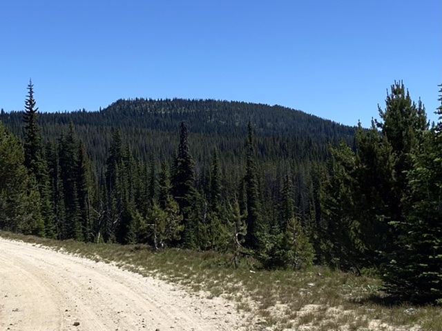
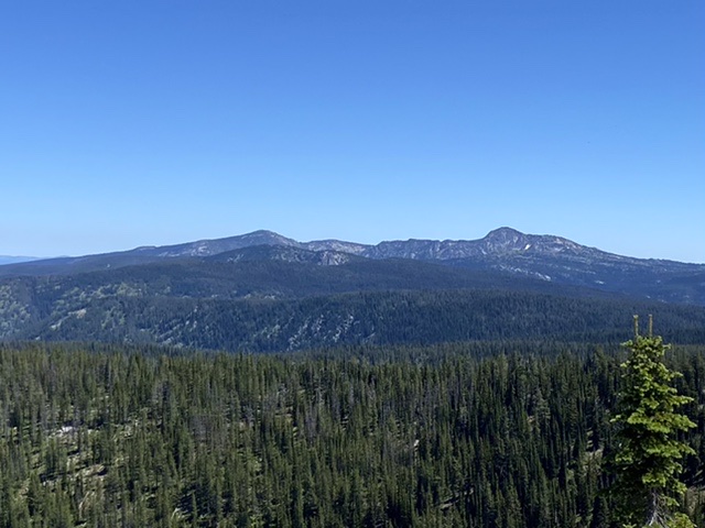
Square Mountain fas viewed from the west
Access and Route, Class 1
Primary access is from US-95 at either Riggins, White Bird, or Grangeville. Secondary access is via FSR-221. FSR-221 is a major, well-maintained road which runs between the main Salmon River east of Riggins and Grangeville. The road’s south end is accessed from Salmon River Road east of Riggins at the point where Allison Creek flows into the Salmon River. The south end is a well built and signed gravel road which is wide and suitable for passenger vehicles in the Summer. To reach FSR-221’s north end from US-95, turn east into Grangeville and continue a long mile on Main Street (ID-13) to the east edge of town.
The town ends abruptly at the old Forest Service office on the northeast corner of the intersection of ID-13 and the Mount Idaho Grade Road. From this intersection, travel south (right from downtown) on the Mount Idaho Grade Road. After 0.7 miles, keep to the right (straight) where the main road curves left at the drive-in theater. The road now becomes Grangeville-Salmon Road. After about two miles, the road begins to climb the mountains south of town after crossing the National Forest Boundary. This road becomes FSR-221 at Fish Creek Campground. Continue on the paved road to well-marked FSR-444. This turn is just before Mile Marker 30 and is approximately 31.0 miles south of Grangeville.
Turn east onto FSR-444. This gravel road is well designed and wide. It is steep and not recommended for trailers. At roughly 8.0 miles, FSR-444 reaches the Upper Gospel Lake viewpoint pull-out. FSR-444 crosses the slopes of Gospel Hill and Gospel Peak. The road ends at the Square Mountain lookout after 12.0 miles. The high point of Square Mountain is just northwest of the summit.
The Square Mountain lookout
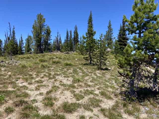
The high point on Square Mountain is in the trees to the northwest of the lookout
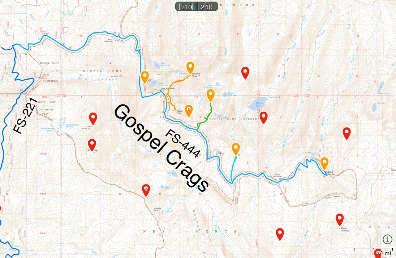
The Gospel Crags comprise five ragged peaks along FS-444
Looking from the lookout to North Pole and Buffalo Hump
Additional Resources
Mountain Range: Southern Clearwater Peaks
Year Climbed: 2022
Longitude: -115.86289 Latitude: 45.59849