Elevation: 7,589 ft
Prominence: 3,449
Climbing and access information for this peak is on Page 103 of the book.
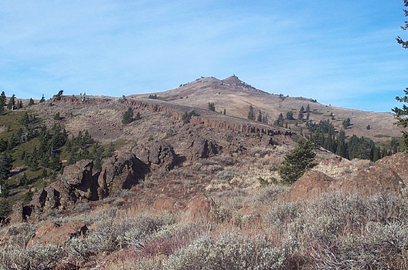
Sturgill Peak is the highest point in the Hitt Mountains and the fifteenth most-prominent Idaho summit with 3,449 feet of rise. The peak’s summit is accessible via a rough road. Most high-clearance vehicles will be able to use this road when it is dry.
Drive US-95 10.0 miles north of Weiser and then turn onto FS-600. The summit is 16.5 miles away. The road follows Mann Creek into the forest before climbing steeply to a saddle south of the lookout. Although the peak has a road to the top, its summit is still a great destination with fabulous views. The road is not busy and serves as a good hiking or mountain biking route. Class 1. Use the trip report links below for more details on alternative routes. USGS Sturgill Peak
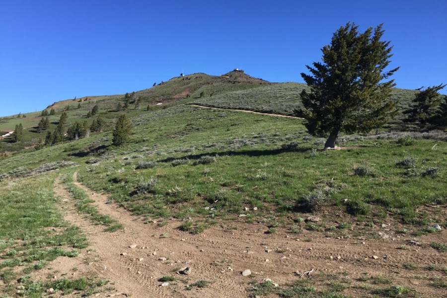
Sturgill Peak as viewed from the saddle to its south.
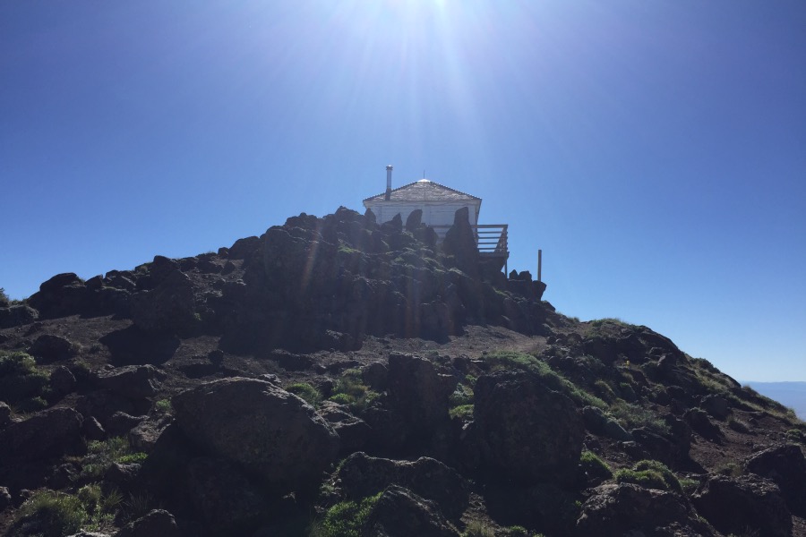
The Sturgill Peak Fire Lookout.
Sturgill Peak. Dan Robbins Photo
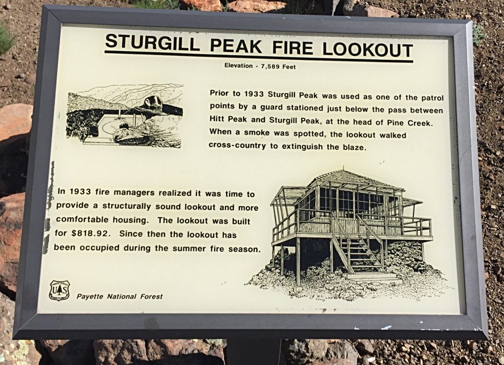
The history of the lookout is found on a sign near the structure.
Additional Resources
Regions: Cuddy and Hitt Mountains->WESTERN IDAHO
Mountain Range: Cuddy and Hitt Mountains
Year Climbed: 2016
Longitude: -116.9435 Latitude: 44.6199