Elevation: 5,235 ft
Prominence: 340
This peak is not in the book. Published November 2022
Table Butte is a rather insignificant hump that is located on the west side of I-15 in Jefferson County. It is easily reached via the Camas-Monteview Road from the I-15 frontage road. USGS Rays Lake
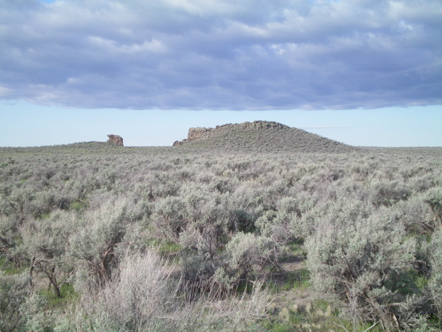
The summit hump of Table Butte as viewed from the east. Livingston Douglas Photo
Access
From Exit 150 (Hamer) on I-15 north of Idaho Falls, drive east for 0.2 miles to reach the frontage road (signed as “Old Butte Highway”). Turn left/north onto the frontage road and drive 6.0 miles to an unsigned junction at an underpass. Leave the frontage road and drive west through the underpass to quickly reach an unsigned “T” junction with the Camas-MonteviewRoad. Turn left/south onto the Camas-Monteview Road (a well-graded dirt/gravel road) and drive 4.3 miles to an unsigned 4-way junction (4,879 feet on the USGS map). Go left/south at this junction and drive 0.3 miles to a corral and park in a large, sandy pullout (4,875 feet). The sandy 2-track road ends about 50 yards farther south at a well with two water tanks.
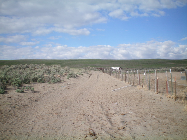
Table Butte as viewed from the corral (start of climb). It is barely perceptible and the summit hump is not yet visible. Livingston Douglas Photo
Northeast Face, Class 2
The Climb
From the corral, follow the 2-track road to its end on the left-hand side of a fenced area that has two water tanks. Scramble south-southwest directly up a slope of easy, short field grass in sandy soil. Higher up, angle south to stay left/east of a dry gully. Reach a flattish area with scattered boulders. From here, the summit hump/block is finally visible to the right/west. Scramble directly at the summit through tall sagebrush. Drop 15 feet to cross a minor dry gully and scramble up to the base of the rocky summit cap/ridge. Climb up the face of the summit block and carefully walk along its top to reach the high point. There are some triangulation posts on the ground to the right/east of the high point. There is a crater of sorts to the left/west of the summit ridge crest and the dropoff is material so don’t lose your footing here. There is no clear reason to call this peak Table Butte as there is no obvious flat area and the summit is the antithesis of a table.
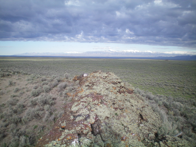
The summit rocks atop Table Butte. Livingston Douglas Photo
Additional Resources