Elevation: 5,518 ft
Prominence: 857
This peak is not in the book.
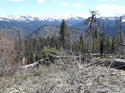
Teapot Mountain is located north of Warm Lake and just west of the South Fork Salmon River. John Platt and John Fadgen climbed the peak in January 2018 starting at the Buckhorn Creek Trailhead on South Fork Road. They made a loop over the summit which covered 5.9 miles with 1,877 feet of elevation gain. I linked John’s trip report below. USGS Teapot Mountain
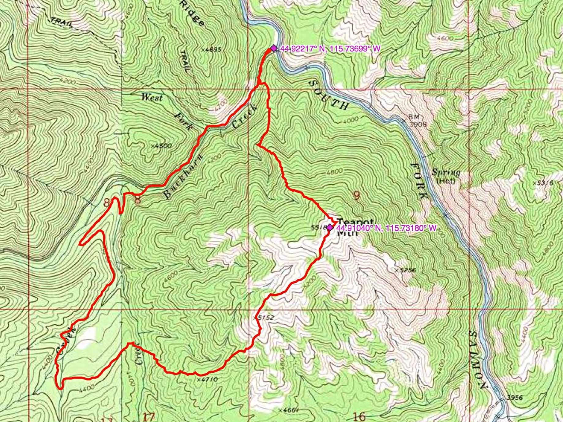
John Platt’s GPS track for his Teapot Mountain excursion.
Additional Resources
Mountain Range: Western Salmon River Mountains
Longitude: -115.73179 Latitude: 44.91039