Elevation: 7,515 ft
Prominence: 1,775
This peak is not in the book. Published June 2018
Thorn Creek Butte is located south of Idaho City. It has significant prominence and all of the nearby peaks and ridges are much lower in elevation. As a result, it has a massive 360-degree view. The peak can be accessed by roads from three directions. The best quality road is FS-304. USGS Arrowrock Reservoir NE
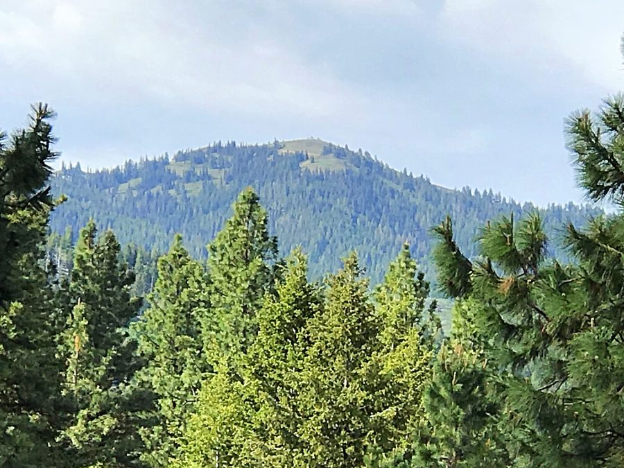
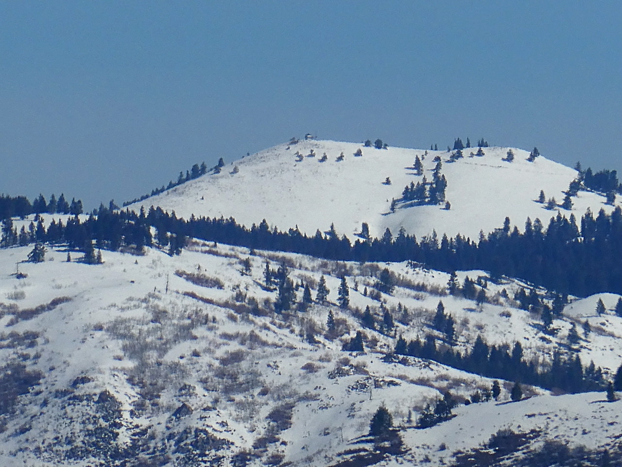
Thorn Creek Butte as viewed from Hoodoo Peak.
Access and Route, FS-304, Class 1
This road is accessed from ID-21 just east of Idaho City. The turn is signed for Thorn Creek Butte. Turn south and quickly cross a bridge over Mores Creek. After the bridge, the road then weaves through a flat area used by campers and reaches a junction. Stay left at the junction which is signed as FS-304. It is 14.3 miles to the summit from the highway. At 12.3 miles, FS-304 becomes FS-203. Shortly after this number change, the road reaches Bald Campground which has a pit toilet and 4 campsites. The road to this point is narrow but, with the exception of one rutted spot, is passable for most vehicles if driven slowly and carefully. The road deteriorates after the campground. Therefore, traveling the remaining distance on foot is recommended. Otherwise, a 4WD vehicle is advised.
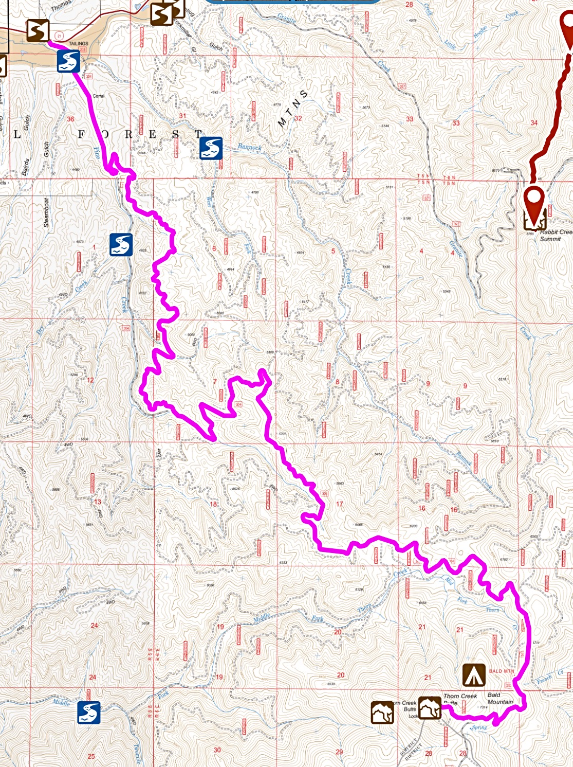
My GPS track for FS-304/FS-203. Trip stats: 14.3 miles with 3,315 feet of elevation gain.
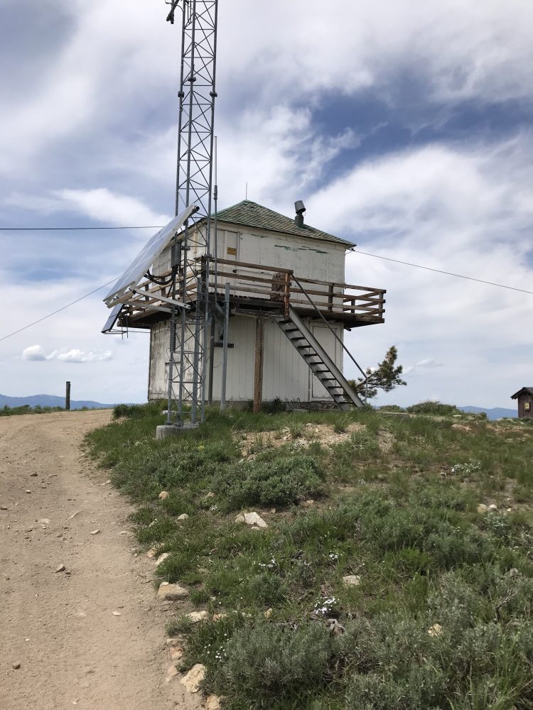
The lookout has seen better days.
Thorn Creek Butte as viewed from Mount Heinen.
Thorn Creek Butte viewed from Deep Peak in April 2020.
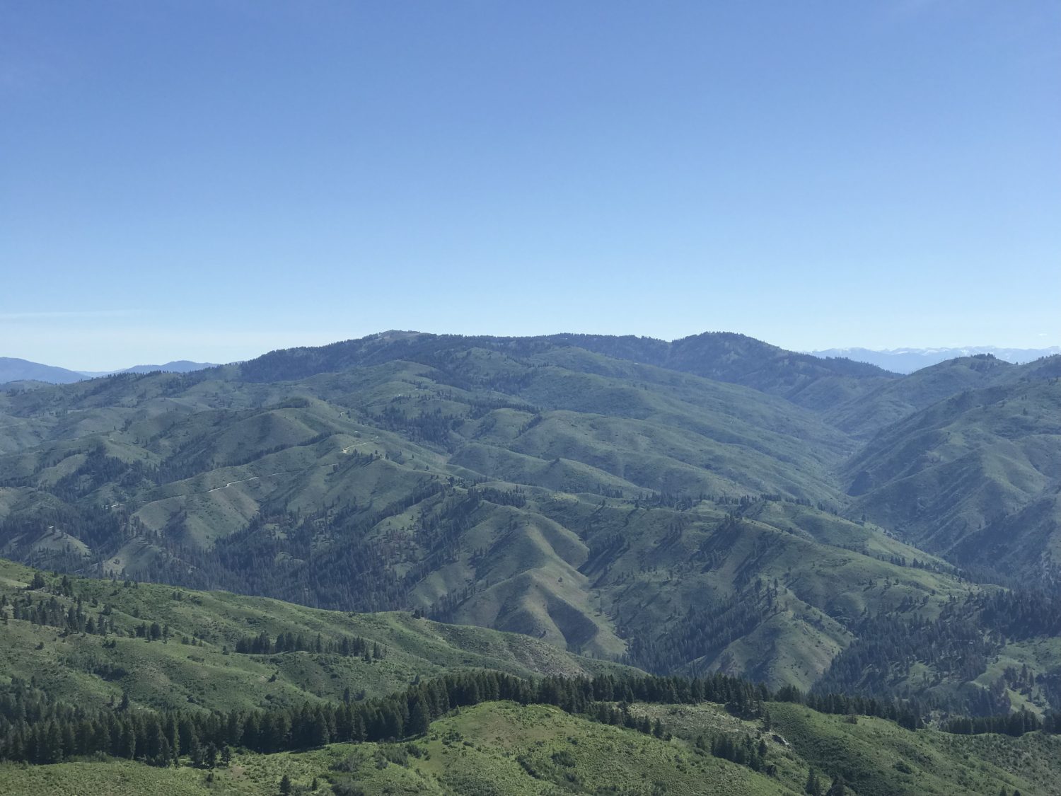
A sampling of the views from the summit
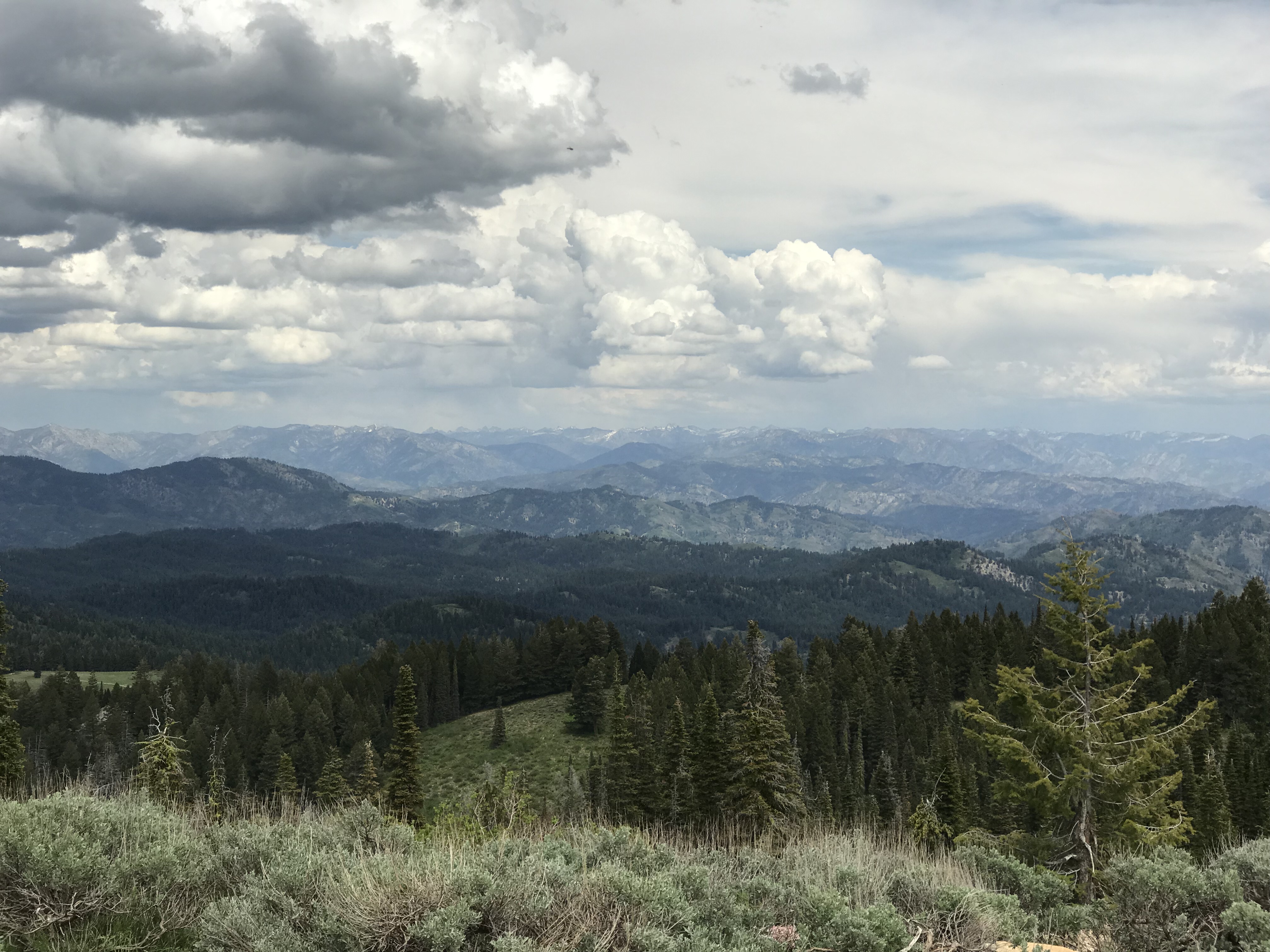
Looking east toward the Sawtooth Range.
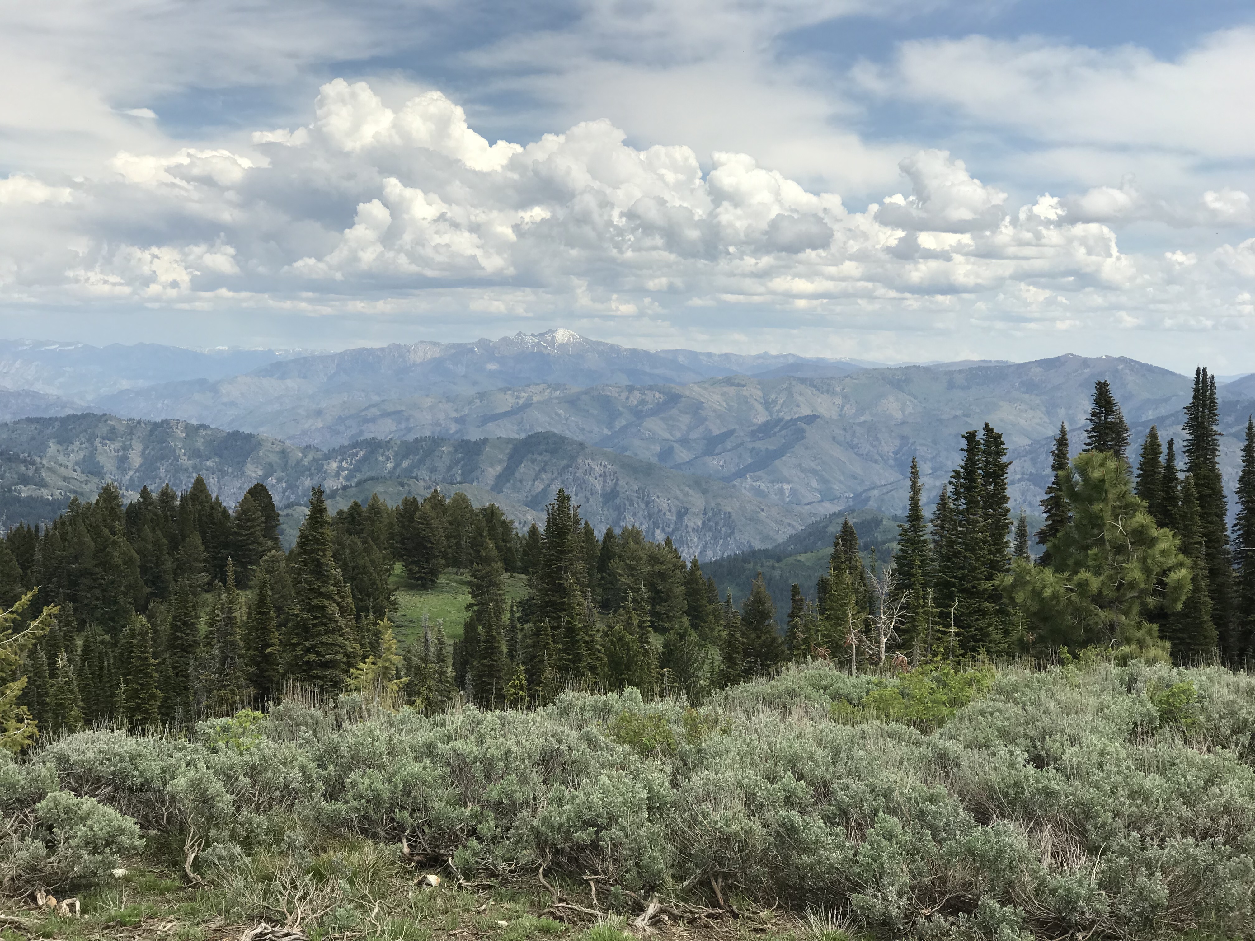
Looking south toward Steel Mountain.
Additional Resources
Regions: Boise Mountains->WESTERN IDAHO
Mountain Range: Boise Mountains
Year Climbed: 2002, 2018
Longitude: -115.75139 Latitude: 43.74479