Elevation: 5,590 ft
Prominence: 60

This butte is not in the book. Published November 2022
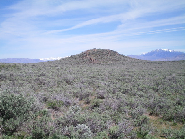
Tin Cup Butte is located on the east side of the Arco-Minidoka Road about 13 miles south of Arco, Idaho. It is most easily climbed via its west face. It is best climbed in combination with nearby Sunset Ridge (5,609 feet) to its south. USGS Quaking Aspen Butte
Access
The Arco-Minidoka (A-M) Road begins southwest of Arco, just off US-20. From the junction of US-20 and US-93 in downtown Arco, drive west on US-20 for 1.9 miles. Turn left/south onto [signed] 3100W. This is the A-M Road. Drive 11.5 miles south then southeast on the A-M Road to a signed junction with a road heading right/southwest for “Fingers Butte Well 6.” Park at this road junction or drive 0.1 miles on the side road to a large parking area at a corral (5,390 feet). GPS coordinates: 43⁰27’32”N, 113⁰14’31”W.
West Face, Class 2
The Climb
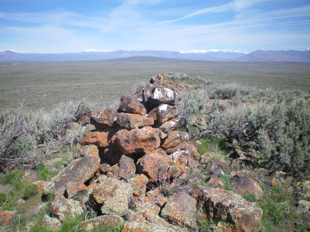
From the road junction, bushwhack east-northeast directly at Tin Cup Butte, which is visible from the road. Head northeast for 1/4 mile toward a fence row. When you reach it, crawl under it, and continue east then northeast directly at the summit block. The terrain is gapped sagebrush, thick at times (requiring weaving). The summit of Tin Cup Butte has a large cairn.
South Face, Class 2
The Descent
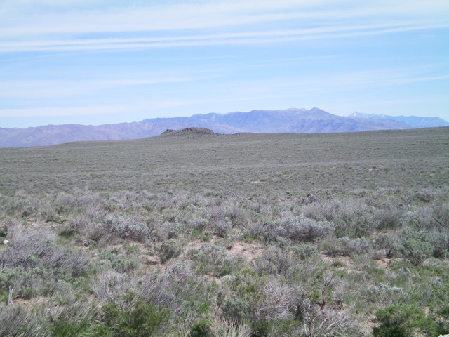
From the summit, descend south through gapped sagebrush directly at Point 5507. The summit cairn atop Sunset Ridge is visible from the top of Tin Cup Butte. You will reach the low point that connects Tin Cup Butte and Sunset Ridge just west of Tin Cup Lake, which is currently a dried-up lake bed. This low point is the termination of the first leg of today’s 2-peak journey. Sunset Ridge is up next.
Additional Resources


