Elevation: 5,262 ft
Prominence: 92
This peak is not in the book. Published November 2023
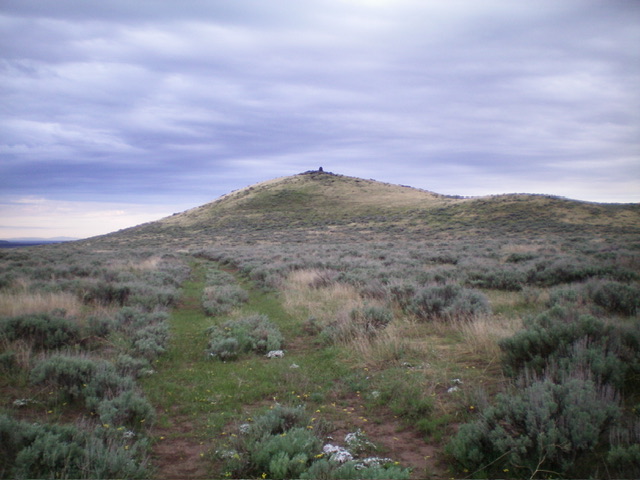
Turnbull Butte is located just south of Laidlaw Park Road in the desolate southwest section of Craters of the Moon National Monument. It is easily reached via an old 2-track road and a short scramble to the top. USGS North Laidlaw Butte
Turnbull Butte as viewed from the north. Livingston Douglas Photo
Access
From US-20 east of Carey, turn right/south onto [signed] North Laidlaw Road. This junction is 0.2 miles west of Fish Creek Road, which is well-signed. Drive south on North Laidlaw Road for 1.2 miles to an unsigned “T” junction. This is Laidlaw Park Road. It can also be approached directly from farther west on US-20 and the road quality should be fine. Turn left/southeast onto Laidlaw Park Road and drive 13.6 miles to reach a signed 4-way junction (5,078 feet on the USGS map).
Continue straight/east for another 2.0 miles to an unsigned junction with an old, overgrown 2-track road that heads right/south toward Turnbull Butte. Park at this junction. This road is not drivable. This unsigned road junction (still shown on the USGS topo map) is at 5,164 feet and 43⁰16’13”N, 113⁰34’47”W.
North Ridge, Class 2
The Climb
From the road junction, hike south on the overgrown 2-track road to the base of the north ridge. Leave the road and scramble south up through easy scrub/grass to the well-cairned summit.
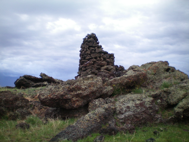
The tall summit cairn atop Turnbull Butte. Livingston Douglas Photo
Additional Resources