Elevation: 7,766 ft
Prominence: 586
This peak is not in the book. Published November 2020
Twin Peaks West is the high point on a long northwest-to-southeast ridge that includes Peak 7669 to its northwest and [the lower] Twin Peaks East to its southeast. The shortest access to the peak is via FST-213 (an ATV trail/road) to its northwest and a bushwhack and ridge traverse on a use trail. Twin Peaks West offers a beautiful view of the Snake River from its open summit. USGS Temple Peak
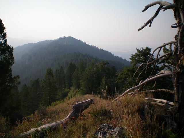
Twin Peaks West (bare hump in center) as viewed from Peak 7669 to its northwest. Livingston Douglas Photo
Access
Same as for Peak 7669. This is the final leg of a 2-peak journey that begins at the base of FST-213.
North Ridge, Class 1+
The Climb
From the 7,340-foot connecting saddle with Peak 7669, follow a steep, rugged use “trail” to the summit. I use the term “trail” loosely here because the footpath is overgrown and has some treacherously steep, loose sections of scree/gravel. That being said, it still beats bushwhacking in the tall, thick veg and thick forest nearby. The summit of Twin Peaks West is an open scrub hump with loose talus scattered about and a decent summit cairn. It offers a magnificent view of Twin Peaks East (7,640+) and the Snake River.
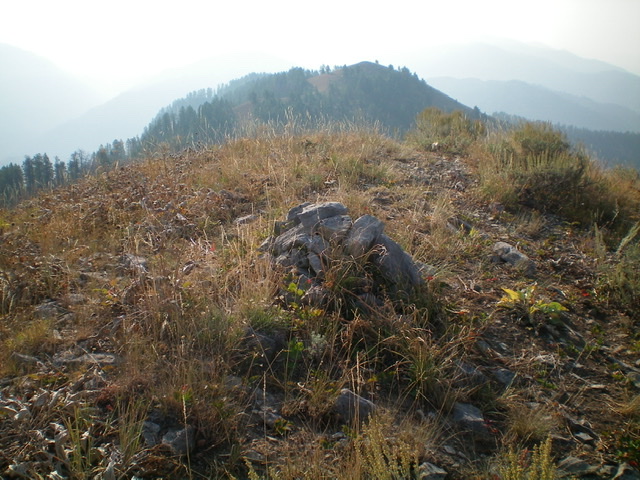
The summit cairn atop Twin Peaks West with [the lower] Twin Peaks East in the background on a very smoke-hazy morning. Livingston Douglas Photo
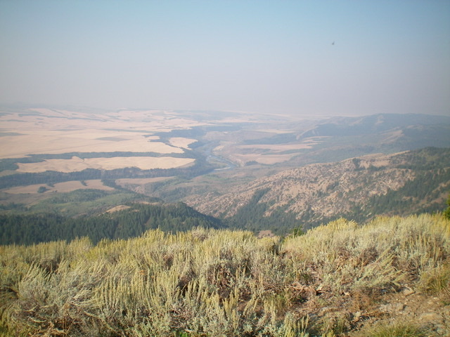
View of the magnificent Snake River from the summit of Twin Peaks West. Livingston Douglas Photo
![The summit cairn atop Twin Peaks West with [the lower] Twin Peaks East in the background. Livingston Douglas Photo](https://www.idahoaclimbingguide.com/wp-content/uploads/6ACC6C87-42AF-44F1-8C9A-FC700272FE16.jpeg)
The summit area atop Twin Peaks West, looking northwest at Peak 7669 (hump in dead center). Livingston Douglas Photo
Additional Resources
Mountain Range: Big Hole and Snake River Mountains
Longitude: -111.47669 Latitude: 43.63249