Elevation: 7,980 ft
Prominence: 320
This peak is not in the book. Updated September 2021
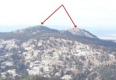
Twin Peaks has two distinct summits. The southernmost is the highest and the only one with prominence. It is located just north of the rugged North Face of Jughandle Mountain. USGS Paddy Flat
The south summit of Twin Peaks viewed from the north summit.
Access
Access is via the Boulder Creek Road and either the Boulder Creek Trail System or the Louie Lake Trail [(A)(4)(a) or (b) Pages 137-138]. These two trails can be linked together into a nice loop hike. See the map below.
South Ridge, Class 2
Follow the Louie Lake Trail west from the lake to the pass above. From the pass turn north and climb the mostly grass covered South Ridge to the broad summit.
West Slopes, Class 2
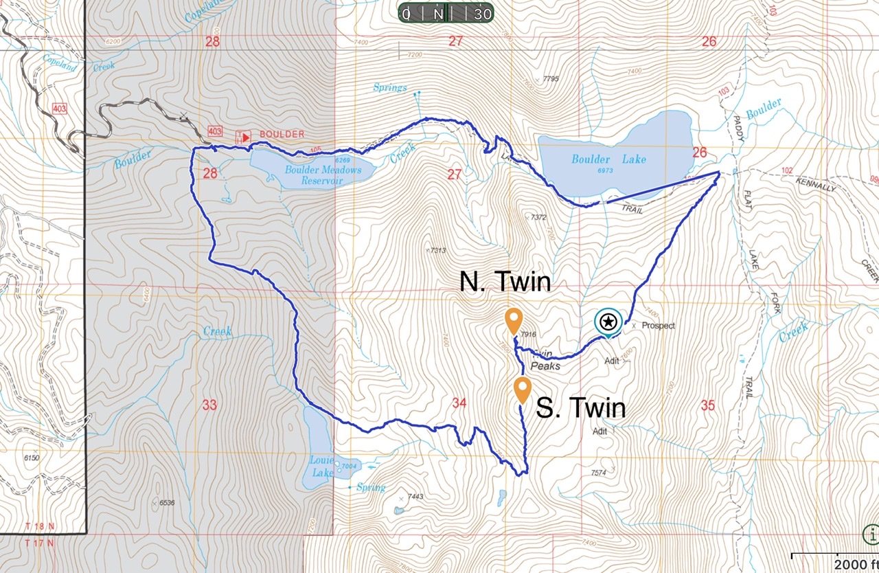
This map shows my GPS track. We hiked the Boulder Creek trail to the junction at the southeast corner of Boulder Lake. We then followed the trail that leads southwest toward Louie Lake. (This trail is not on some USFS maps.) We left the trail at the “star” and climbed due west to the peak’s summit ridge. This loop,covered 7.0 miles with 1,660 feet of elevation gain.
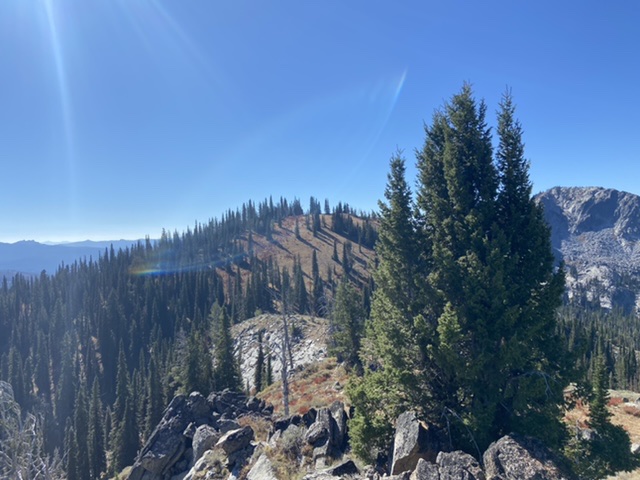
Twin Peaks as viewed from the east. John Platt Photo
Additional Resources
Mountain Range: Western Salmon River Mountains
Year Climbed: 2021
Longitude: -115.94829 Latitude: 44.85459