Elevation: 6,054 ft
Prominence: 1,194

This peak is not in the book.
Warm Springs Point is located southwest of Idaho City and northeast of the confluence on Mores Creek and Grimes Creek, the two major drainages in the southwestern Boise Mountains. The peak is the most prominent summit in this area. To reach the peak, follow Centerville Road from Idaho City for 3.8 miles and the turn left onto FS-311. Follow FS-311 south for roughly 6 miles to the point where the road crosses the peak’s East Ridge roughly 0.25 miles east of the summit. A 4WD road leaves the main road and climbs quickly to the summit. Class 1.
FS-311 can also be accessed from ID-21 at the confluence of Mores Creek and Grimes Creek. Turn off ID-21 onto Grimes Creek Road and immediately turn right onto FS-311. FS-311 is a steep, narrow road but does not necessitate a 4WD when dry. Check with the Forest Service for current conditions. USGS Warm Springs Point
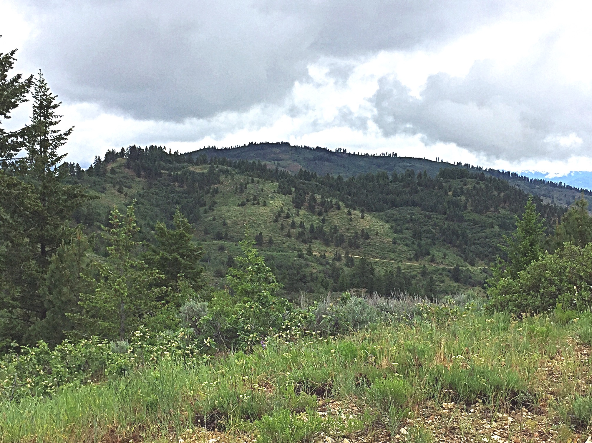
Warm Springs Point as viewed from Casner Mountain.
Additional Resources
Regions: Boise Mountains->WESTERN IDAHO
Mountain Range: Boise Mountains
Year Climbed: 2017
Longitude: -115.93129 Latitude: 43.80029