Elevation: 4,633 ft
Prominence: 23
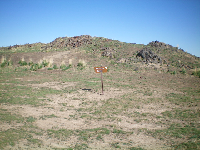
Whiskey Butte is located north of Minidoka, ID in Minidoka County. With only 23 feet of prominence, Whiskey Butte is a barely perceptible hump just west of the Arco-Desert Road. It has an old 2-track that leads to the base of its south face and has a nice BLM sign there. USGS Brigham Point
The east side of the rocky summit hump of Whiskey Butte. Livingston Douglas Photo
Access
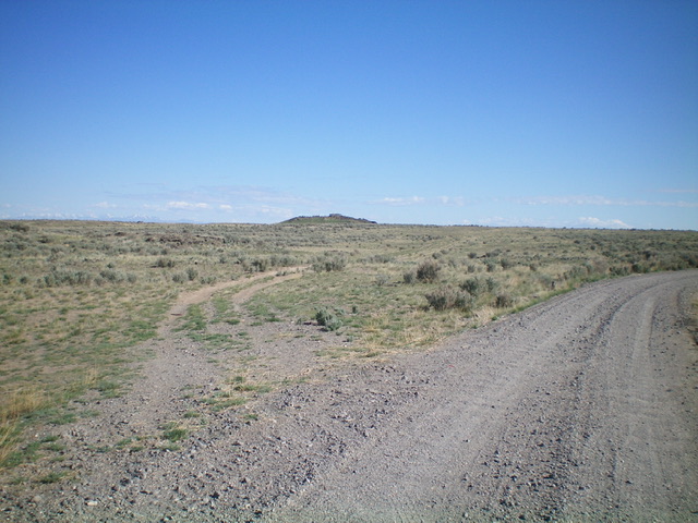
From ID-24 at a sharp left/northwest bend just west of Minidoka, drive east on the paved main road (Cherry Street) through the small hamlet of Minidoka to reach the east end of town at a junction with Broadway Street alongside the railroad tracks. From this signed junction, drive east on a paved road/highway (unsigned) for 1.6 miles to a signed junction with Desert Road (i.e., Arco-Desert Road). Reset your odometer and turn left/north onto Desert Road. At 11.2 miles, reach an unsigned road junction. Park at this junction (4,585 feet on the USGS map). “Whiskey Butte Road” heads left/north from here.
Whiskey Butte as viewed from the road junction (start of hike). Livingston Douglas Photo
South Slopes/South Face, Class 2
The Climb
From the road junction, hike (or drive) north up (unsigned) Whiskey Butte Road for about 0.5 miles to a small meadow at the base of the south face of Whiskey Butte. Scramble up the lava boulders to reach the boulder-clad summit. Contrary to the USGS map, there is no USGS benchmark on the summit.
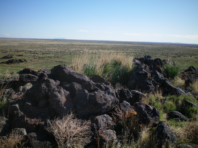
The summit boulders atop Whiskey Butte. Livingston Douglas Photo
Additional Resources