Elevation: 9,623 ft
Prominence: 763
This peak is not in the book. Margo Mandella and Livingston Douglas provided the route updates found below. Updated November 2020
White Mountains West is located at the south end of Copper Basin between Broad Canyon and Bear Creek. It is in the White Mountains Range, a small mountain range comprised of only two summits. White Mountains West is the [higher] ranked peak. Both White Mountains summits are dominated by bigger peaks of the nearby Pioneer Mountains. Both peaks provide a good place to observe the surrounding country. The peak is circled by roads and trails, so access is good. White Mountains West is one of five White Mountains in Idaho, and one of 31 named peaks and high points with the word “white” in the name. USGS Star Hope Mine
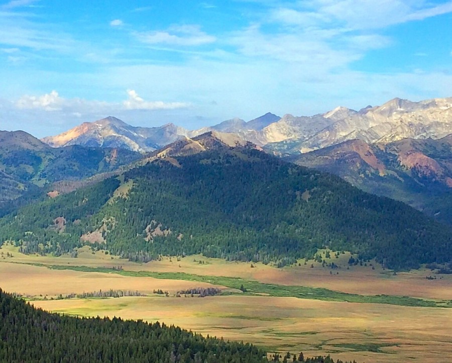
The White Mountains sit in front of the main Pioneer Mountains Crest between Broad Canyon and Bear Creek.
Access
Access is from Copper Basin. Follow the Copper Basin Loop Road [(C)(3) on Page 260] to Star Hope Campground. From the campground, FST-062/Bear Canyon Trail [(C)(3)(c) on Page 260] runs along the south side of White Mountain. This trail reaches a junction with FST-043 southwest of the summit of White Mountain. FST-043 climbs north to a pass on the peak’s north ridge.
The White Mountains (mid-ground) as viewed from the south. White Mountains West is left of center and White Mountains East is the bare hump right of center. Livingston Douglas Photo
Ridge Traverse from White Mountains East by Livingston Douglas
The Traverse, Class 2
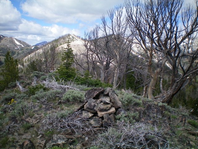
From the summit of White Mountains East, follow the ridge crest southwest to a saddle. Continue southwest along the easy, open ridge crest to reach the top of the middle summit (Point 9440+). This point has a nice cairn atop it. Continue west along the ridge crest to reach the summit of White Mountains West (9,623 feet). This ridge traverse is on mostly open ground and presents no problems, just some ups and downs. The summit of White Mountains West has a modest cairn.
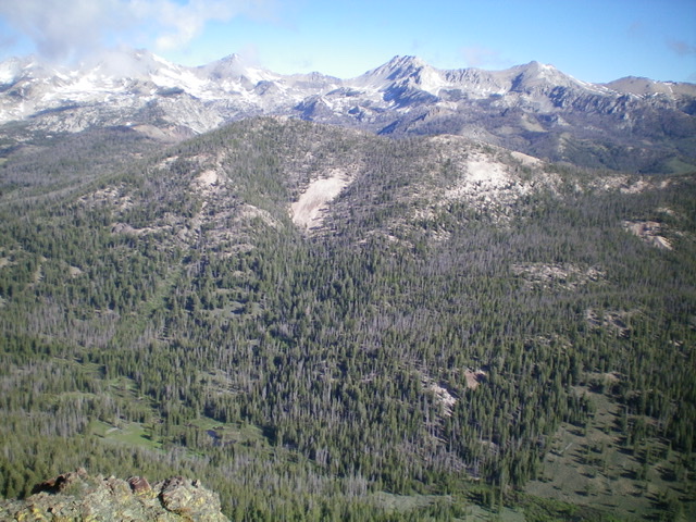
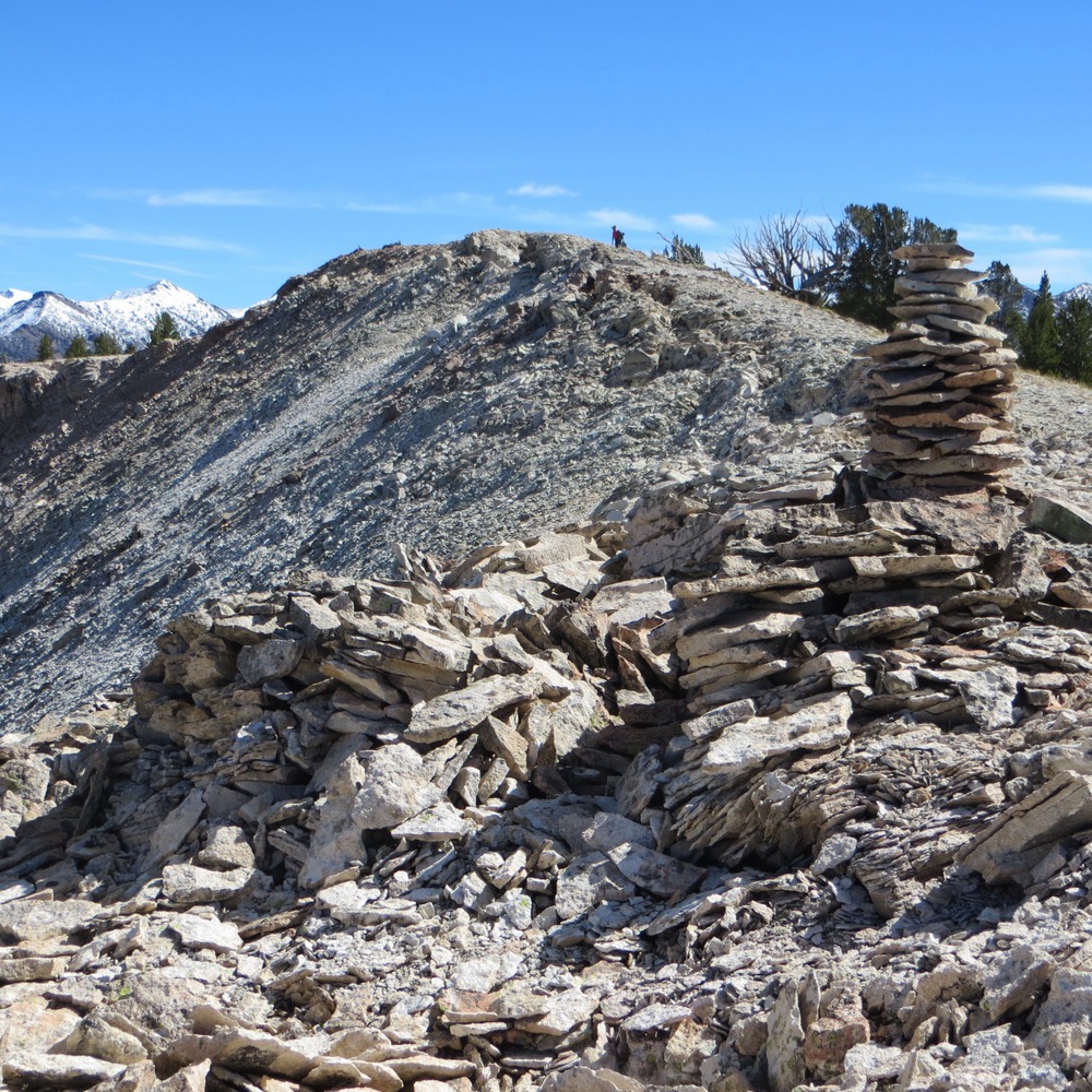
White Mountains West as viewed from White Mountains East. The middle summit (Point 9440+) is the hump in the center. White Mountains West is right of center and is behind the dead trees in the photo. Livingston Douglas Photo
Looking east along the connecting ridge with White Mountains East from the summit of White Mountains West. The middle summit (Point 9440+) is the hump in dead center. White Mountains East is forested and is to the far left. Livingston Douglas Photo
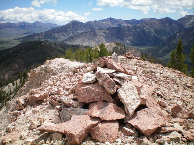
The [very] white rock of the White Mountains, best seen here from the summit of White Mountains West looking northwest. Livingston Douglas Photo
2016 Trip Report by Margo Mandella
The day after the 2016 IdahoSummits Fall Outing, Dan Robbins and three others climbed White Mountains West (and East) and contributed the following photos, GPS track, and a link (below) to Dan’s trip report. Class 2.

Glide Mountain is seen at the start of the Bear Canyon trail (out of Star Hope Campground), which can be used as an approach route for the White Mountains. Steve Mandella Photo
Our route began from the Star Hope Campground on the Bear Canyon trail.
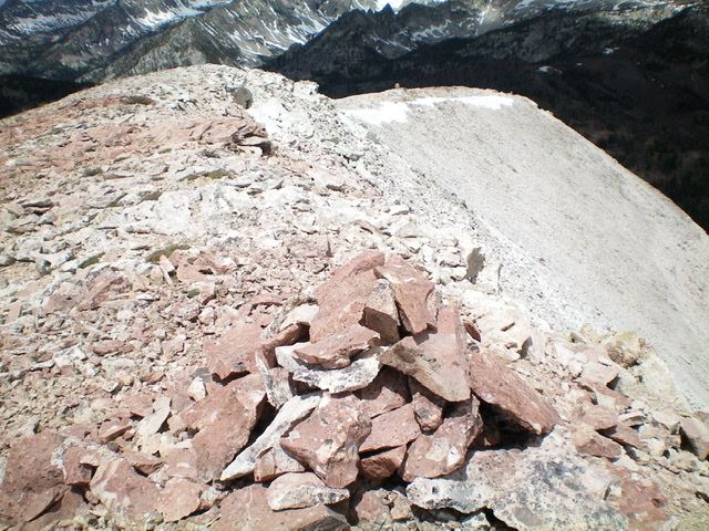
Looking at the summit of White Mountains East behind the cairn. Steve Mandella Photo
We followed the trail until we reached a point that was suitable to go off-trail and head toward the summit ridge.
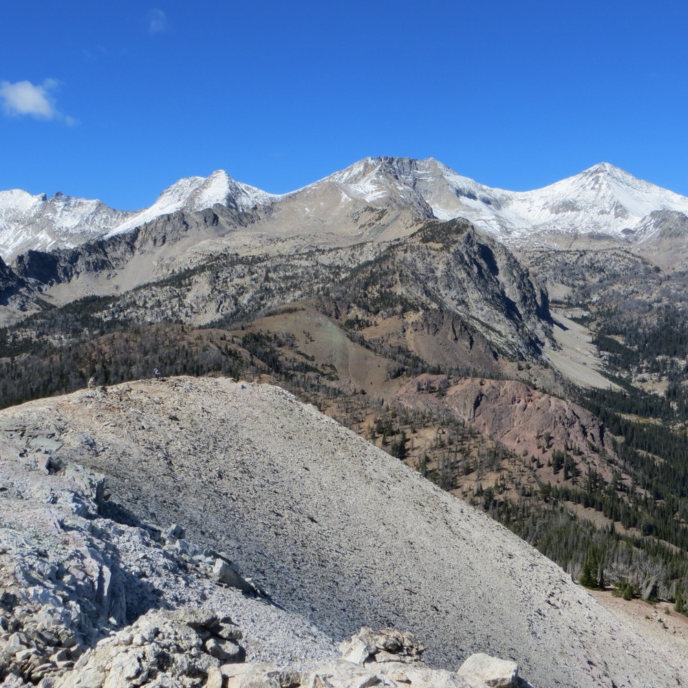
The view of White Mountains West and the Pioneer Peaks from the summit of White Mountains East. Steve Mandella Photo
We enjoyed a short, view-filled trek to the actual summit.
Our Route
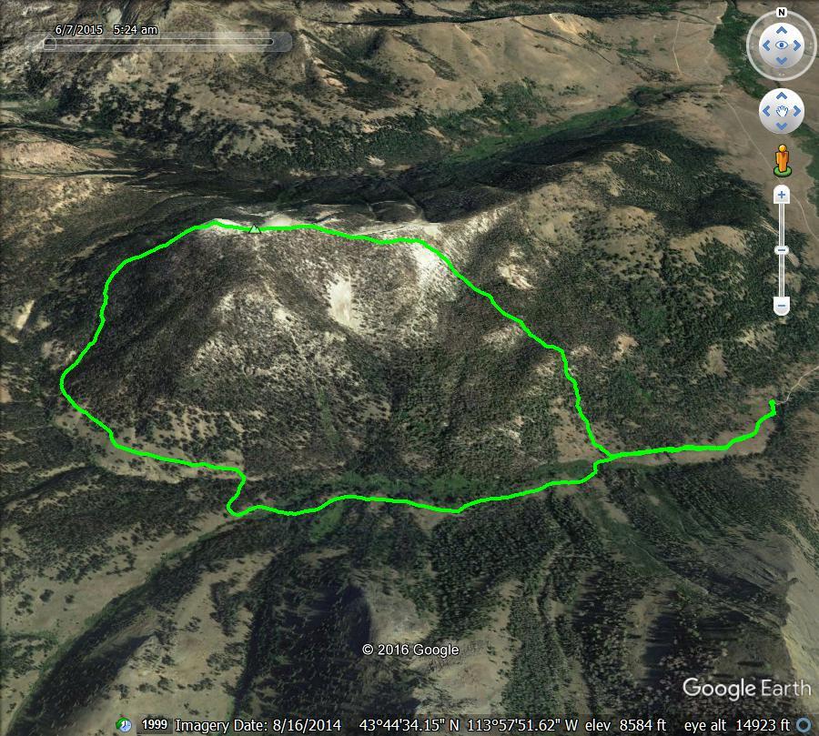
GPS track showing a loop route to the summit of White Mountains West. Margo Mandella Map
Additional Resources
Regions: EASTERN IDAHO->Pioneer Mountains
Mountain Range: Pioneer Mountains
Longitude: -113.97239 Latitude: 43.74739