Elevation: 5,085 ft
Prominence: 284
This peak is not in the book. Also see the Owyhee Mountains Peaks List for all of the peaks in this range. Elevation and prominence figures are updated based on recent LiDAR measurements. Livingston Douglas significantly revised this page. Updated October 2025
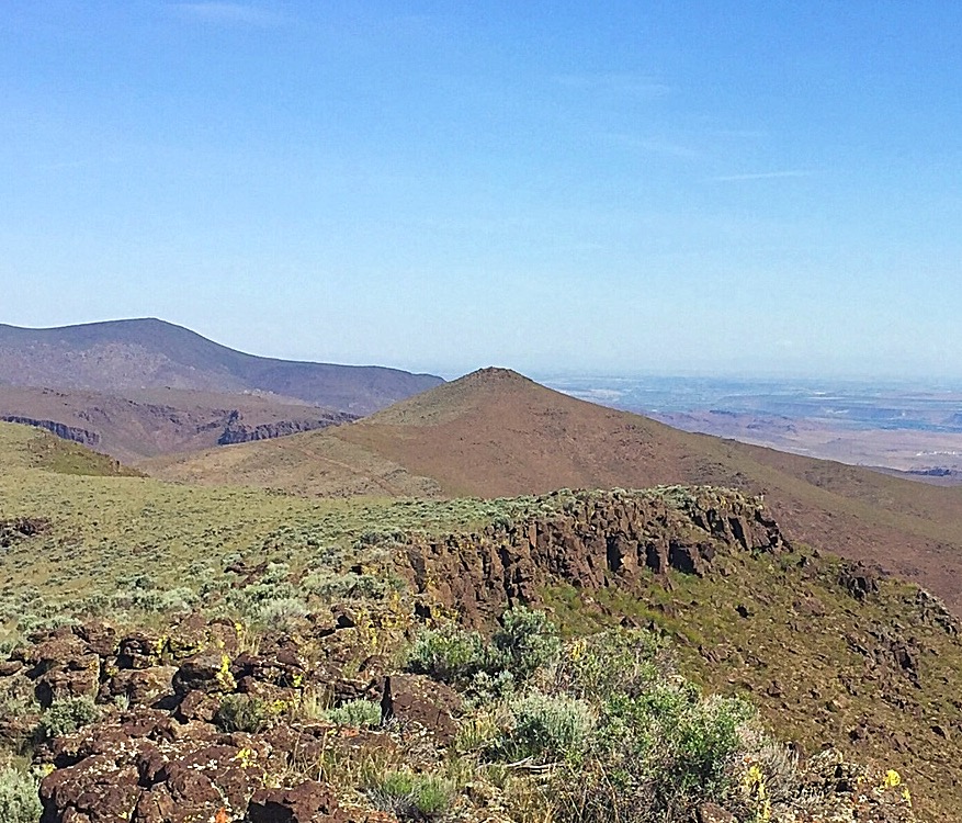
Windy Point is a distinctive peak visible from ID-78. USGS Reynolds
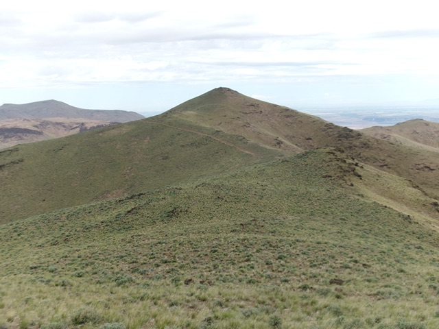
Windy Point as viewed from Peak 5165.
Access
Reynolds Creek Road [(A)(1) on Page 346]. See my Access directions for Reynolds Peak. From the high saddle (and parking area) on Reynolds Creek Road, continue another 1.8 miles south on Reynolds Creek Road. Park in a nice pullout at a junction with an ATV trail [4,012 feet; 43°14’01.8”N, 116°43’32.2”W].This is the closest access point for a dual climb of Windy Point and Peak 5165. This is the first leg of a 2-peak adventure that includes Windy Point and Peak 5165. It covers 5.7 miles with 1,675 feet of elevation gain round trip.
Map Updates
The USGS topo map shows many spurious roads in this area and fails to show the actual ATV/MC trails in this area. Don’t rely on it.
West Ridge, Class 2
The Climb
From the roadside pullout, cross to the east side of Reynolds Creek Road and bushwhack east up over a sagebrush ridge. Drop 20 vertical feet to cross a dry gully. Continue east up steeper sagebrush and up over a headwall of sorts to reach two ridge humps. Bend left-ish and cross the second hump. Descend almost 100 vertical feet east to a saddle and an ATV trail. Follow the ATV trail briefly east then leave it to bushwhack left-ish/northeast up through more sagebrush to reach a rocky point on the south ridge. Go left/north here and scramble along the rock-and-scrub ridge to reach the well-cairned summit of Windy Point.
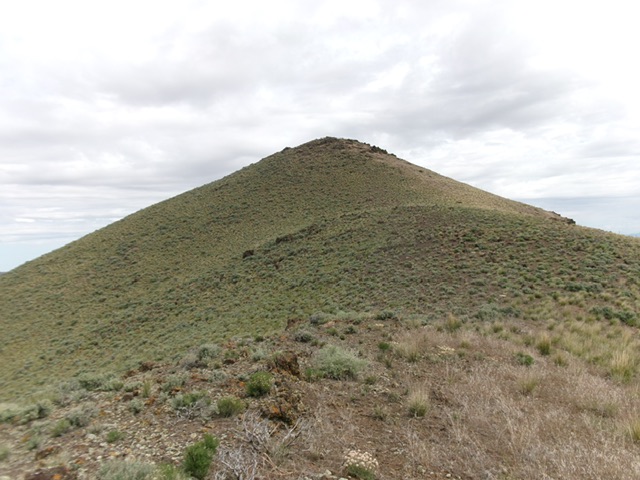
Approaching the summit of Windy Point from high on its south ridge. Livingston Douglas Photo
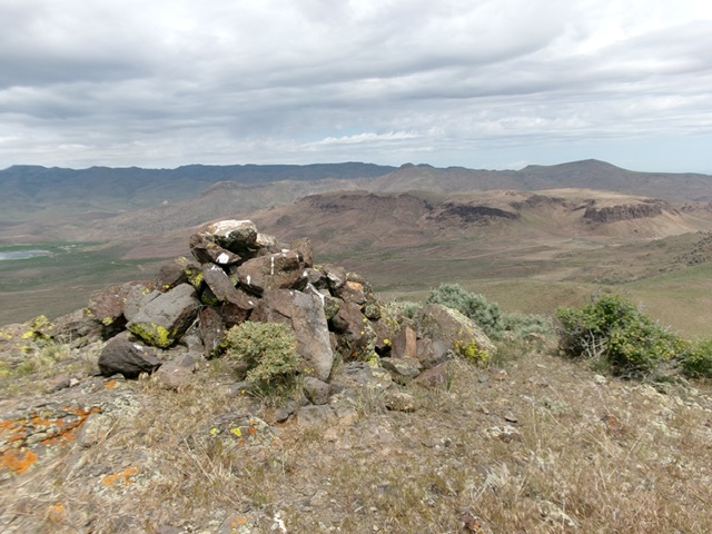
The large summit cairn atop Windy Point with Reynolds Peak in the distance. Livingston Douglas Photo
South Ridge, Class 2
The Descent
From the summit, follow the ridge crest south then southeast to the 4,820-foot connecting saddle with Peak 5165. The rock-and-scrub ridge presents no problems. This concludes the first leg of today’s 2-peak journey. Peak 5165 is up next.
Windy Point as viewed from the south. Livingston Douglas Photo
Additional Resources
Regions: Owyhee Mountains->SOUTHERN IDAHO
Mountain Range: Owyhee Mountains
Longitude: -116.69429 Latitude: 43.23939