A Google Maps search for Chimney Creek Road may or may not provide directions to reach this road from ID-20. There are multiple options depending upon whether you are coming from the east or the west on ID-20. The gravel roads that lead to the start of Chimney Creek Road are well maintained. There is a huge parking area for the Chimney Creek trailhead at the beginning of the Chimney Creek Road which is used primarily by snowmobilers in Winter. Turn left at the north end of the parking lot just past the outhouse.
The road quickly reaches a gate and private property. Although the signage is somewhat confusing, vehicles can use the road through the private property. You DO need to sign in before passing through the gate. Stay on the main road for 3.68 miles until you reach public lands. This road is well maintained.
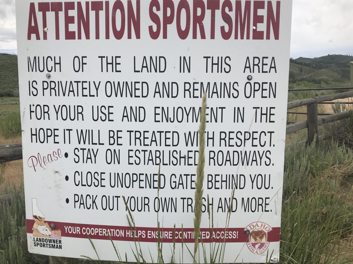
Please follow all of the rules posted on the sign.
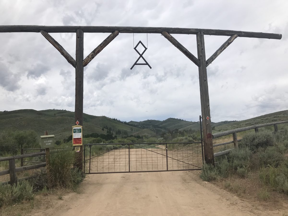
The gate at the beginning of Chimney Creek Road.
Signage at the gate. Please sign in and follow the rules.
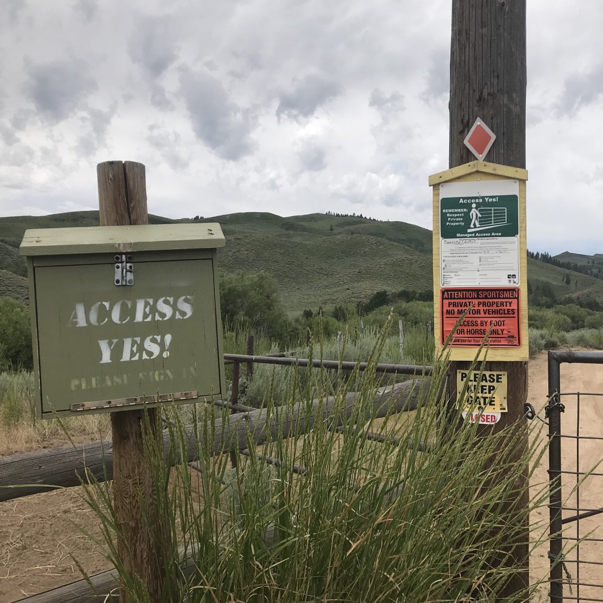
Signage at the gate.
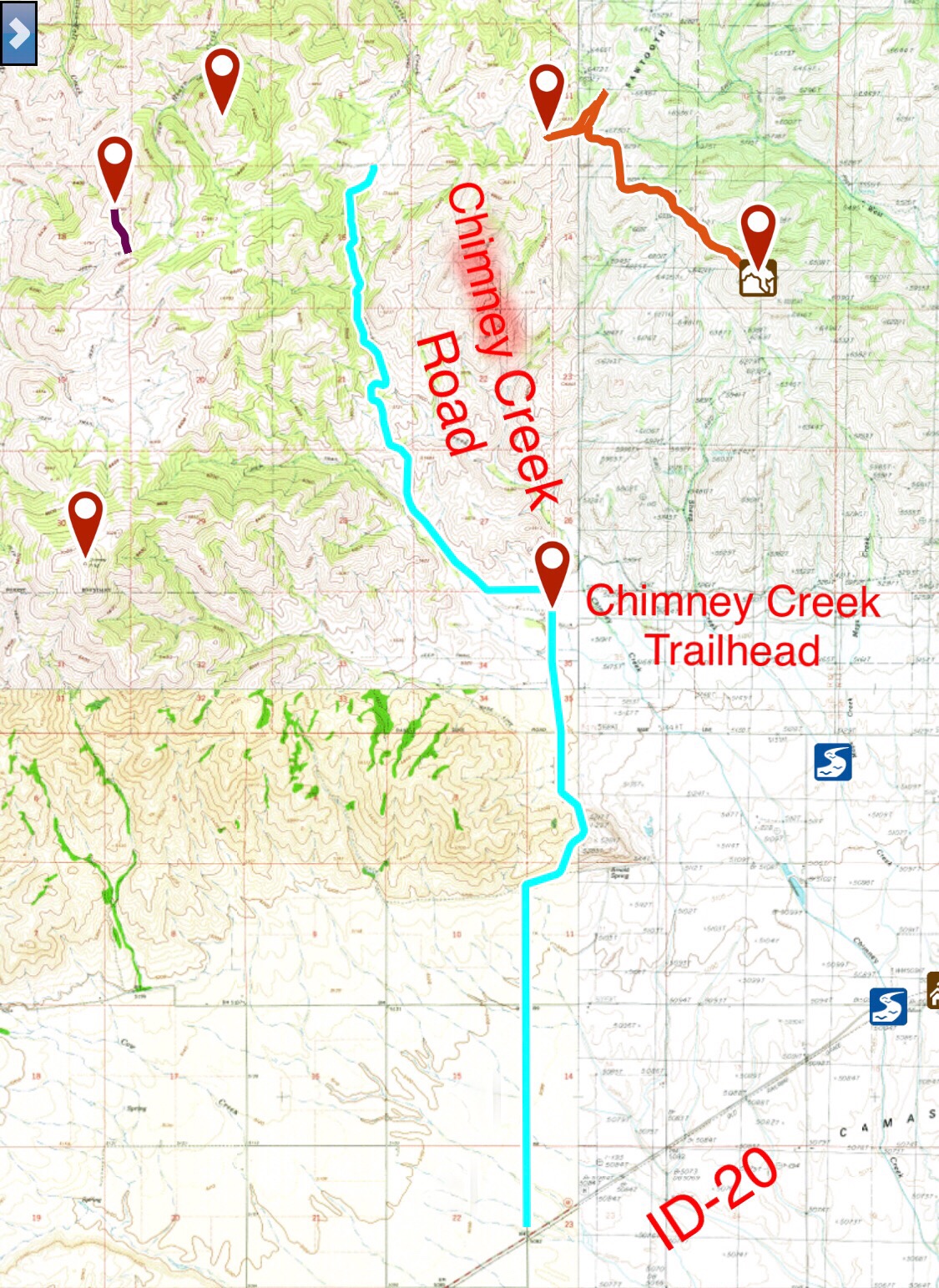
My GPS track from ID-20 to the Sawtooth National Forest boundary. My route covered 8.9 miles.
FS-484 Access
FS-484 begins at the point where Chimney Creek Road ends at the Forest Service boundary. In June 2019 the road was freshly graded and well maintained as it works its way northeast past Peak 6860 and a set of corrals. After the corrals, the road turns left and ends 9.5 miles from the Chimney Creek trailhead.
FS-007 Access
FS-007 runs generally west from the end of the Chimney Creek Road. FS-007 is well maintained for the first mile but eventually becomes rougher after passing through a gate. There are many side roads to explore off this road. A Forest Service travel map will help you determine which roads are open to vehicles, ATVs and motorcycles.