BACK TO THE MAY MOUNTAIN MAIN PAGE
This page describes an approach to May Mountain from the east. It requires an overnight trip.
Drive the Hayden Creek Road to where a gate bars vehicle travel at Tobias Creek. Follow the road 2-3 miles to the Hayden Creek Trail, which crosses the creek and turns left off an old road at the top of the far bank. The trail disappears immediately in a meadow. Go to the far end to pick it up again. Follow the trail a few miles to a sign for the West Fork and Bray Creek and turn off onto that trail. This trail is only followable in bits and pieces all the way up the West Fork to a beautiful little lake at 9,100 feet–a great spot to camp.
From there, climb up to the East Ridge of May Mountain just west of Point 10044 and follow it west over 2 false summits to the summit high point. From the first false summit, the ridge becomes much narrower and more exposed. Stay on the good rock atop the ridge crest and scramble over Class 3+ terrain to the summit.
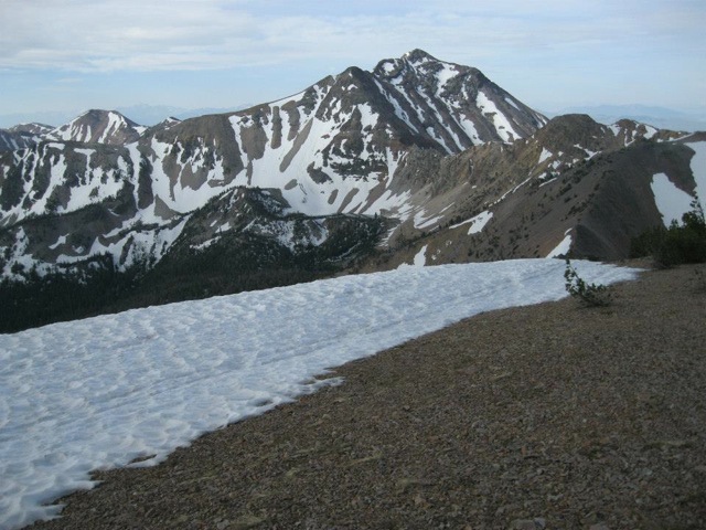
May Mountain as viewed from the Lemhi Crest. Dan Saxton Photo
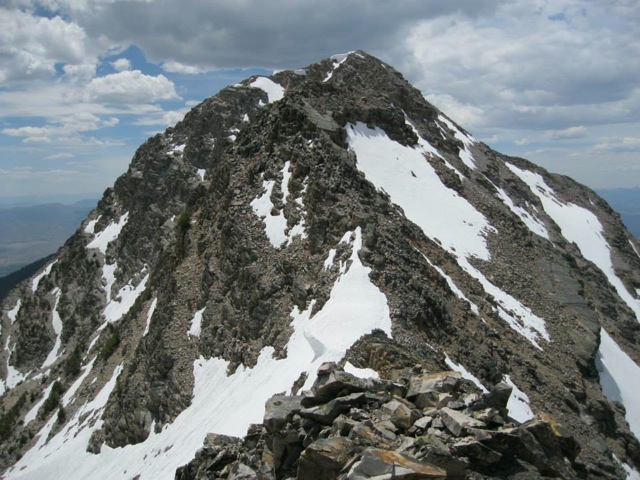
The Upper East Ridge of May Mountain. Dan Saxton Photo
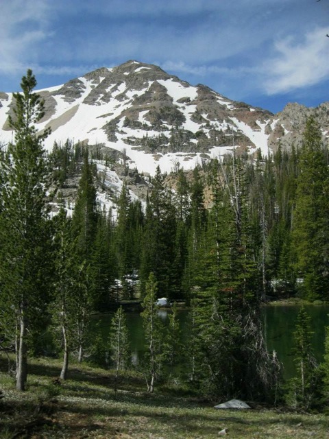
May Mountain as viewed from the lake at 9,100 feet. Dan Saxton Photo
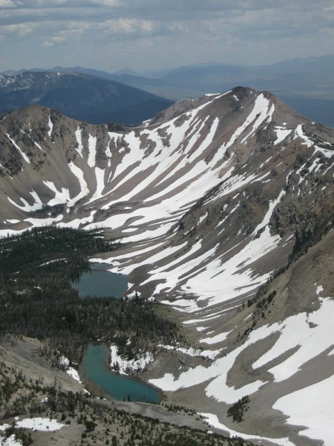
Looking down from May Mountain to the lakes at the head of Bray Creek. Dan Saxton Photo