Elevation: 6,492 ft
Prominence: 672
This peak is not in the book.
Yet another Idaho peak named Iron Mountain. This one actually has an old iron mine near its summit according to Ray Brooks. This peak is located on a ridgeline that parallels the Snake River on the western edge of the Hitt Mountains. The summit view includes the Wallowas, Big Lookout and the Elkhorn Mountains in Oregon, the Snake River Canyon on the border, nearby Sturgill Peak, the West Mountains and Boise Mountains in Idaho, and the nearby Monroe and McChord Buttes. USGS Monroe Butte
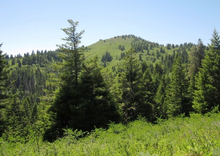
Iron Mountain as viewed from Monroe Butte.
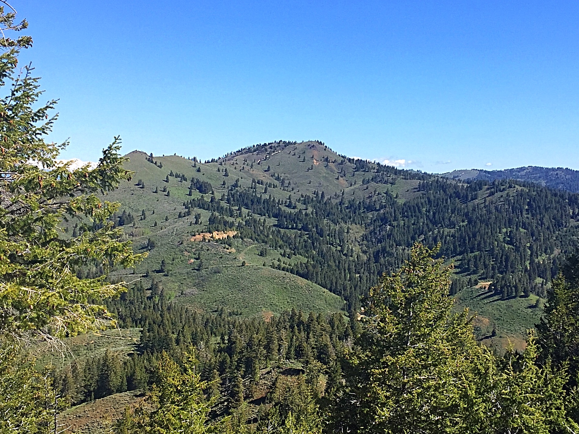
Iron Mountain. Ray Brooks Photo
Access
Drive US-95 10.0 miles north of Weiser and turn onto FS-600/Mann Creek Road. The road is paved to the Mann Creek Reservoir. From the reservoir, it is a good gravel road that follows Mann Creek NNW into the forest. Continue until you reach the junction with FS-025. Turn left, cross Mann Creek on a bridge, and follow this improved road up Adams Creek until it turns back on itself and climbs north out of the drainage. From this point, you have two options. You can continue on FS-025 and follow it to its junction with FS-010 or you can turn onto FS-164 and follow it uphill to a ridge top. Both options will bring you to a junction with FST-306.
Old Mining Road Route Class 1+
FST-306, although designated as a trail, is a fair road which is open to all modes of travel except full-sized vehicles. From either of the starting points described above, follow FST-306 until you reach a corner on the southeast side of the peak. At this point, you will see an overgrown road climbing northwest. This road is signed as “closed to motorized travel.” Hike up this road. Just after a small dig on your right, the road splits. Take the right fork and you will soon reach the summit.
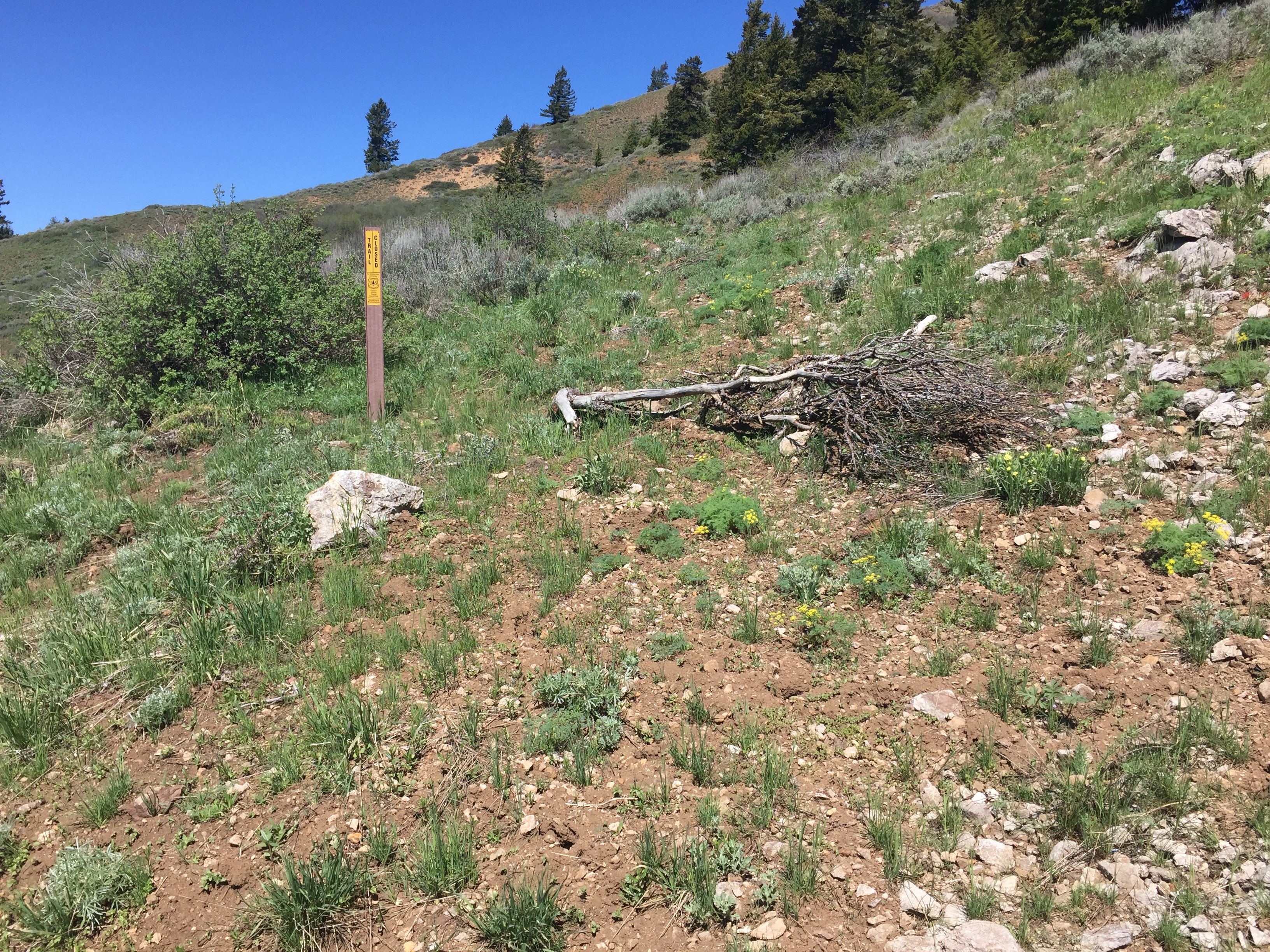
The old mining road is overgrown. The start is marked by the sign shown in this photo. Once on the road, it is easy to follow.
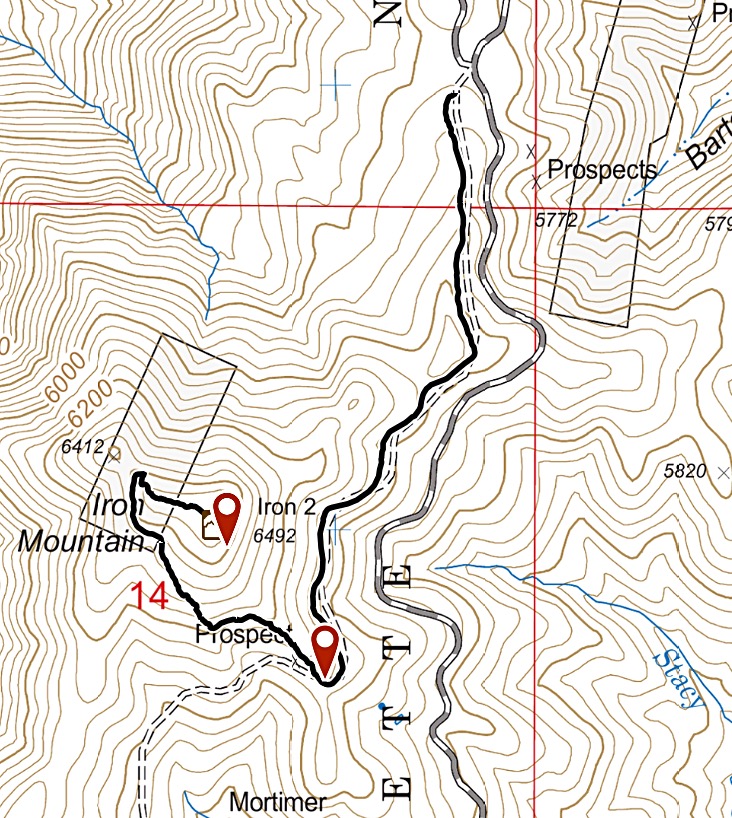
My GPS track for Iron Mountain. The ATV track we followed from the north to the first waypoint was passable but is not designated for 4WD vehicles.
Other Routes
FS-025 provides exceptionally good road access across the peak’s East Slopes. Theoretically, you can climb the peak from FS-025 any place along the peak’s East Slopes. The one limiting factor is brush. Ray Brooks provided the following information:
I parked on the SE side of the mountain, followed a “put to bed” by the Forest Service road for a short distance west, then fought brush up a couple hundred or so vertical feet to an ATV track that paralleled the main road around the mountain. Since that track didn’t show on my map, I thought it might go up to the old mine. It stayed at the same or slightly lower elevation until the Northeast Ridge and then went down again. So I hiked the Northeast Ridge, which was brushy in spots, but wasn’t bad. I came down the Southwest Side of the mountain, which was much easier going, picked up the ATV track and then hiked down the “put to bed” road to my SUV.
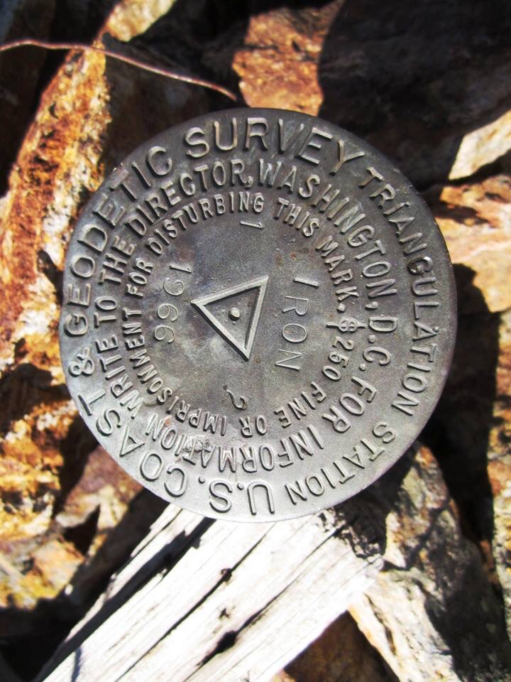
The survey marker on the summit. Ray Brooks Photo
Additional Resources
Regions: Cuddy and Hitt Mountains->WESTERN IDAHO
Mountain Range: Cuddy and Hitt Mountains
Year Climbed: 2017
Longitude: -117.02849 Latitude: 44.55039