Elevation: 7,081 ft
Prominence: 621
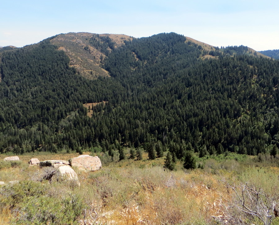
Peak 7081 is located south of Pocatello, approximately 1.8 miles ESE of Rock Knoll in the Bannock Range. Peak 7081 is most easily accessed from the east. USGS Pocatello South
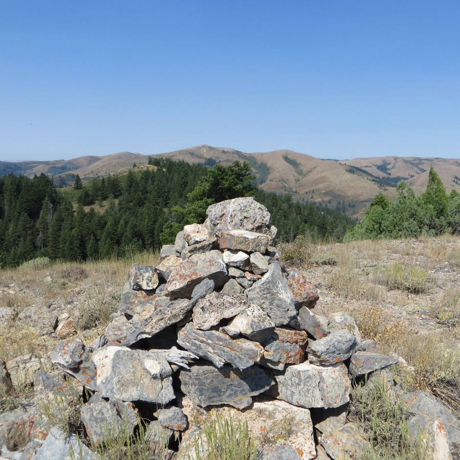
The summit cairn atop Peak 7081 with Rock Knoll in the background. Steve Mandella Photo
Peak 7081 is the highest point of the peak identified as Gibson Mountain. The map makers placed the name on the lower-elevation East Summit (6,775 feet) which only has 67 feet of prominence. Both summits are located off the same trail, and most people hike past the East Summit to the True Summit unaware that there are 2 summits.
From the Bannock Highway in Pocatello, take Gibson Jack Road west to where it ends at a large parking area. Use Gibson Jack Trail/FST-014 to access the Upper Gibson Jack Trail/FST-015. Follow FST-015 to approximately 6,938 feet and turn north, leaving the trail to reach the summit cairn. Class 2.
The GPS track shows a more sporty final approach. Follow the trail to approximately 6,270 feet, where a faint trail to the west leaves the main trail and ascends a slope. Climb this short, steep slope to the ridge and follow the ridge to the south, enjoying views to the west and a little exposure. Summit both Peak 7081 and nearby Rock Knoll via a loop route that uses Peak 7081’s ascent route and the Rock Knoll’s Gibson Jack – East Ridge Route for the descent. Please note that the GPS track shows an older approach from the parking lot to FST-015 that is no longer used.
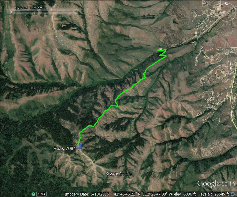
Gibson Mountain. Margo Mandella GPS track.
Additional Resources
Regions: Bannock Range->SOUTHERN IDAHO
Mountain Range: Bannock Range
Longitude: -112.4596 Latitude: 42.76729