Elevation: 4,137 ft
Prominence: 547

This peak is not in the book.
Riley Butte is in the Weiser River Basin (east of Crane Creek Reservoir) in the western foothills of the West Mountains. The summit is on public land managed by the Idaho Department of Lands. Riley Butte is located about three miles north of Tennison Ridge. While not a difficult summit to surmount, it does takes some back road driving to access.
Google Maps gets you to Riley Butte Road on the East Side of the peak. Heading south on this road takes you through a cattle guard due east of the peak. Once on the South Side of the cattle guard, you are on public land and you can walk up to the summit from anywhere along the road. The road is passable for 2WD vehicles when dry. There are great views of the Hitt, Cuddy and West Mountains from the top. Class 1-2. USGS Riley Butte
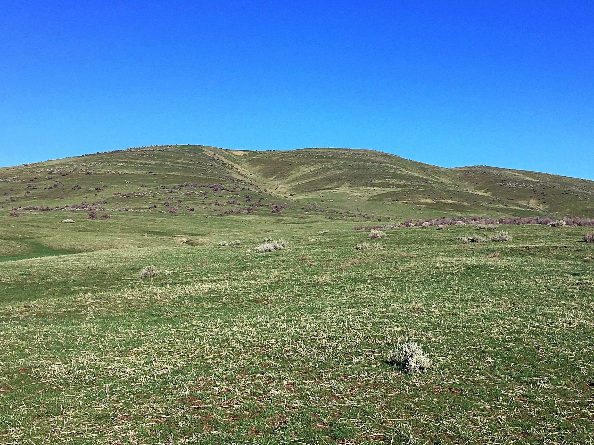
Riley Butte as viewed from Riley Butte Road.
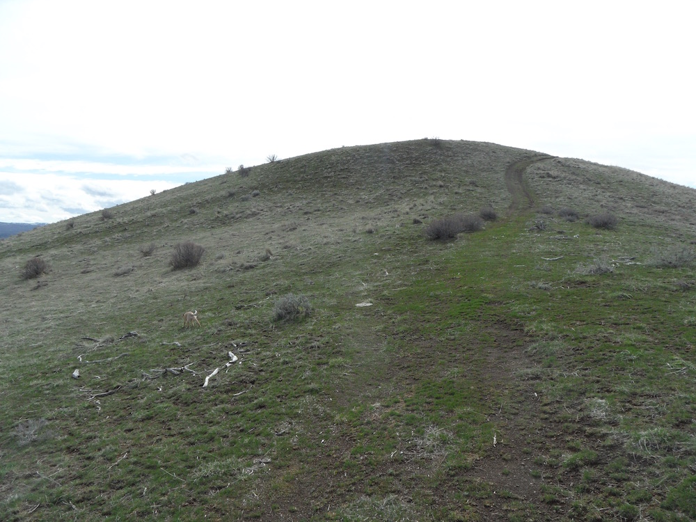
The summit ridge on Riley Butte. John Platt Photo
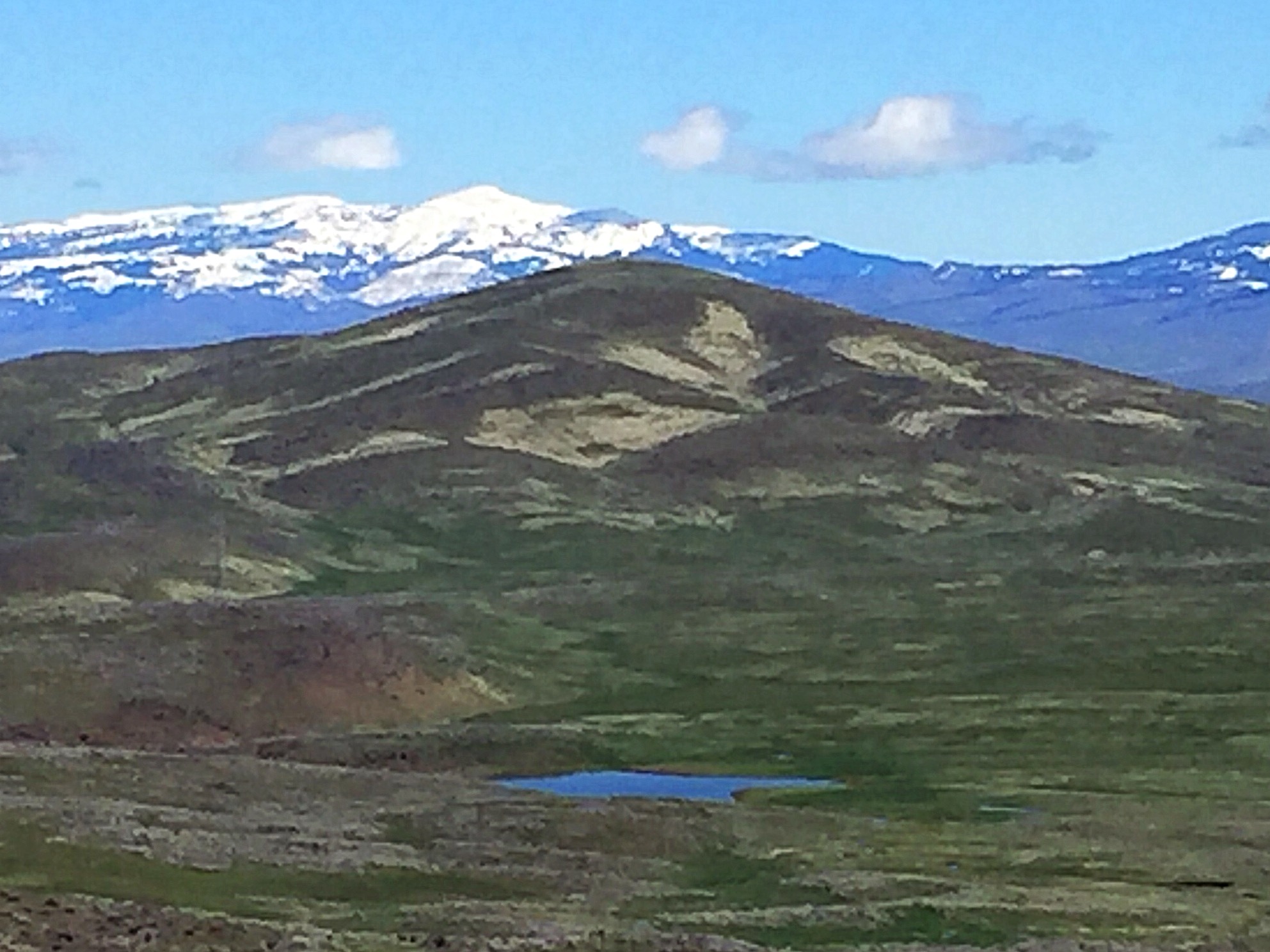
Riley Butte sits at the very end of Willow Ridge.
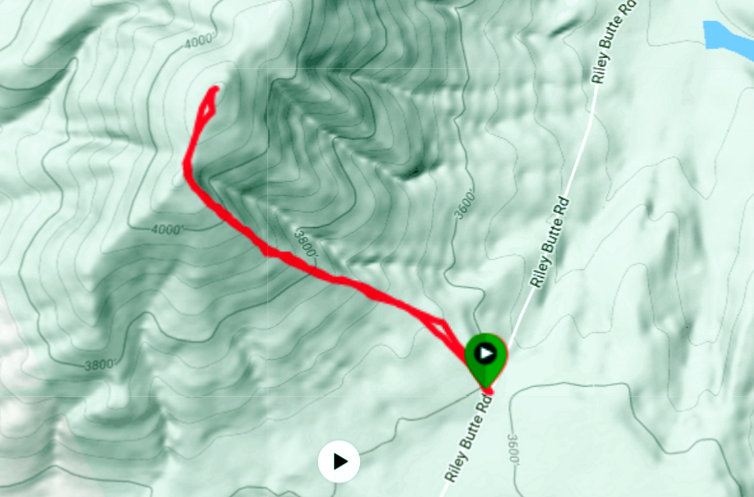
My GPS track.
Additional Resources
Regions: West Mountains->WESTERN IDAHO
Mountain Range: West Mountains
Year Climbed: 2017
Longitude: -116.46789 Latitude: 44.37019