Elevation: 4,070 ft
Prominence: 460
This peak is not in the book. Published May 2017
Tennison Ridge is in the Weiser River Basin (southeast of Crane Creek Reservoir) in the western foothills of the West Mountains. The summit is a little more than 3.4 miles south of Riley Butte. Tennison Ridge lies on public land managed by the BLM. Google Maps gets you to the base of this remote summit. Search for either Riley Butte or Riley Butte Road. This road traverses past the peak’s East Side.
This is a 2WD road when dry. Follow the road south until you are due east of the peak. You will find a 4WD road leaving the Riley Butte Road at this point. Follow the road through a gate and on to the top. There are great views of the Hitt, Cuddy and West Mountains from the top. The summit hike covers less than a mile (one way) with just under 500 feet of elevation gain. Class 1. USGS Riley Butte
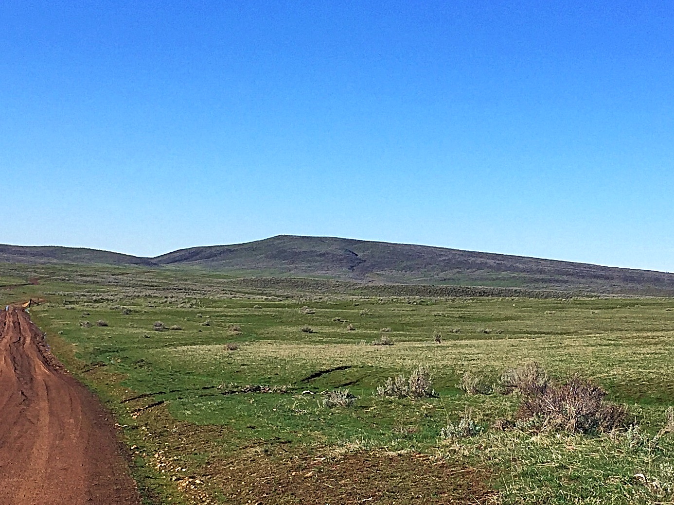
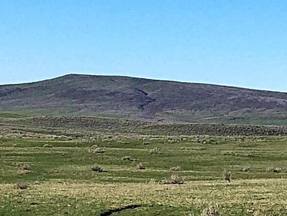
Tennison Ridge as viewed from the north.
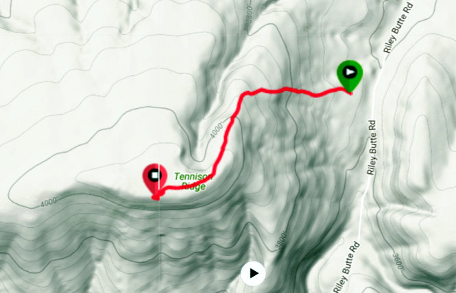
My GPS track.
Additional Resources
Regions: West Mountains->WESTERN IDAHO
Mountain Range: West Mountains
Year Climbed: 2017
Longitude: -116.49709 Latitude: 44.32569