Elevation: 9,278 ft
Prominence: 938
This peak is not in the book.
Sheldon Peak is an attractive summit located along the Sleeping Deer Mountain Road just north of Fly Creek Point. See the Sleeping Deer Mountain page for information on road access. Climb the peak via its broad West Ridge/Face from the point where the road leaves the saddle between Sheldon Peak and Peak 8874. Traverse up toward the top of the West Ridge until you can contour east to the saddle on the ridge just below the face.
Sections of the route burned in the past, so you will find log-hopping skills helpful. Hike through the saddle and climb up the steep talus face. I rate the West Face a Class 2T. The “T” is for talus, where you will find your hands are necessary for balance. There is roughly 300 feet of bad, loose rock. The rest is just bad. USGS Sheldon Peak

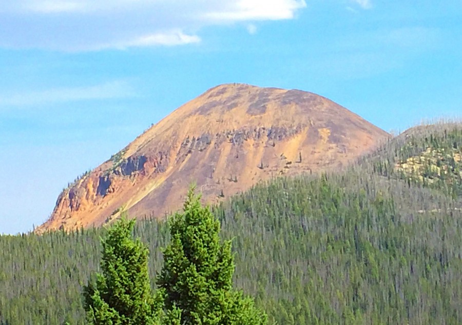
Sheldon Peak as viewed from the northwest. The West Ridge/Face is on the right skyline.
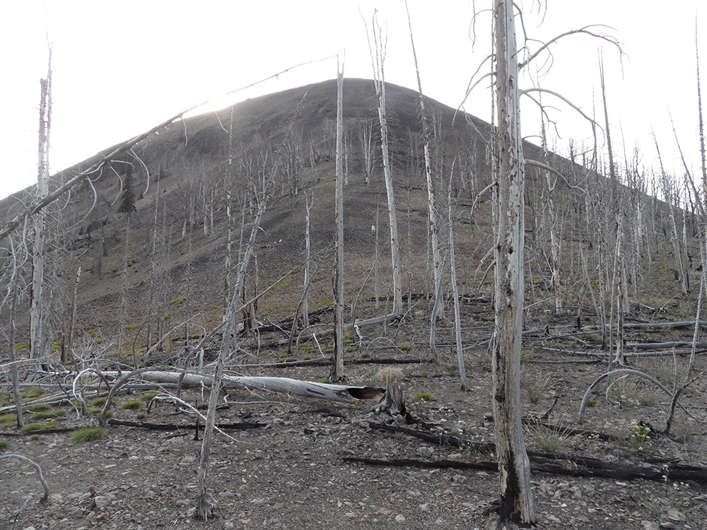
The West Ridge/Face as viewed from the saddle. john Platt Photo
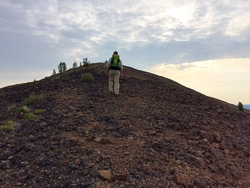
The West Face of Sheldon Peak.
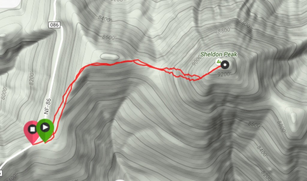
My GPS track for Sheldon Peak.
Additional Resources
Regions: Eastern Salmon River Mountains->Salmon River Mountains->Southeast Corner Peaks->WESTERN IDAHO
Mountain Range: Eastern Salmon River Mountains
Year Climbed: 2015
Longitude: -114.56189 Latitude: 44.69939