Elevation: 8,984 ft
Prominence: 484
This peak is not in the book. The Sleeping Deer Mountain Road provides high access to many Eastern Salmon River Mountains peaks. See the Sleeping Deer Mountain page for information on the road.
A fire lookout was placed on the summit of Fly Creek Point in 1935 and was still occasionally used well into the 1960s. The lookout was reportedly burned by vandals in 1993. As you might expect, the views from the summit are massive. The access road crosses the peak’s South Slopes at 8,600 feet. The old unmaintained road to the lookout makes an ascent to the summit an easy Class 1 walk. This is an easy prize for peakbaggers, if you survive the drive. USGS Sheldon Peak
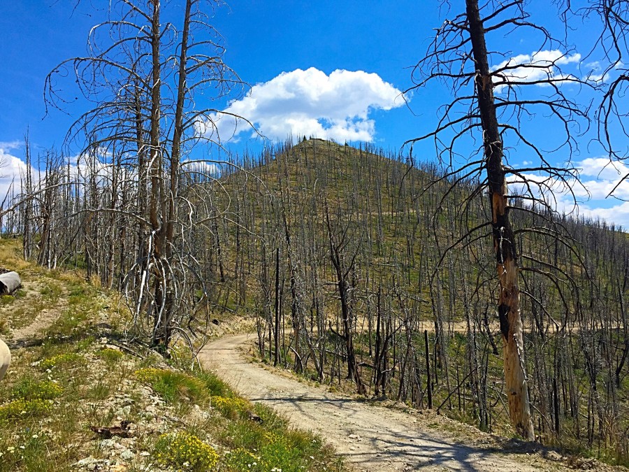
The South Side of Fly Creek Point as viewed from Sleeping Deer Mountain Road. The area was devastated by fire.

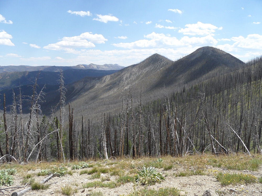
You can see why this peak was once a fire lookout site. The view covers a lot of ground. This shot is looking north.
Fly Creek Point as viewed from the northwest. John Platt Photo
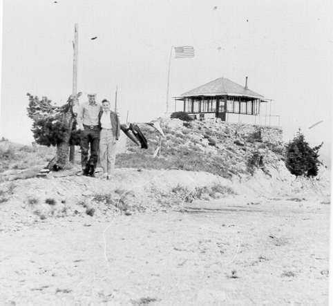
An undated photo from a time when the fire lookout was still in use. USFS Photo
Additional Resources
Regions: Eastern Salmon River Mountains->Salmon River Mountains->Southeast Corner Peaks->WESTERN IDAHO
Mountain Range: Eastern Salmon River Mountains
Year Climbed: 2015
Longitude: -114.56939 Latitude: 44.68119