Elevation: 11,910 ft
Prominence: 620
Climbing and access information for this peak is on Pages 275-276 of the book. Also see Wes Collin’s article on The Lost River Traverse in the Climbing History Section and The High Route to No Regret Peak by Pat McGrane. Finally, the West Ridge Route listed in the book is mislabeled. It should be called the East Ridge Route. Dyslexia strikes again. Based on LiDAR measurements the elevation is now 11,910 feet. Updated November 2024
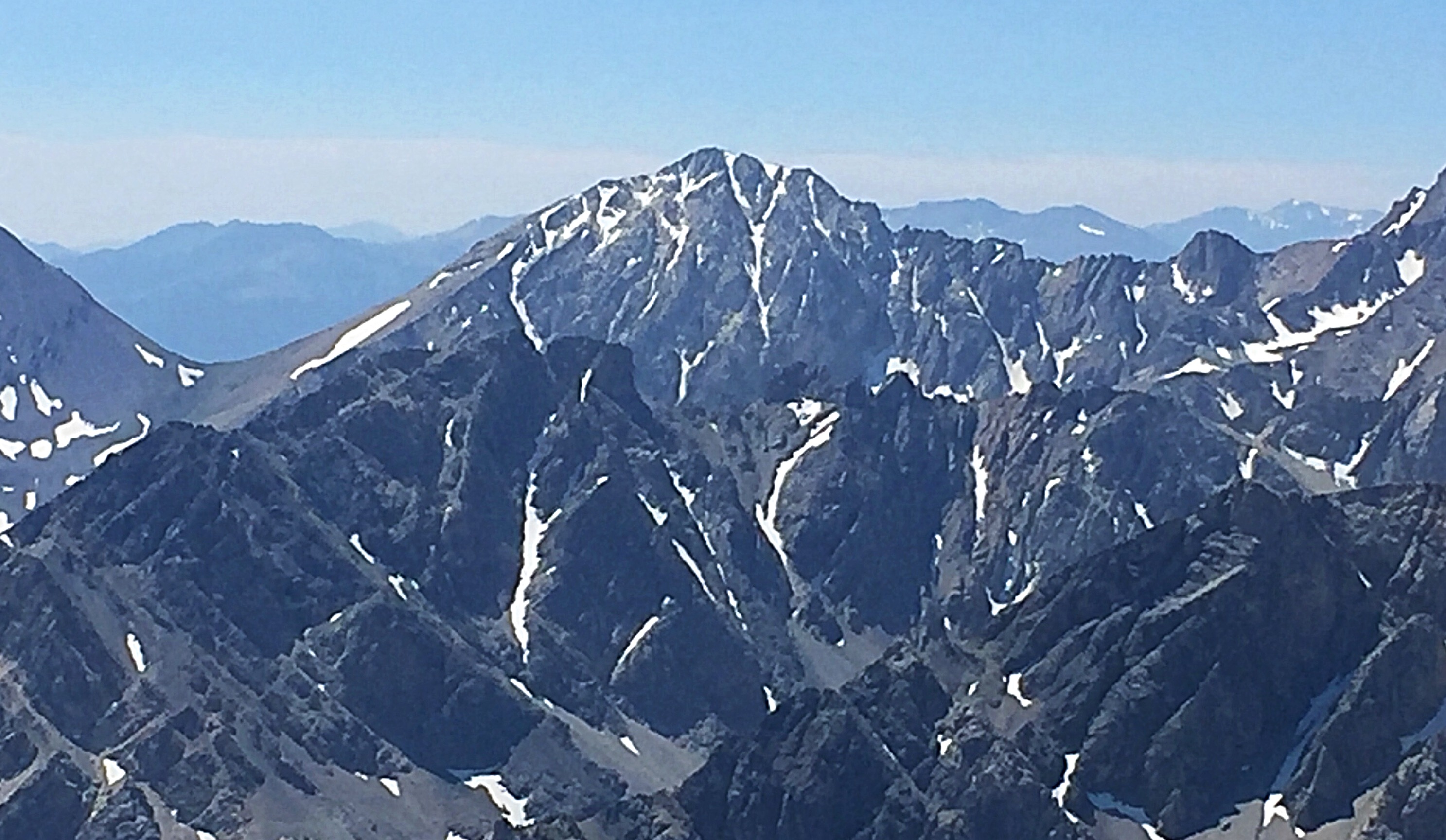
White Cap Peak sits between Peak 11967 and Leatherman Peak. It can be climbed from Leatherman Pass, Sawmill Gulch, or by a ridge traverse from Peak 11967. USGS Elkhorn Creek

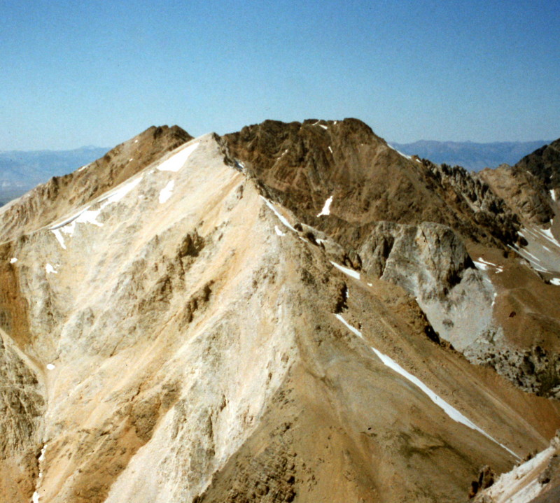
White Cap Peak as viewed from the summit of Peak 10199 to its south. Livingston Douglas Photo
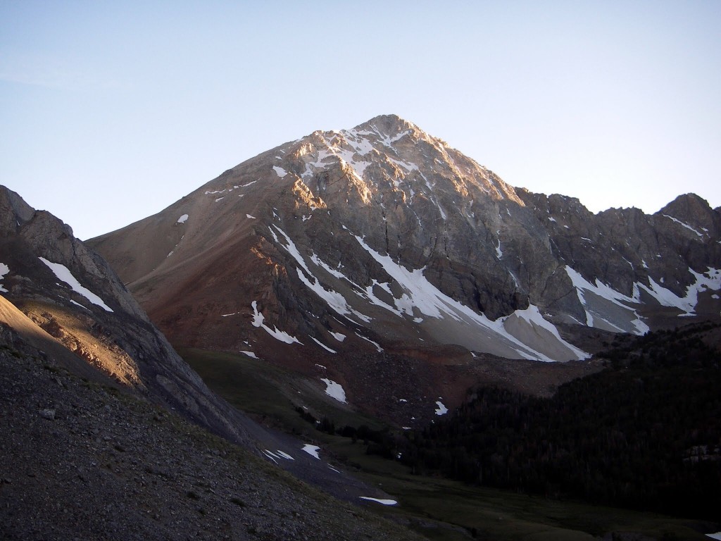
White Cap Peak as viewed from the upper reaches of the West Fork Pahsimeroi River en route to Leatherman Peak. Matt Durrant Photo
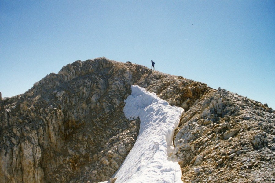
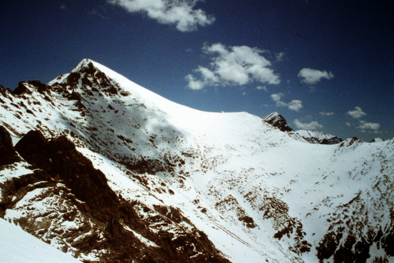
The summit of White Cap Peak.
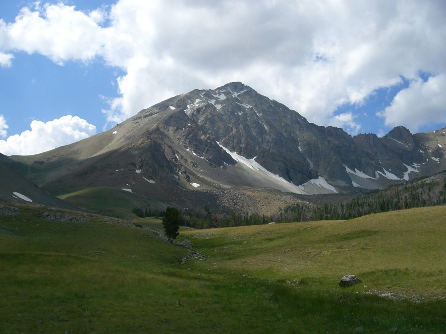
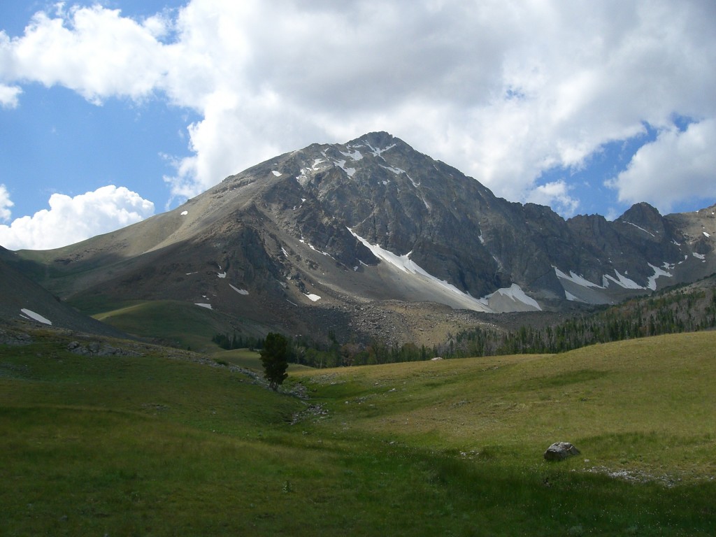
White Cap Peak as viewed from Upper Cedar Creek.
The North Face of White Cap Peak as viewed from Mountaineers Peak.
White Cap Peak as viewed from Bad Rock Peak.
White Cap Peak as viewed from the South Ridge of Peak 11967.
White Cap Peak. George Reinier Photo
Larry Prescott GPS Track and Photos
The following photos and GPS track are from Larry Prescott and Scott Gifford’s April 2015 climb. See the link to Larry’s trip report down the page.
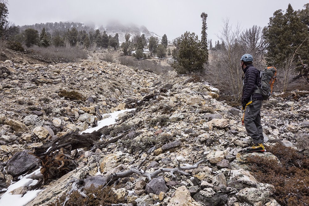
Climbing out of Sawmill Gulch.
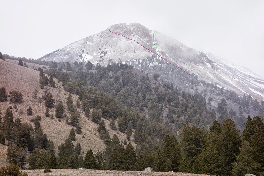
White Cap Mountain showing Larry Prescott’s routes up and down from Sawmill Gulch. Larry Prescott Photo
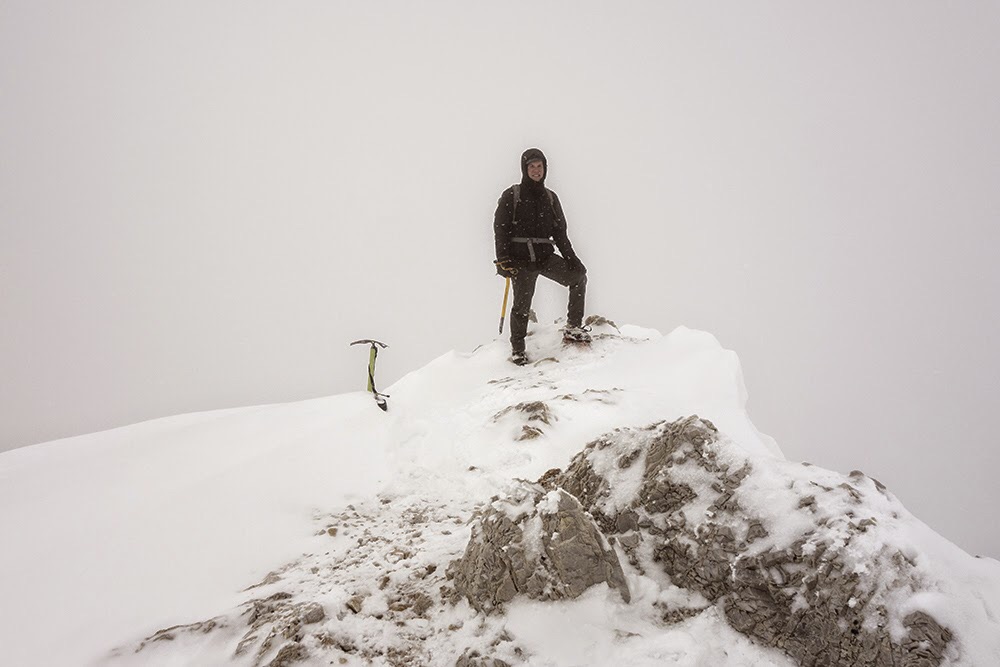
Scott Gifford on the summit of White Cap Peak. Larry Prescott Photo
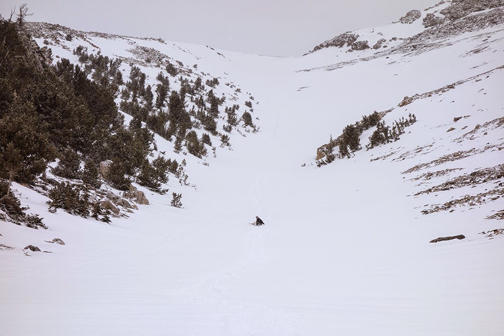
Sliding down the peak. Larry Prescott Photo
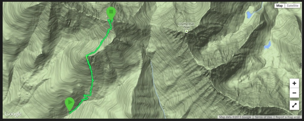
Larry Prescott’s GPS track for his April 2015 climb.
Additional Resources