Elevation: 7,048 ft
Prominence: 348
This peak is not in the book. Published July 2019
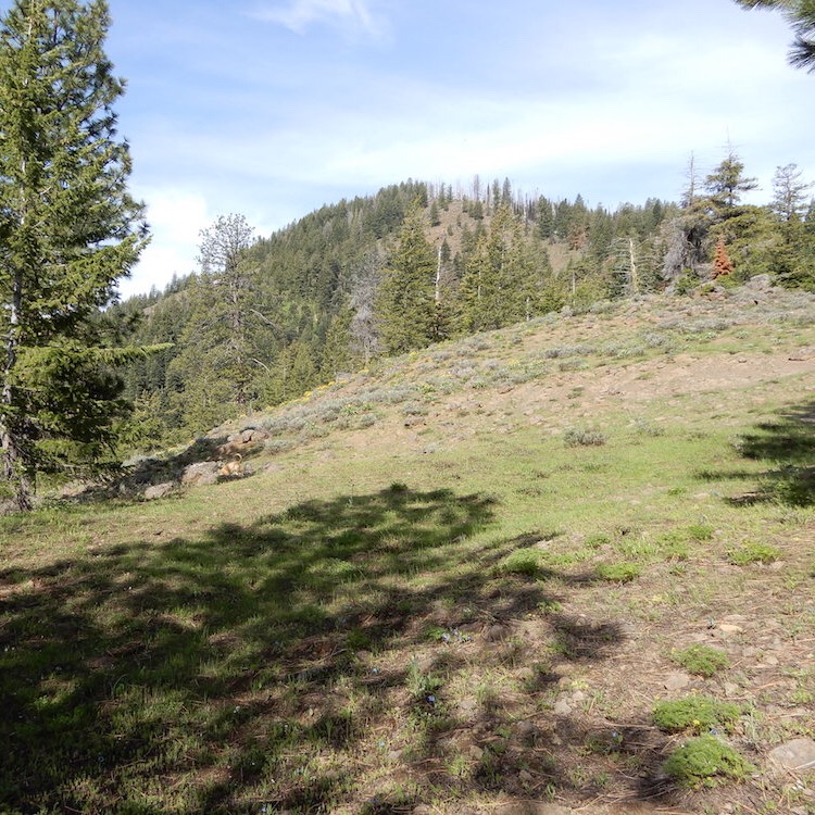
Ant Butte is located in the southeastern Seven Devil Mountains and southwest of Pollock Mountain. USGS Pollock Mountain
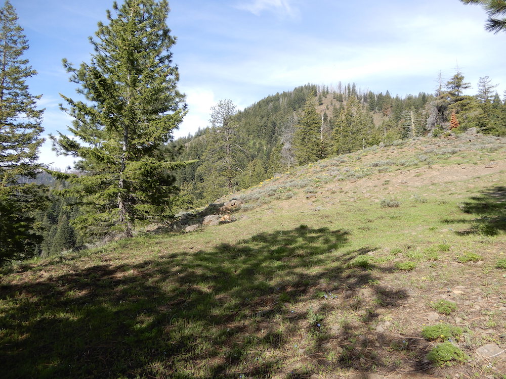
Ant Butte. John Platt Photo
Access
Turn west off from US-95 at Mile Marker 172 onto the Smokey Boulder Road, FS-074. This point is about 15 minutes north of New Meadows and 30-40 minutes south of Riggins on US-95. Continue west on Smokey Boulder Road for about 2.5 miles across the valley to the Payette National Forest Boundary. Keep right on FS-074 until you cross the Yantis Ditch. Just after the crossing turn left onto FS-079 which leads north to the Ant Basin 2 Trailhead. Note: the road splits near the end and FS-1254 leads to the Ant Basin 1 Trailhead. There are a lot of roads in this area, so you will need a good map to find your way. Use the link below to see John Platt’s trip report for an alternative approach.
Northwest Ridge, Class 2
From the trailhead, follow FST-324 to FST-178 and then FST-178 to a point northwest of Ant Butte. Leave the trail and hike southeast up the peak’s Northwest Ridge to the summit.
East Ridge, Class 2
Use the link below to John Platt’s trip report for this route.
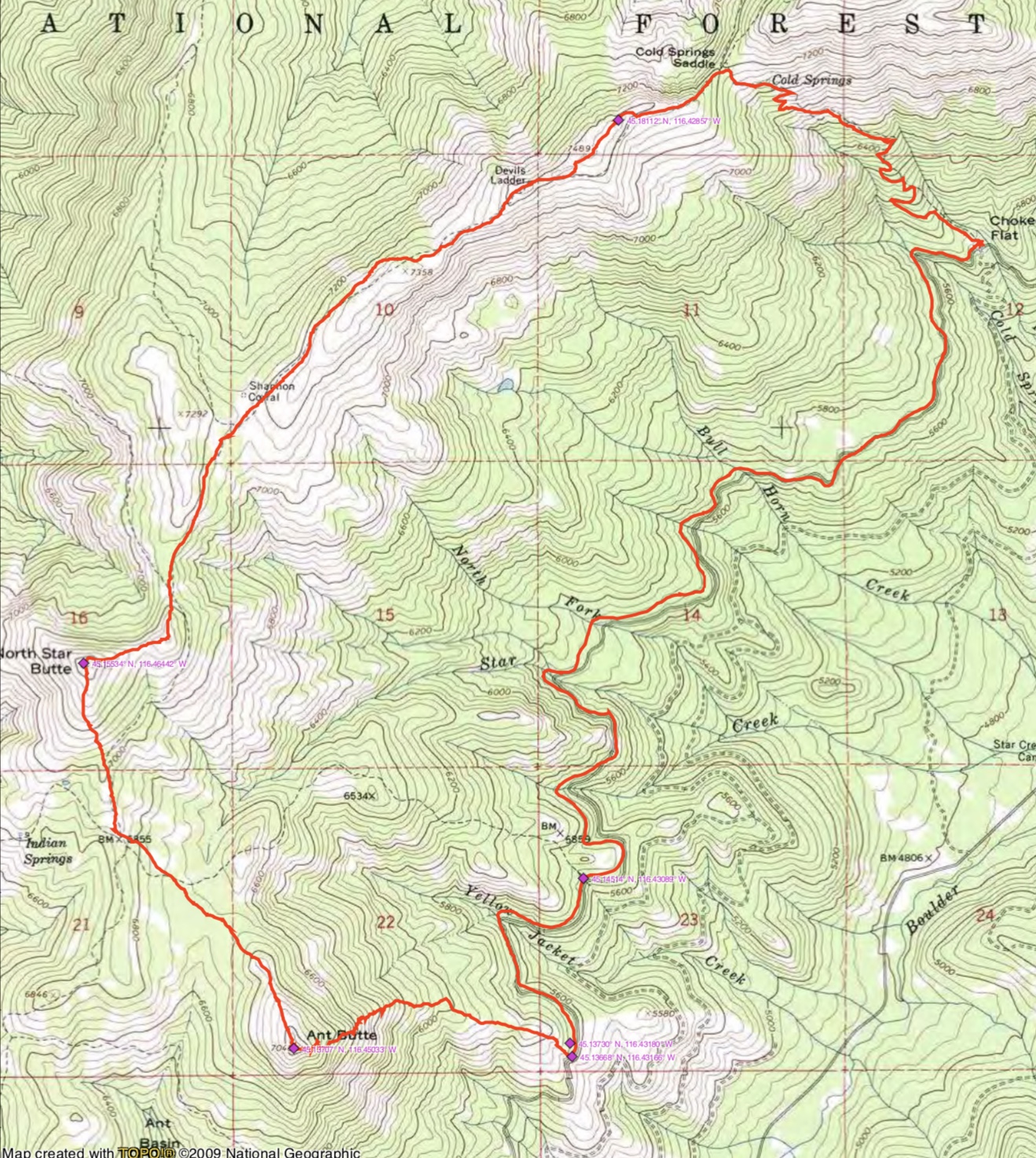
John Platt’s GPS track for Ant Butte, North Star Butte and Peak 7489.
Additional Resources
Regions: Seven Devils Mountains->WESTERN IDAHO
Mountain Range: Seven Devil Mountains
Longitude: -116.45009 Latitude: 45.13729