The Bannock Range is discussed in more detail on Pages 355-359 of the book.
The Bannock Range begins just west of Pocatello. Its main crest stretches southeast for 65 miles, ending near Weston, Idaho and the Utah border. Geographically, besides the main crest, this upland encompasses a group of small escarpments, the North Promontory Range, the Blue Springs Hills, the Samaria Mountains and the Malad Range, that are loosely tied to the Bannock crest. All Bannock Range peaks covered on this site can be found at this link: Bannock Range Peaks
A portion of the Bannock Range is located on the Shoshone-Bannock Fort Hall Reservation. Access is not open to the public. Livingston Douglas discusses the current status of Reservation land and the peaks found there in his article Reservation Peaks of the Northern Arbon Valley.
Livingston Douglas describes a four-peak Bannock Range traverse at this link: The Clifton Basin 4-Pack
Access Updates
—Updates/corrections to the text on Pages 356 and 358 of the book by Livingston Douglas (September 2018).
The Wright Creek National Recreation Trail does not cross Wakley Peak’s “Southwest Ridge”. It crosses the peak’s “South Ridge”. That correction makes the text on Page 356 consistent with the verbiage on Page 358. The Wright Creek Trail is only 3.5 miles to the Elkhorn Divide, not 5 miles as the book states. The trail heads in a W direction (WNW to be precise), not N as the book indicates.
The Wright Creek National Recreation Trail [(B)(2)(c)] is now FST-330, not FST-130. FST-330 is an ATV trail that is excellent for hiking, albeit a bit dusty. It climbs up to the Elkhorn Divide and crosses it at a small saddle at 8,260 feet, just north of Peak 8621. It does NOT cross above (and on the S side of) the saddle as the USGS topo map indicates.
The turnoff for the Wright Creek trailhead is located 0.6 miles before Summit Campground, not 0.2 miles as the book states.The Wright Creek trail does NOT go “north along the crest” as the book indicates. The trail actually drops down the west side of Elkhorn Mountain. Please consult the Caribou-Targhee NF Map/Westside Ranger District to see the location of FST-330.There is no formal trail on the South Ridge of Wakley Peak, but there are some segments of old jeep roads and cattle trails to help expedite your ascent of the South Ridge.
Page 356:
FST-133 is now FST-333; FST-134 is now FST-334. The ascent up the North Ridge from the trail crossing is 1.5 miles, not 1 mile (the text is contradictory on this mileage figure).
Page 358:
FST-133/Elkhorn Mountain Trail [(B)(2)(a)] is now FST-333/Summit Canyon Trail, as per the trailhead sign at the end of FSR-041.
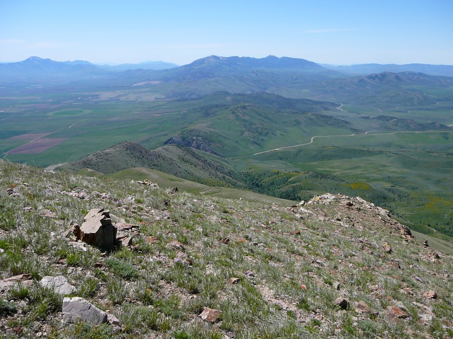
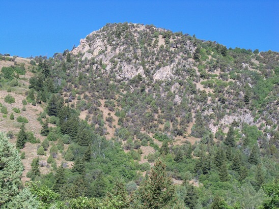
Views from the South Ridge of Old Tom Mountain are expansive in all directions.
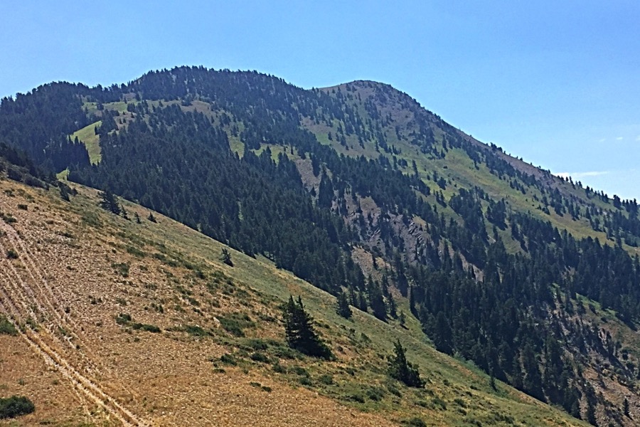
This view of Oxford Peak was taken on the descent. The West Ridge is on the right and the North Ridge is on the left.
The east view of Rock Knoll. Steve Mandella Photo
The East Face of New Point from the start of a hike in New Canyon (8/5/12). The nearby Oneida-Bannock County line is also the Great Basin-Columbia Divide. New Point is on the Great Basin side. Rick Baugher Photo
Regions: Bannock Range->SOUTHERN IDAHO
Mountain Range: Bannock Range