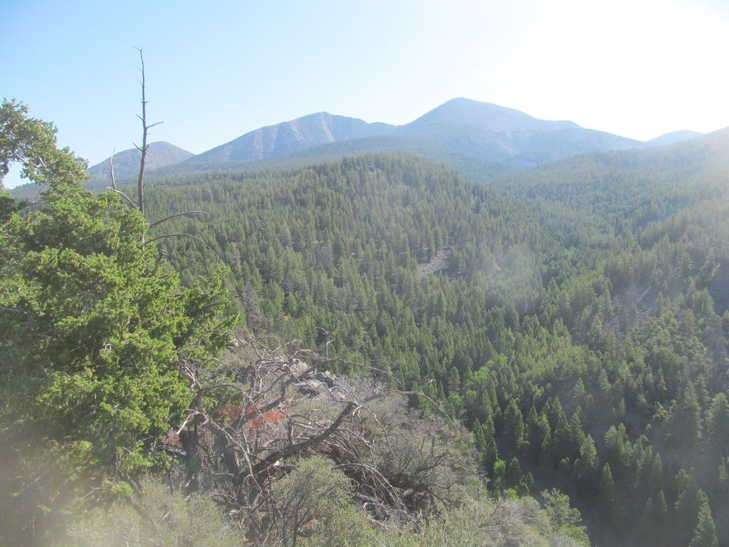
Elevation: 11,350 ft
Prominence: 2,517
Climbing and access information for this peak is on Pages 302-303 of the book. Victor Zhou and Livingston Douglas have provided updated route information which is set out below.
Big Creek Peak is one of the biggest prizes in the Northern Lemhi Range. It is the 58th- highest Idaho peak and is a popular destination because of its 2,517 feet of prominence. This page includes a number of photos and a route description by Victor Zhou for a route not included in the book. USGS Big Creek Peak
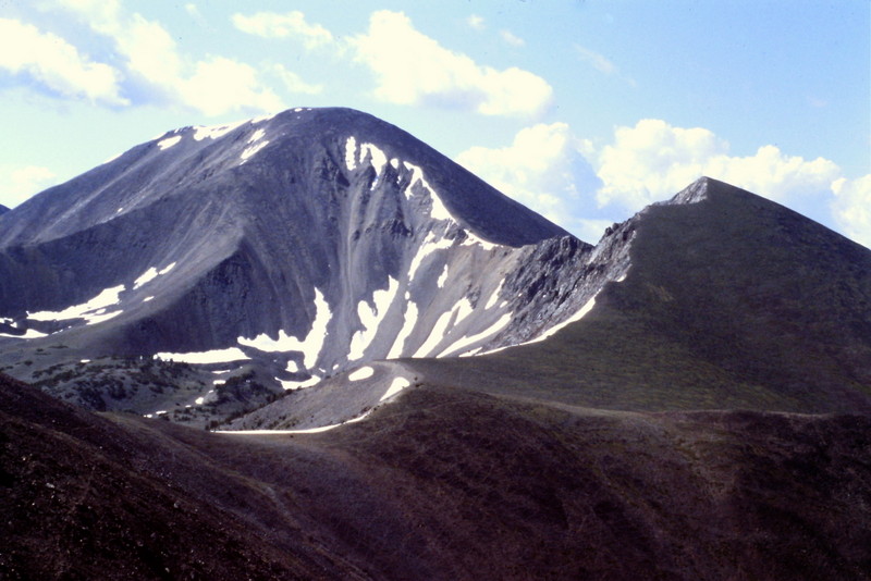
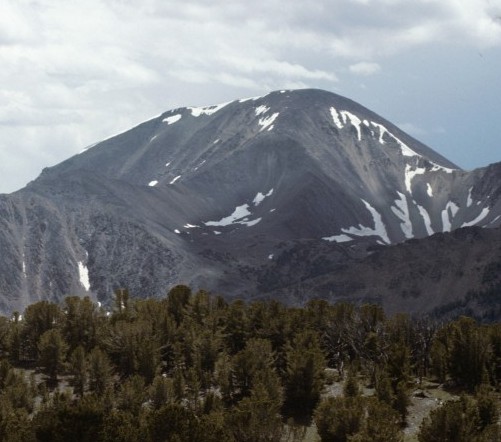
Big Creek Peak as viewed from the north near Yellow Pass. Note that the bump on the right is also a ranked summit. I walked right by that peak back in 1981 when I only concentrated on named peaks.
Big Creek Campground Route, Class 2 by Victor Zhou
Big Creek Peak can be climbed from the southwest via the Big Creek Campground. Most of the route is off trail but mostly easy travel, nothing harder than Class 2. A compass or GPS will be useful. Leave the trail at the campground and follow it a little over a mile, looking for a small side trail that comes in from the right. Take a sharp right on this small climber’s trail, which due to its angle may be easy to miss on your way up the main trail. The junction is near 44 27.242 N, 113 35.605 W.
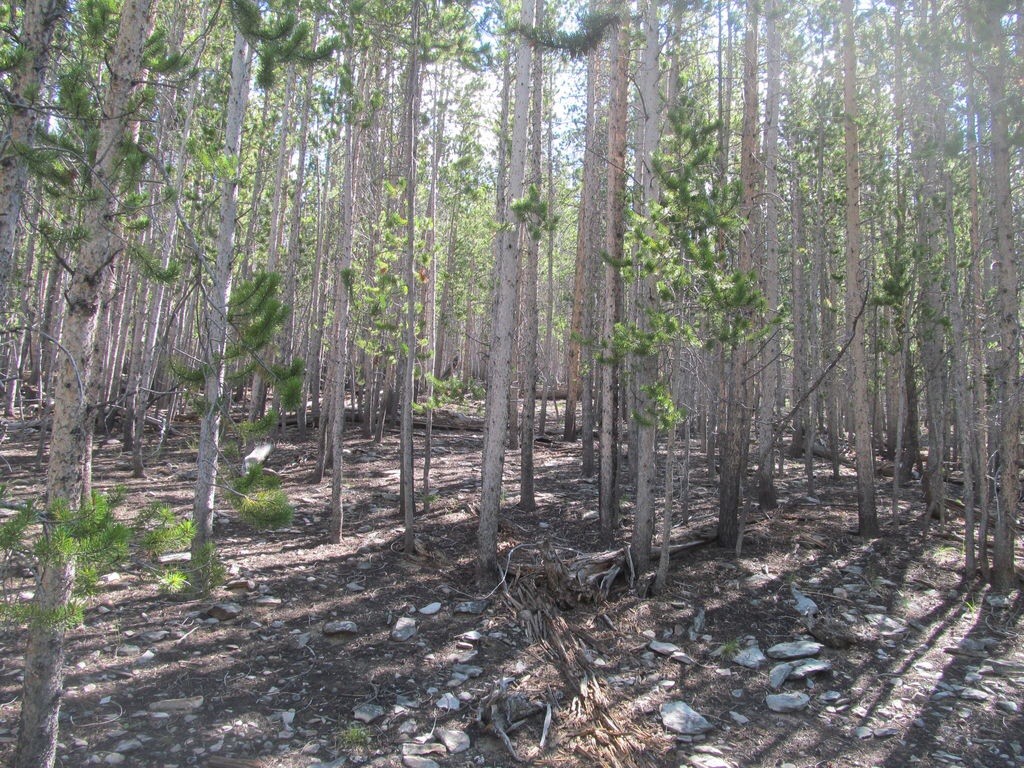
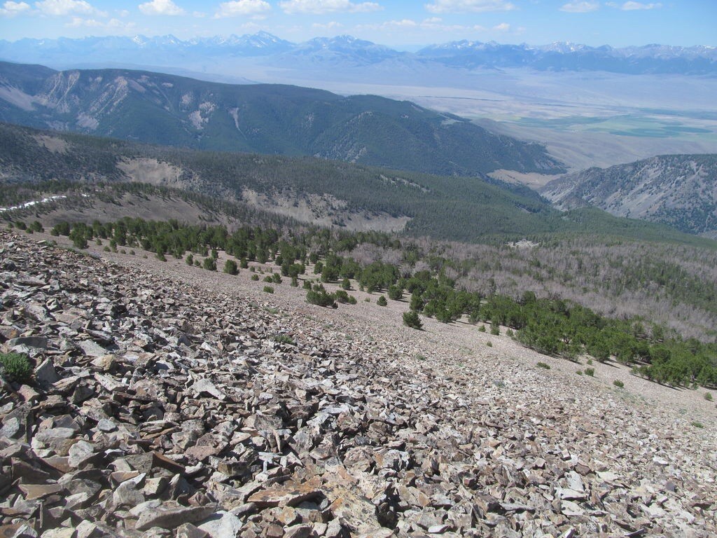
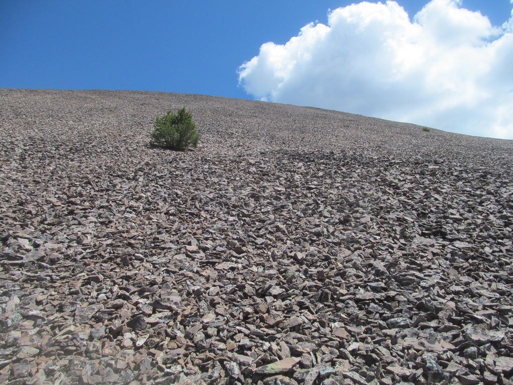
Your goal now is to reach a small saddle northeast of Point 7613 on the USGS topo map. The trail will take you maybe halfway there, but some cross-country travel may be required. From the saddle, travel generally in a northeast direction to the summit, eventually cresting timberline to ascend basic, mostly stable talus for the last 1,000 vertical feet. Try to stay high on along this forested ridge most of the way, as venturing below it may increase your chances of encountering areas of deadfall. Round-trip stats: 9.5-10.0 miles with about 4,700 feet of elevation gain.
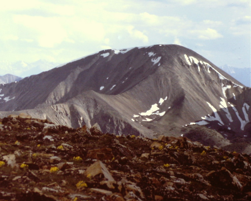
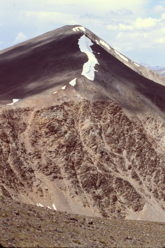
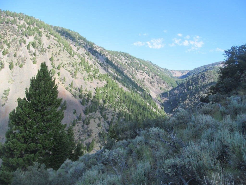
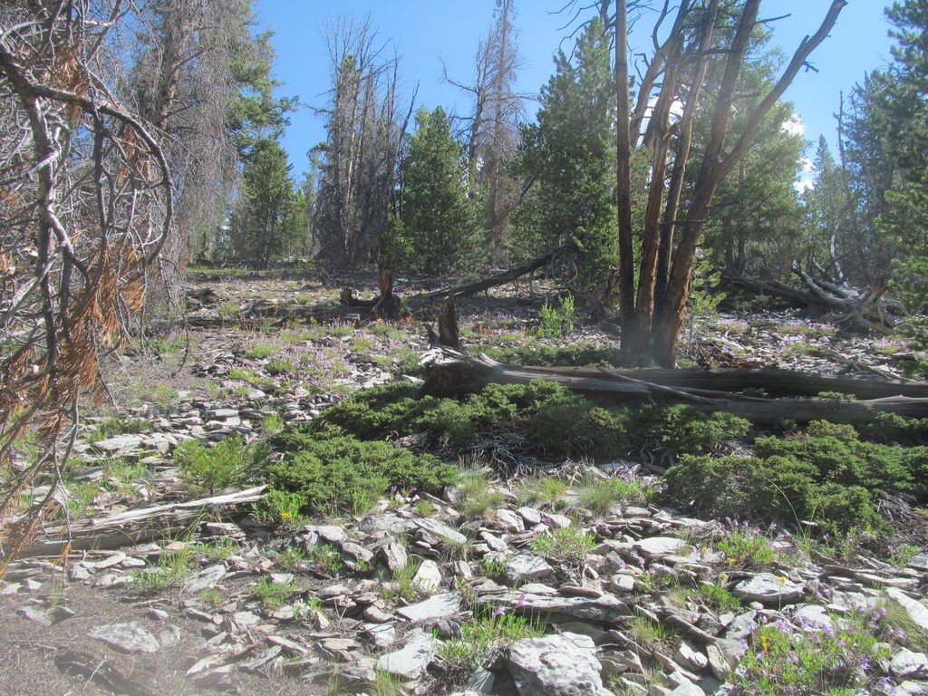
Victor’s route photos follow.
West Ridge Route, Class 2 by Livingston Douglas
Access
FST-075/North Fork Big Creek Trail [(C)(4)(a) on Page 317]
The Climb
North Fork Big Creek is a powerful, large creek. Unfortunately, you will have to ford it twice to complete this route. I found a large log about 150-200 yards upstream to complete the first fording without getting my feet wet. But the second ford required me to put on my sandals and get in the creek. The North Fork Big Creek Trail is a poorly maintained trail (that begins as an old jeep road), does NOT have foot bridges across the creek (as some maps suggest it does), is rocky, has blowdown and tree branches across the trail, and is muddy in some areas. I do not recommend this trail or this route. It’s about as pathetic as the Big Creek Campground at the trailhead.
Hike north on the North Fork Big Creek Trail for about three miles to a feeder stream on the east side of the creek at 7,080 feet. Leave the trail here and bushwhack up the south side of the stream drainage through a steep forest (some areas of blowdown here) to reach a shoulder at 7,800 feet. Follow this shoulder SSE to 8,200 to gain the West Ridge. Follow the ill-defined ridge east to treeline. Scramble east on reasonably stable talus to reach the summit of Big Creek Peak. The summit has expansive views as well as a silver USGS BM in a ground boulder.
Southeast Ridge, Class 2 by Livingston Douglas
The Descent
I descended this route as part of a traverse from Big Creek Peak to Flatiron Mountain. So my description begins on the summit of Big Creek Peak. From the summit, follow the ridge southeast on broken rock (goat trails help here) to reach the narrow, rocky 10,500′ saddle connecting Big Creek Peak to Flatiron Mountain. This ridge descent is a straightforward endeavor and takes only 20 minutes.
Additional Resources
