These mountains are located east of Idaho Falls and north of the Snake River. Although designated as two separate ranges by the USGS map makers, the Big Hole and Snake River ranges are physically and geologically the same group of mountains.
These mountains form a tangled web of ridges, streams, aspen thickets and meadows that rise out of the Snake River Plain. They gradually gain elevation from west to east. Piney Peak (9,019 feet) is the highest point in the Big Hole group. Mount Baird (10,042 feet) is the highest point in the Snake River Range.
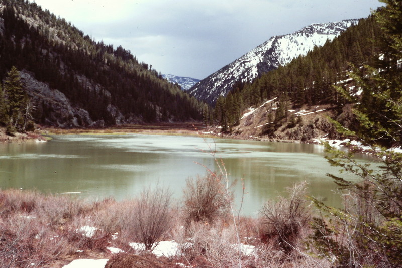
Lower Palisades Lake is the largest lake in the range.
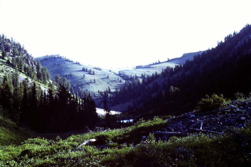
The Snake River Range is brushy in its lower stretches but the vegetation thins out the higher you go.
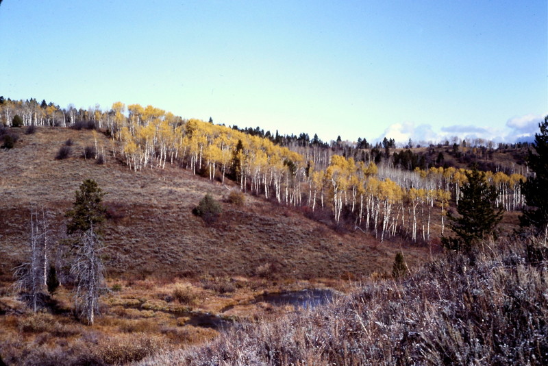
The range has large stands of aspens.
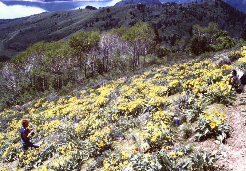
Wildflowers dominate the open ridges in early Summer.
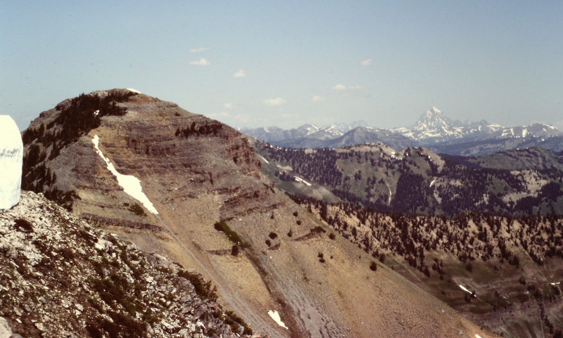
Mount Baird and its bigger Teton neighbors.
![The Pine Creek Summit area [(B)(2)] offers an excellent jumping off for backcountry skiing in both ranges when safe snow conditions exist.](https://www.idahoaclimbingguide.com/wp-content/uploads/PICT000229.jpg)
The Pine Creek Summit area [(B)(2)] offers an excellent jumping-off point for backcountry skiing in both ranges when safe snow conditions exist.
Both ranges have thick, mixed vegetation at lower elevations which can make cross-country approaches problematic.
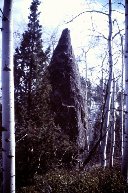
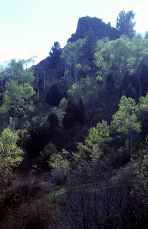
I spotted this stone tepee in a Big Hole Mountain canyon off the Snake River.
Mountain Range: Big Hole and Snake River Mountains
Photos: