Elevation: 7,580 ft
Prominence: 280
This peak is not in the book. Published January 2023
Bird Benchmark is the northernmost unranked summit in the Black Pine Mountains. It is located on the main Black Pine Ridge Crest that runs from north to south. This is the second leg of a 2-peak journey that includes Peak 7734 and Bird Benchmark (7,580 feet). This adventure covers 9.0 miles with 3,375 feet of elevation gain round trip. USGS Sandrock Canyon
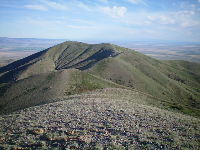
Bird Benchmark as viewed from the southeast. The summit is left of center. Livingston Douglas Photo
Access
Same as for Peak 7734. This is the final leg of a 2-peak journey that begins at the top of Mill Fork Road.
Southeast Ridge, Class 2
The Climb
From the 7,300-foot connecting saddle with Peak 7734, scramble north up the ridge crest to Point 7494. Descend north to a small saddle then continue northwest up to Point 7558. Descend west to a minor saddle and continue west to the summit of Bird Benchmark. The ridge terrain is short scrub on a broken rock base with a few minor rocky ridge outcrops to skirt around. The summit of Bird Benchmark has a USGS benchmark but had no summit cairn, so I built one. Return back to Peak 7734 and descend its east ridge to return to your parked vehicle at the top of Mill Fork Road.
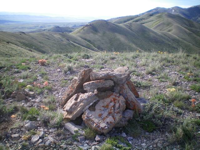
The newly-built summit cairn atop Bird Benchmark with the undulating connecting ridge (center) to Peak 7734 (well right of center) in the background. Livingston Douglas Photo
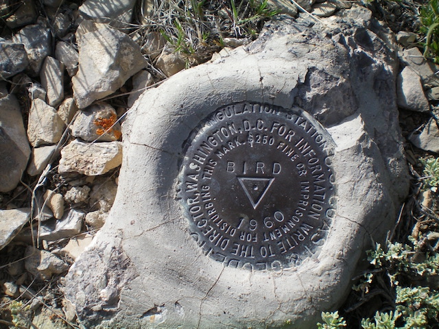
The USGS benchmark atop Bird Benchmark. Livingston Douglas Photo
Additional Resources
Regions: Black Pine Mountains->SOUTHERN IDAHO
Mountain Range: Black Pine Mountains
Longitude: -123.16051 Latitude: 42.20269