Elevation: 6,025 ft
Prominence: 445
This peak is not in the book. Published June 2022
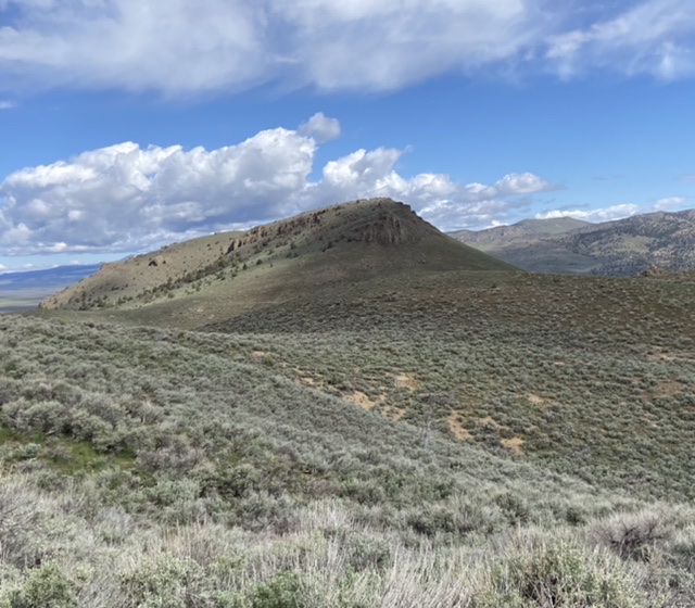
Black Butte is an isolated peak that sits just east of the confluence of White Creek and the North and South Forks of Castle Creek. All three of these water courses have carved deep, impressive canyons. Black Butte drops steeply on all sides. USGS Pixley Basin
Black Butte as viewed from the east
Access
Primary access information for this peak and its surroundings is found at the following link: Castle Creek Area Access
A seldom-used 2-track road runs west from Castle Creek/Pixley Basin Road. Follow this road to a point south of the peak and park.
South Slopes, Class 2
The south slopes of Black Butte can be climbed via numerous lines. Hike toward the base of the butte, pick a line, and climb it to the summit ridge. Follow the summit ridge west to the summit. This climb covers 2.0 miles with 478 feet of elevation gain round trip.
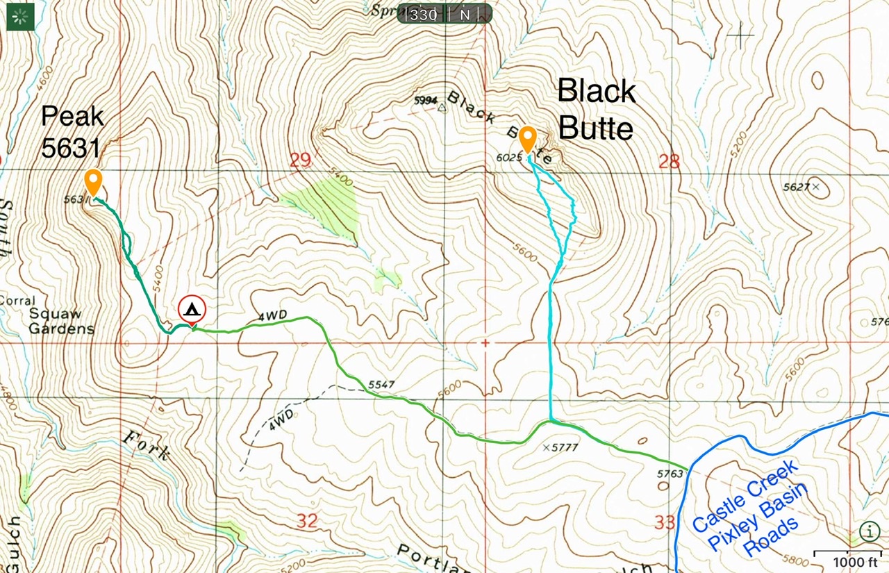
Black Butte and Peak 5631
Additional Resources
Regions: Owyhee Mountains->SOUTHERN IDAHO
Mountain Range: Owyhee Mountains
Year Climbed: 2022
Longitude: -116.47069 Latitude: 42.78679