Elevation: 6,616 ft
Prominence: 156
This peak is not in the book.
Black Mountain is located on the northern end of an impressive north/south trending ridgeline which descends from the main Silver City Range Crest at Slacks Mountain, separating Reynolds Creek on the west from Rabbit Creek on the east. While Black Mountain does not have a great amount of prominence, it is a massive viewpoint. USGS Reynolds
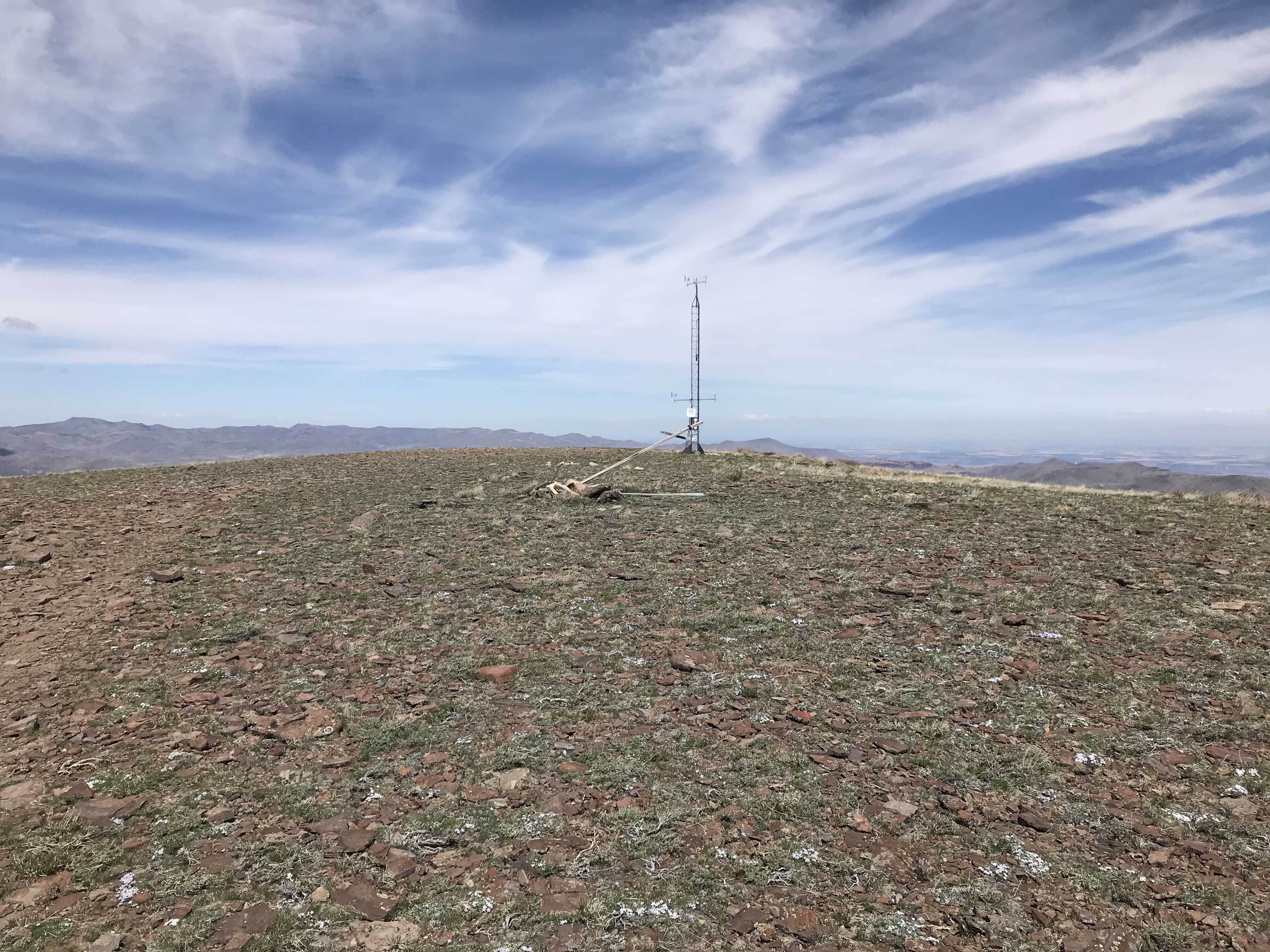
Black Mountain as viewed from the south.
Access
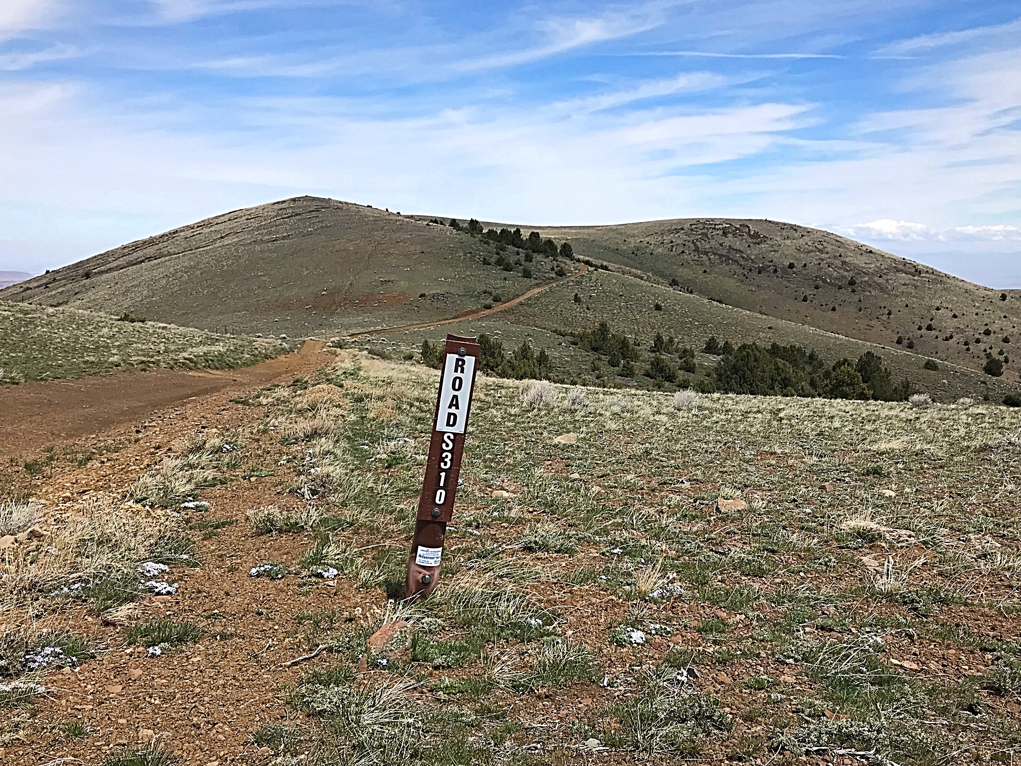
This peak can be accessed from either the Slacks Mountain Road or the Black Mountain Road. Both roads require a 4WD and tough tires as well as dry conditions. The Black Mountain Road leaves the Slacks Mountain Road at Slacks Corner, which is an unsigned intersection roughly 10.0 miles from the road’s start. It is another 3.0 miles to the western slopes of Peak 6820 from the intersection. The first mile is deeply rutted and difficult. Note that the the Black Mountain Road can be accessed from two other locations along the Slacks Mountain Road. I have not driven these routes (which are on the USGS quad) so I cannot comment on them. You can climb the peak directly from the Slacks Mountain Road.
Black Mountain Road, Class 1
This peak is completely open terrain and almost any route you choose will get you to the top. The Black Mountain Road can be followed to just east of the summit from the south where it leaves the Slack Mountain Road at Slacks Corner, or from the south where it leaves the Slack Mountain Road at the point where it crosses Sheep Creek. Your mileage and elevation gain will be dependent upon where you start.
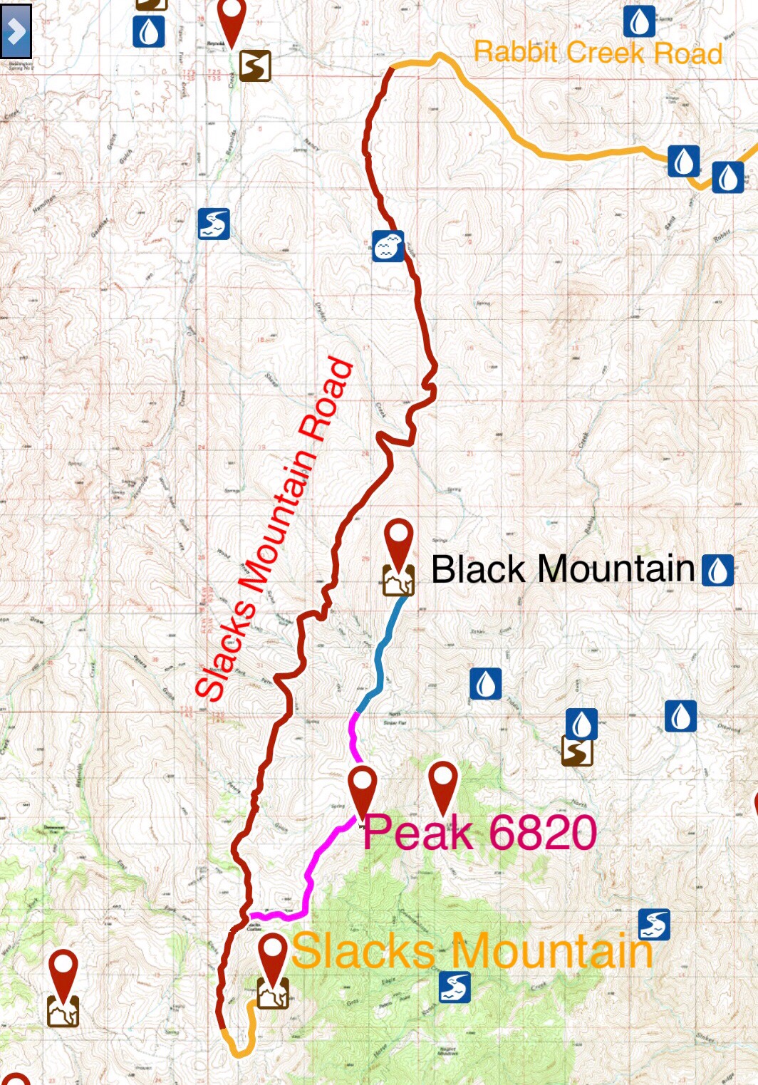
The Black Mountain Road from Slacks Corner to Peak 6820 is shown in pink on this map. It continues on to Black Mountain as a pink and blue line. A 4WD vehicle, excellent all terrain tires, skid plates and off-road driving skills are all needed to safely drive this road.
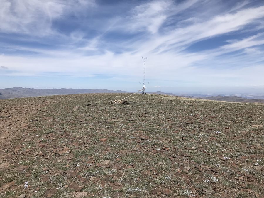
The windswept summit looking north.
Additional Resources
Regions: Owyhee Mountains->Silver City Range->SOUTHERN IDAHO
Mountain Range: Owyhee Mountains
Year Climbed: 2018
Longitude: -116.71289 Latitude: 43.12929