Elevation: 9,048 ft
Prominence: 468
This peak is not in the book. Published November 2020
Bluebird Mountain is a beautiful peak with thick forest on its northern aspects and a very rugged, rocky southeast face. It separates Chandler Canyon to its north from Bear Wallow Canyon to its south. The easiest ascent route is from Chandler Canyon via its northeast face. With an ATV or MC, you can reach a road junction in Chandler Canyon at 7,600 feet and make a short day of it. USGS Copper Mountain
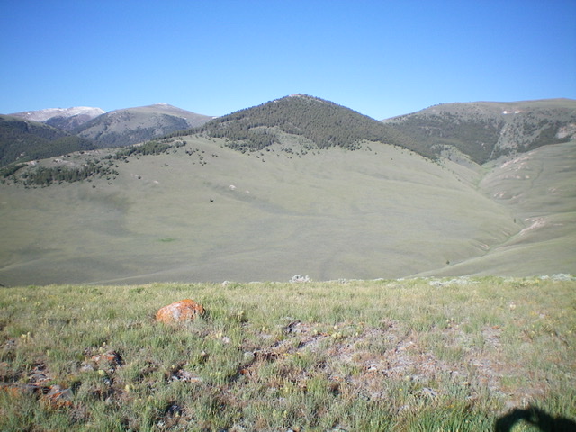
Bluebird Mountain (dead center) as viewed from the northeast. Livingston Douglas Photo
Access
Same as for Horse Ridge. This is the second leg of a two-peak journey.
Northeast Face, Class 2
The Climb
From the connecting saddle (7,493 feet) between Horse Ridge and Bluebird Mountain, continue west and find a 2-track jeep road (FSR-202) that connects Chandler Canyon to Buckhorn Canyon. Follow FSR-202 southwest to where it drops into Chandler Canyon and meets FSR-863 at a signed junction. FSR-863 is an old spur road that continues up Chandler Canyon for a short distance.
Leave FSR-202 at this junction and climb steeply southwest up an open slope of field grass to reach the “forest cap” of Bluebird Mountain at about 8,350 feet. The pine forest bushwhack from here is steep but easy: not much blowdown, no scree/talus, lateral elk trails, and minimal brush. Head straight up the forested slope to reach the summit area very close to the high point. The summit had a modest cairn so I built it up a bit.
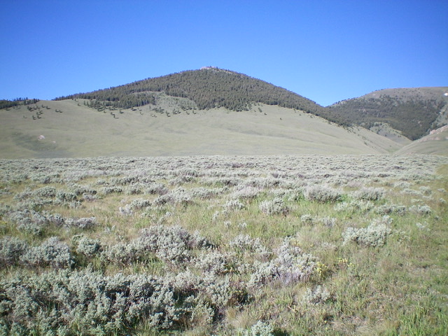
A closer look at the northeast face of Bluebird Mountain. Livingston Douglas Photo
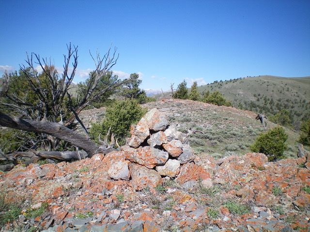
The summit area of Bluebird Mountain, looking west. Livingston Douglas Photo
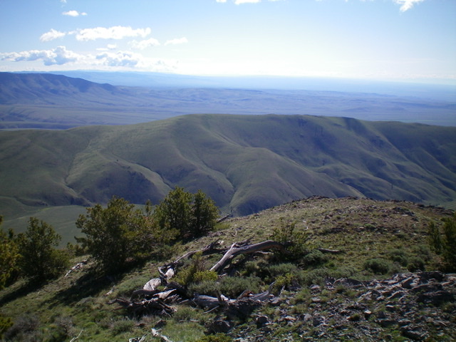
Horse Ridge (mid-ground) as viewed from the summit of Bluebird Mountain to its west. Livingston Douglas Photo
Descent back to Nicholia Canyon Road, Class 2
Rather than re-climbing Horse Ridge to return to Nicholia Canyon Road, try this route. From the summit of Bluebird Mountain, descend north-northeast back to the road junction in Chandler Canyon. Return to the connecting saddle (7,493 feet) via FSR-202 and a grassy old 2-track road. From the saddle, follow a grassy old 2-track jeep road east up 90 vertical feet then contour north then northeast to reach a saddle at 7,580 feet on Horse Ridge, just south of Point 7615.
From this saddle, bushwhack through moderate sagebrush down a shoulder/slope on the left/north side of a prominent gully that leads down to a narrow gully that Black Horse Canyon Road/FSR-179 crosses. Follow FSR-179 down to Nicholia Canyon Road and hike about 1.5 miles east on Nicholia Canyon Road to its junction with Crooked Creek Road and your parked vehicle.
Additional Resources
Regions: Beaverhead Range->EASTERN IDAHO
Mountain Range: Beaverhead Range
Longitude: -112.79759 Latitude: 44.22339