Elevation: 8,860 ft
Prominence: 280
Climbing and access information for this peak is on Page 120 of the book. In 2018, John Platt led a group across the ridge. Read his trip report at this link: Profile Loop 2018. Updated June 2018
Crater Peak is located just east of Profile Gap. It is the first of 7 peaks between Profile Gap and Parks Peak to the west. The really ambitious can follow the connecting ridge to Parks Peak. The next peak along the way is Willson Peak. USGS Profile Gap
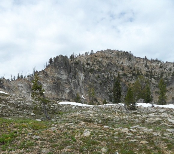
Crater Peak. John Platt Photo
Access
Profile Gap is on Big Creek Road/FS-340 [(B)(3.2) on Page 137]
West Ridge, Class 2
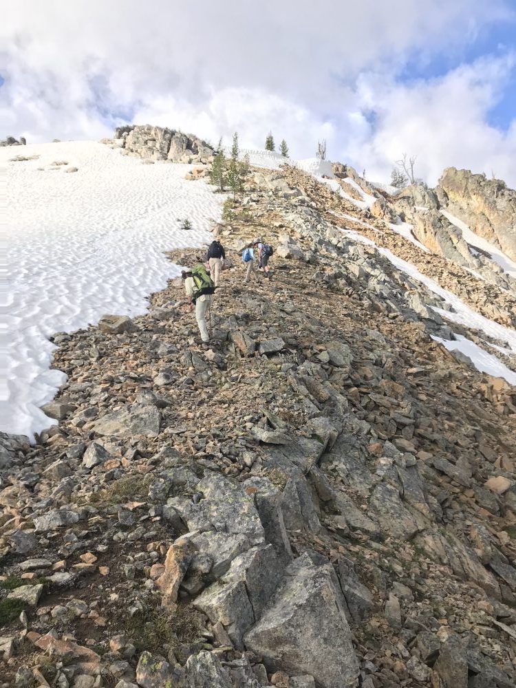
Park at Profile Gap. Walk south back down Big Creek Road to a junction with an old mining road that runs due south. Follow the road past a collapsed cabin. At the 7,800-foot contour, start ascending southwest toward the top of the West Ridge aiming to reach the ridge top at roughly 8,500 feet. Continue up the ridge to the summit. It is a little over a mile with 1,200 feet of elevation gain to the top. See the GPS track below.
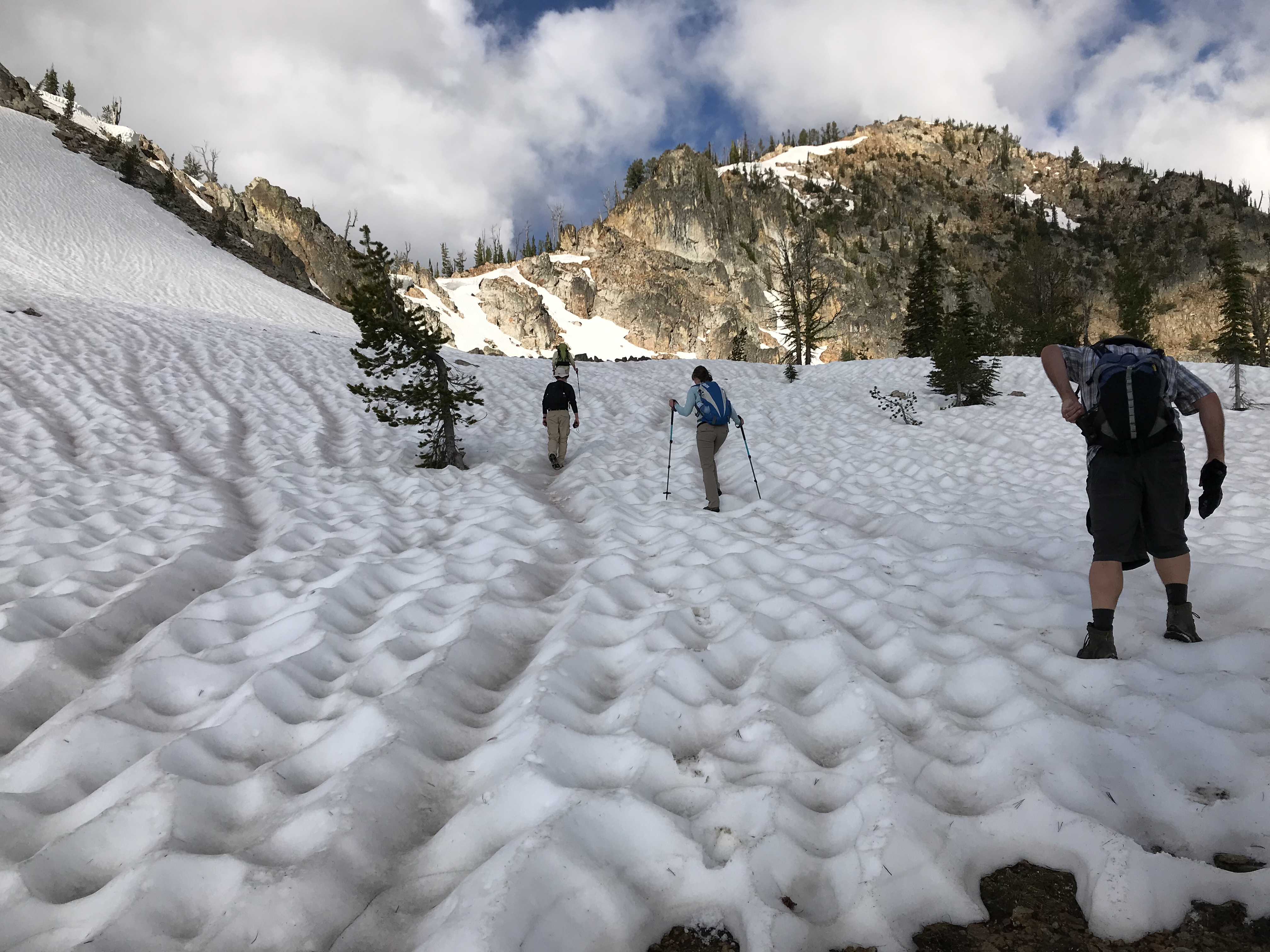
Climbing southwest toward the top of the West Ridge.
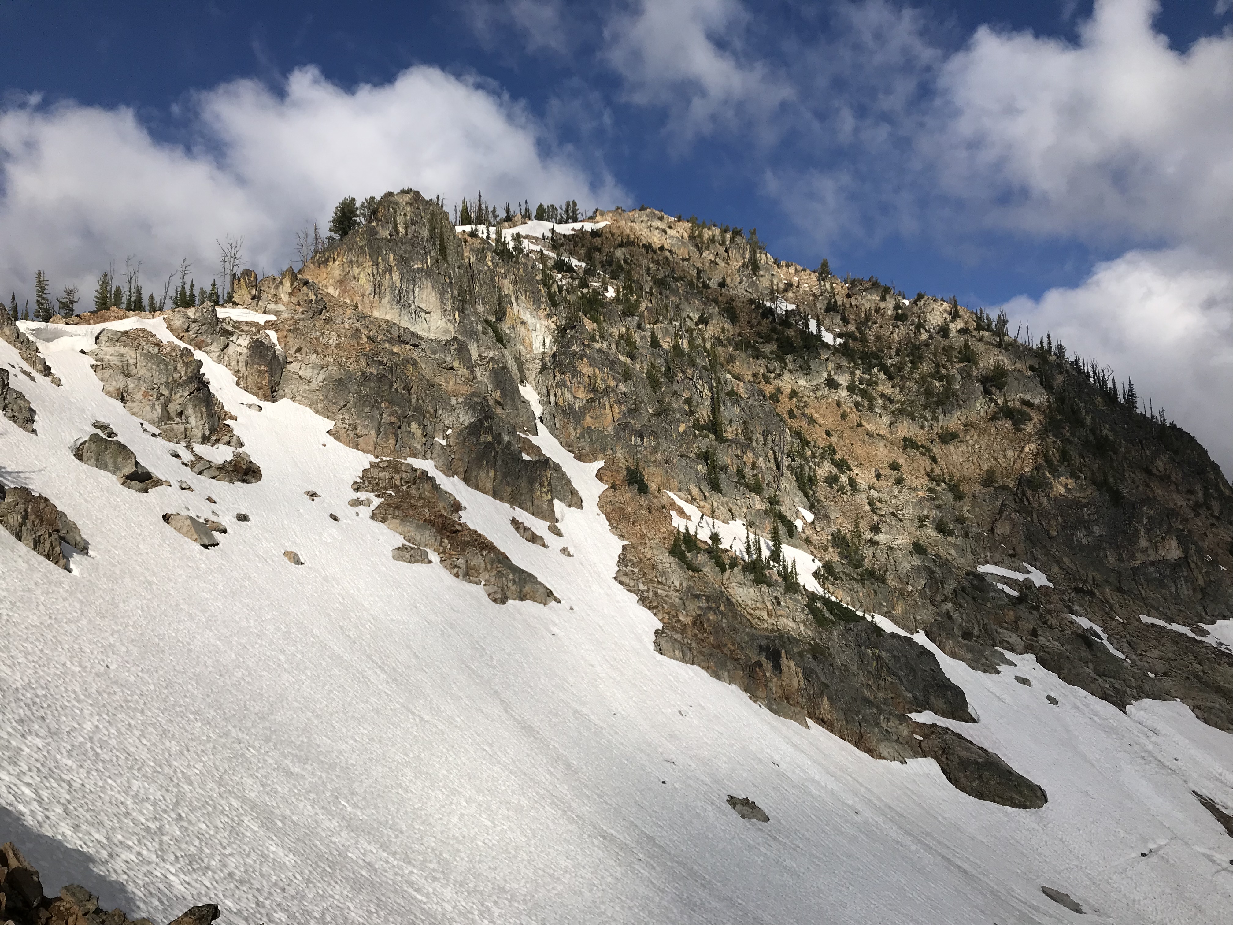
The summit of Crater Peak with the West Ridge on the left.

GPS track from Profile Gap to the summit of Crater Peak.
Additional Resources
Regions: Big Creek to Red Ridge Peaks->Central Salmon River Mountains->Salmon River Mountains->WESTERN IDAHO
Mountain Range: Central Salmon River Mountains
Year Climbed: 2018
Longitude: -115.42969 Latitude: 45.04959