Elevation: 8,748 ft
Prominence: 3,248
Climbing and access information for this peak is on Page 354 of the book. Livingston Douglas provided a new, more detailed description of the West Ridge Route and four new photos. Updated January 2023
This impressive summit has over 3,000 feet of prominence, is the highest point in the Deep Creek Mountains, and also the highest point in Power County. It is the 23rd-rated Idaho peak for prominence. Because of its triple status, the peak sees frequent ascents by prominence seekers and county high pointers. I suspect that most ascents climb the peak’s west ridge from Big Canyon/Knox Canyon Pass. USGS Deep Creek Peak
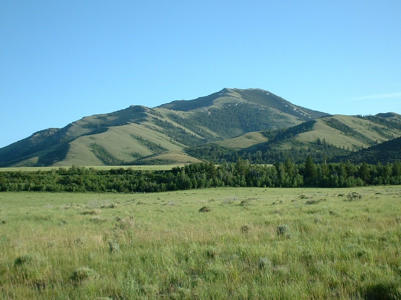
Deep Creek Peak. Dan Robbins Photo
Access
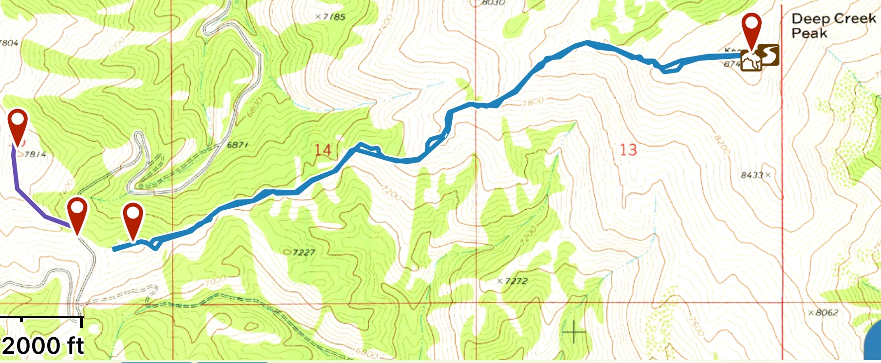
Google Maps will take you to this starting point by plugging in Deep Creek Peak. Contributor Ken Jones provided the following directions using ID-37:
Leave ID-37 at virtual milepost 48.5 (about 20 miles south of I-86/US-30) and find the signed Big Canyon Road, which has both a county road sign and a BLM sign. Turn east on this wide, well-graded road. Stay on the main road. As it enters the canyon, it becomes steeper and rougher, but remains easily passable in 2WD with normal clearance all the way to the trailhead. At 6.4 miles, you’ll pass a junction off to the right and at 7.3 miles (at a switchback), you’ll pass on another right fork. When you reach 9 miles, you’ll top out at a saddle where a right turn takes you to an unimproved camp spot. Just beyond is the junction with the signed Bull Canyon Road heading down to the right. Continue up the main road. At 9.3 miles, reach the road’s high point at a shallow saddle at about 7,350 feet and park.
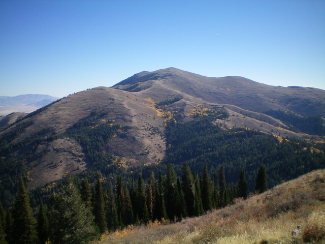
Deep Creek Peak as viewed from the west. Livingston Douglas Photo
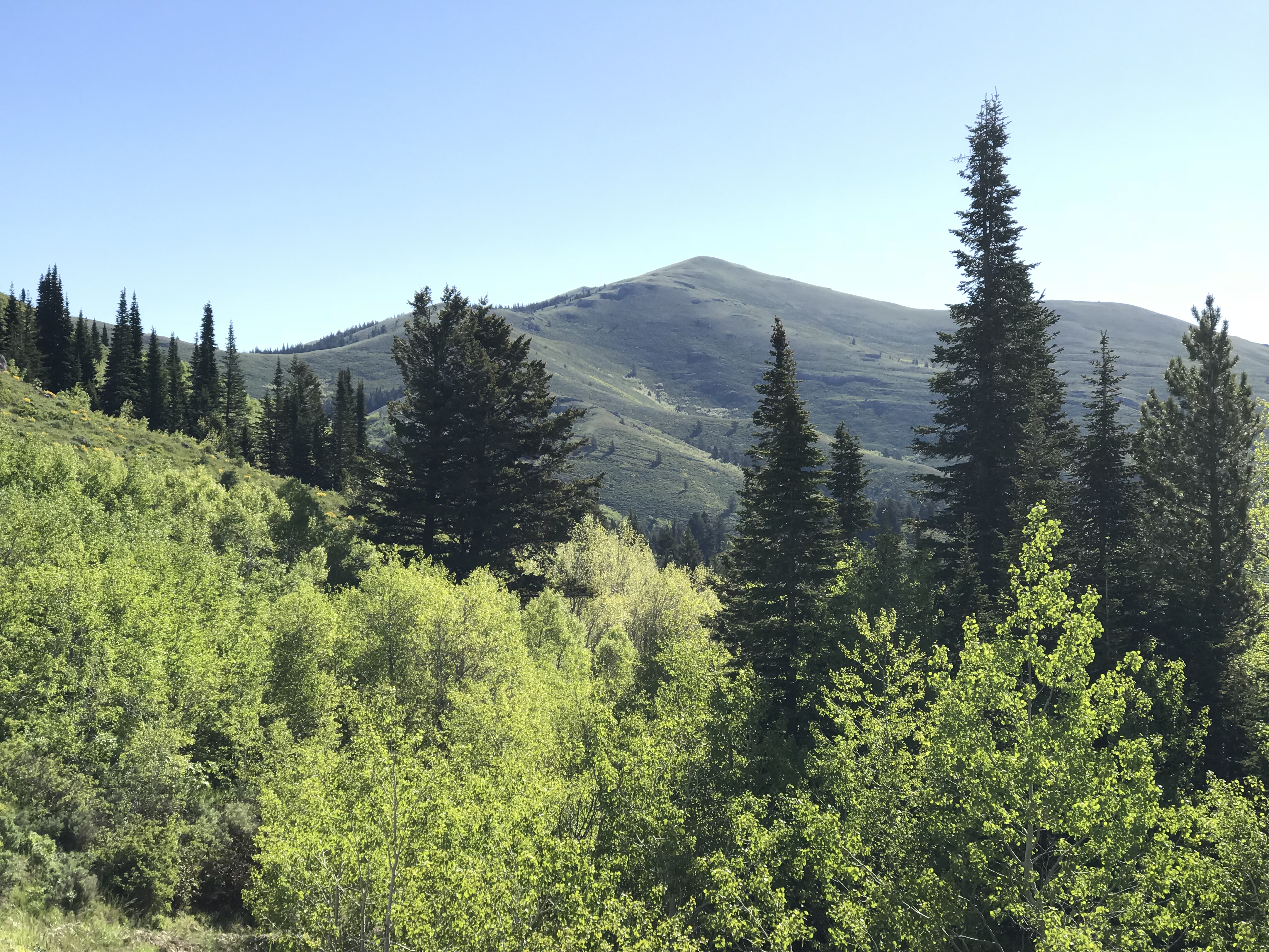
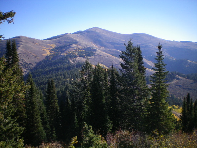
Deep Creek Peak as viewed from the Big Canyon/Knox Canyon Pass.
West Ridge, Class 2 by Livingston Douglas
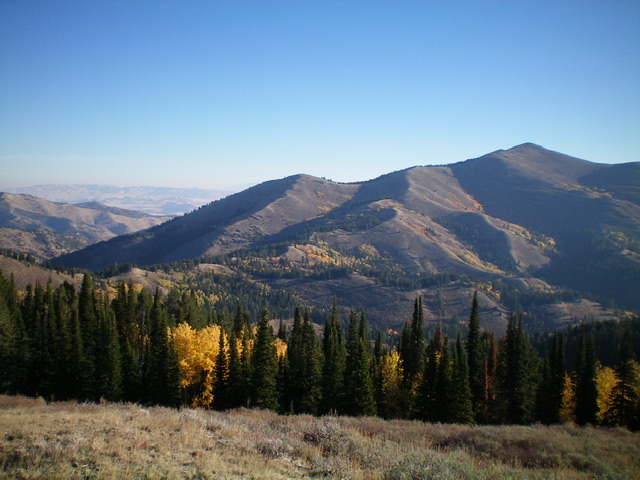
The west ridge of Deep Creek Peak rises from lower left diagonally up and right to the summit (the pyramidal hump right of center). Livingston Douglas Photo
The Climb
From the saddle on Knox Canyon Road, cross to the east side of the road and follow a 2-track ATV trail (not shown on maps) southeast up over a small knoll then up to the top of the first hump (and the most major hump) on the tedious, up-and-down, crest the west ridge. Follow a narrow use trail (sometimes good, sometimes weak) down through thick brush then forest. Go up and down several more humps (a mix of forest and thick, open scrub) to finally reach open terrain after almost a half hour of hard work. This “approach” to the base of the open slopes of Deep Creek Peak is unexpected and tedious. The final saddle at the base of the open terrain of the mountain is at 7,205 feet, about 120 net feet below the road saddle at which you parked your vehicle. All of this work for a net loss in elevation.
Deep Creek Peak as viewed from atop the first hump on the west ridge. Lots of forest to go through to finally reach open ground. Livingston Douglas Photo
But it’s worse than that. Here are the individual ups and downs to reach this final low saddle: up 115 feet, down 200 feet, up 45 feet, down 100 feet, up 35 feet, down 15 feet, up 20 feet, down 20 feet, up 75 feet, down 35 feet, up 25 feet, then down 65 feet. In addition, there’s another 20-foot drop higher up the open slopes to reach the summit. All in all, the extra ups and downs roundtrip total a whopping 925 feet. Though Deep Creek Peak is a magnificent, big mountain, this extra work detracts from the enjoyment of this climb.
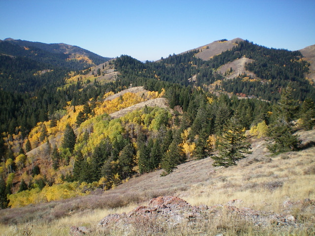
The forested humps of the tedious initial section of the west ridge as viewed from the east end of it. Livingston Douglas Photo
Once at the final saddle (7,205 feet) in open terrain, follow the open west ridge on a climber’s trail (on and off) as it weaves its way east then northeast to reach a junction with the more prominent southwest ridge of Deep Creek Peak. You must climb over two minor, rocky cliff bands on the traverse rightward to reach the southwest ridge. The junction with the southwest ridge is critical, particularly on the descent. It is easy to miss the right turn back onto the [not-so-obvious] west ridge. If you continue down the southwest ridge on the descent, you will end up WAY OFF COURSE. You must look for the narrow, weak climber’s trail heading right-ish at this ridge juncture. You cannot see the road or the saddle/pass at which you are parked from here. It is hidden by surrounding hills/humps. So be VERY CAREFUL on the descent.
When ascending from the final low saddle (7,205 feet), it is not obvious where the summit is. This is a BIG mountain with multiple possible summit humps. The summit appears to be to the left, but it is NOT. It is to the right and is hidden by a false summit. You cannot see the summit hump of Deep Creek Peak until you reach this high, false summit. The summit hump is well hidden. The summit has a large cairn and two USGS benchmarks (one named “Knox”) next to it.
My GPS track. Unlike Ken Jones, I drove partway up the 4WD road before starting the climb.
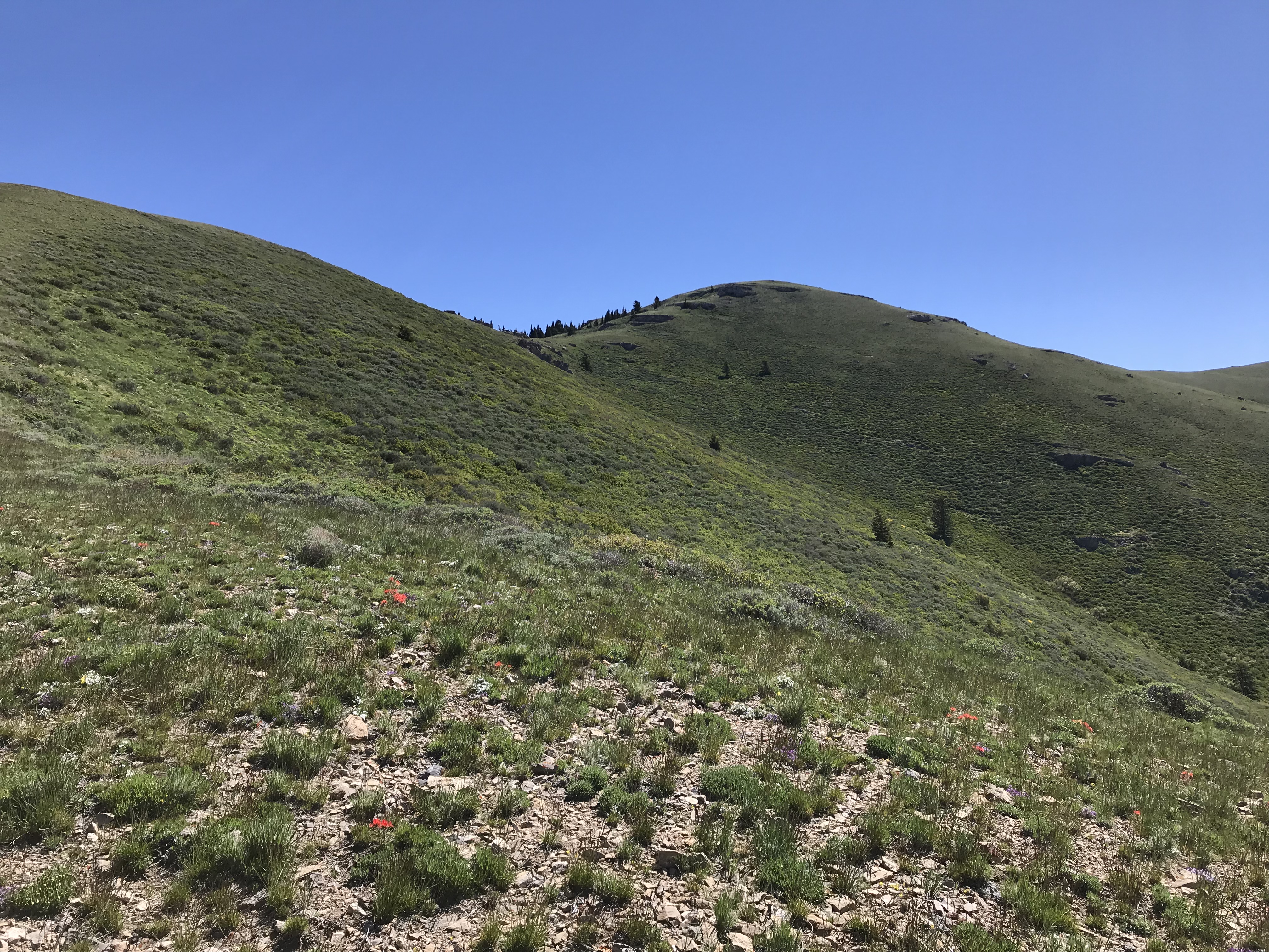
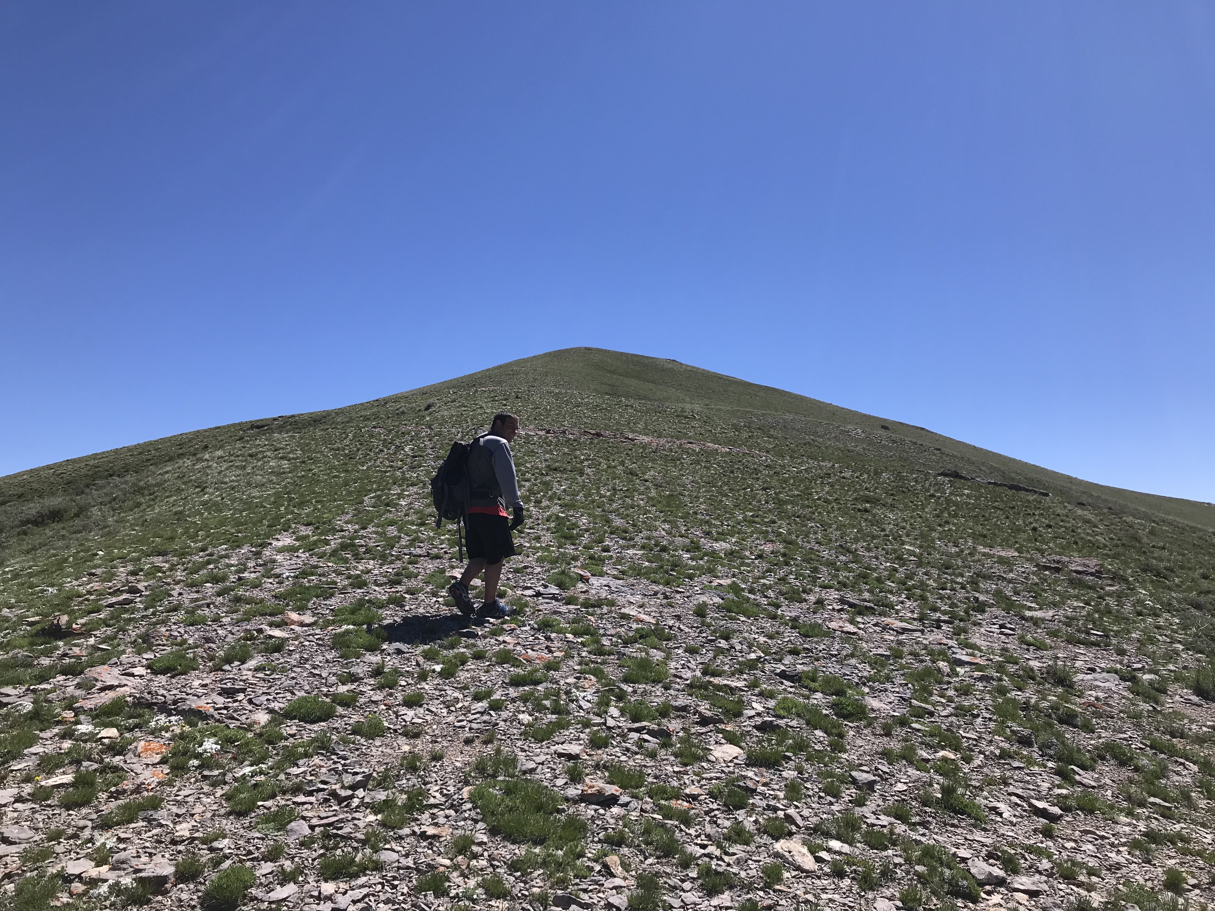
After the first mile, the ridge is open with good footing.
Nearing the summit
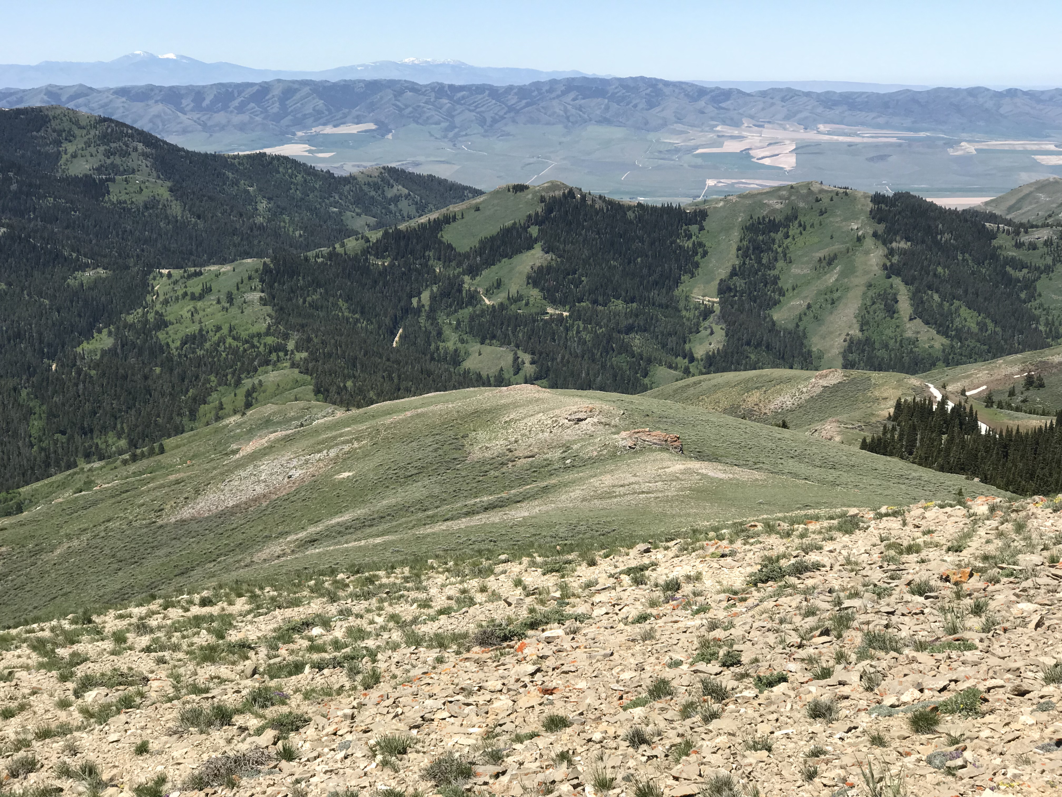
Looking down the west ridge toward the Big Canyon/Knox Canyon Pass.
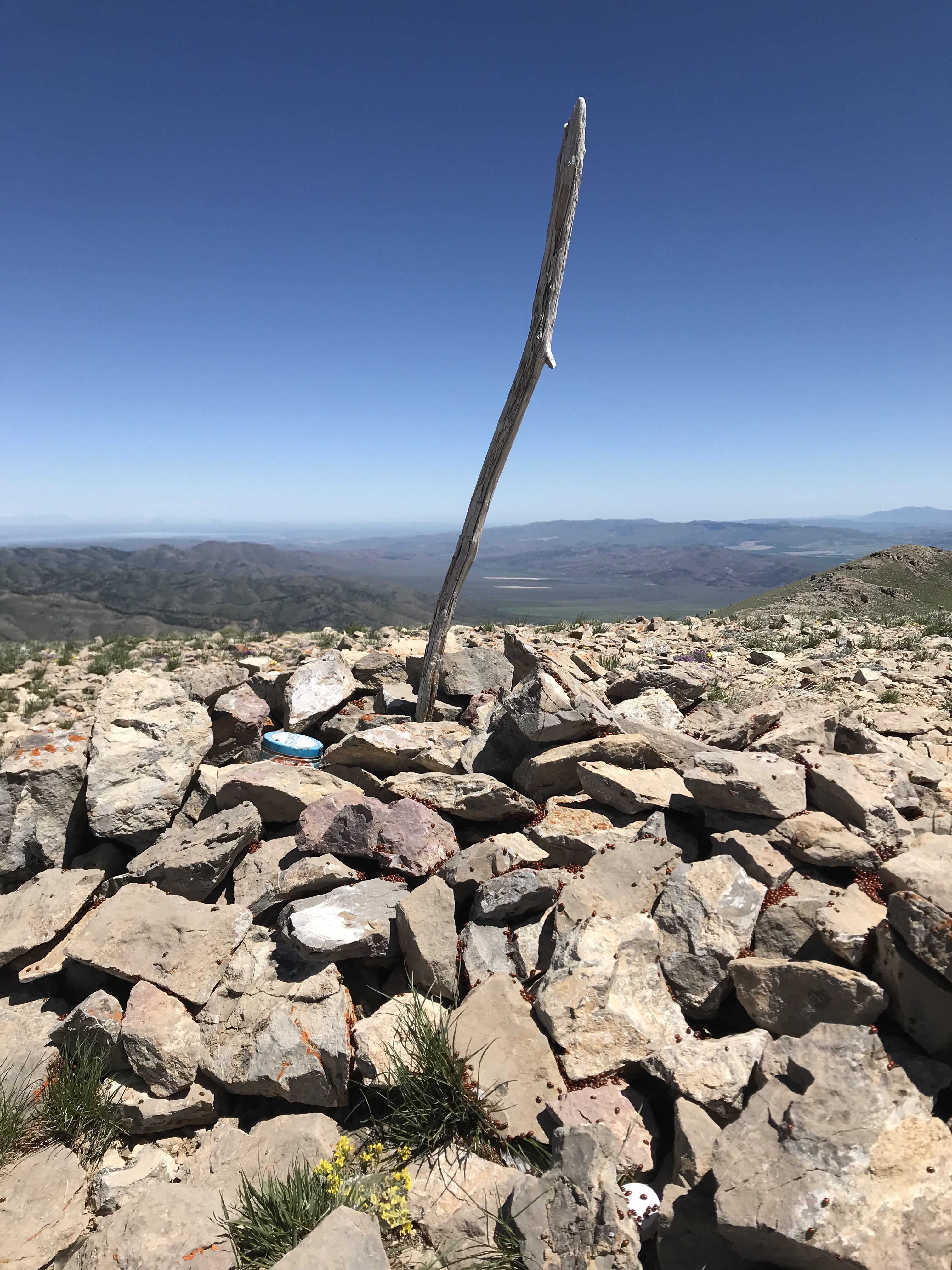
The summit cairn had three registers
Additional Resources
Regions: Deep Creek Mountains->SOUTHERN IDAHO
Mountain Range: Bannock Range
Year Climbed: 2018
First Ascent Information:
- First Ascent Year: 1877
- Season: Summer
- Route: Unknown
- Party: Wheeler Survey including Fred Clark
Longitude: -112.6561 Latitude: 42.6561
Pingback: Idaho County High Points by Andy Martin - IDAHO: A Climbing Guide