
The Fish Creek Range is a subrange of the Portneuf Range. It is located east of Lava Hot Springs, Idaho. On the north side of US-30, it is bounded on the west by the Portneuf River. On the south side of US-30, it is bounded on the west by Fish Creek. On its east side, it is bounded by the Gem Valley. The Fish Creek Range is a mix of thick juniper/pine forest (with some areas of mountain mahogany), open sagebrush, and rocky outcrops and underfooting. Petticoat Peak is the range’s high point at 8,033 feet.
This area is a mix of private land and BLM land, so be careful. Many of the 18 ranked summits in the Fish Creek Range are either on private land or are blocked by areas of private land. Only 8 of the ranked summits are accessible on BLM land. Much of the private land is “Association Land” and is now mostly posted. The road quality is mixed. There are some well-graded roads (Fish Creek Road, Pebble Highway, US-30, Lund-Bancroft Highway, Hegstrom Road, Beaver Dam Road) but others are poor in quality (Baldy Mountain Road which goes through Fish Creek Basin, Lund Road south of Buckskin Mountain, various 2-track side roads).
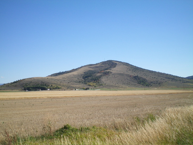
Buckskin Mountain as viewed from the northwest. Livingston Douglas Photo
All of that being said, the publicly-accessible peaks in the Fish Creek Range are typically free of snow both early and late in the season. This area gets quite hot during mid-Summer and should probably be avoided. The range offers many fun scrambling opportunities. The services available in nearby Lava Hot Springs and free camping at the South Portneuf BLM Campground (on the Pebble Highway just over a mile north of US-30) enhance the practical aspects of climbing in the Fish Creek Range. I highly recommend it. Rick Baugher has climbed all 18 of the ranked summits in this area.
The Range’s 18 Ranked Summits (North-to-South)
Thirtyfive Mile Benchmark (5,763 feet), Peak 6623, Peak 7433, Peak 7774, Petticoat Peak (8,032 feet), Buckskin Mountain (6,444 feet), Peak 6500, Peak 6540, Peak 6575, Tuner Benchmark (6,746 feet), Peak 7572, Peak 7346, Peak 7029, Peak 7438, Peak 7473, Peak 7496, Peak 6536, and Peak 6450.
USGS Maps
Chesterfield, Bancroft, Talmage, Sedgwick Peak, Grace Power Plant
Petticoat Peak as viewed from Peak 6540 to its south. Livingston Douglas Photo
Regions: Fish Creek Range->Portneuf Range->SOUTHERN IDAHO
Mountain Range: Portneuf Range