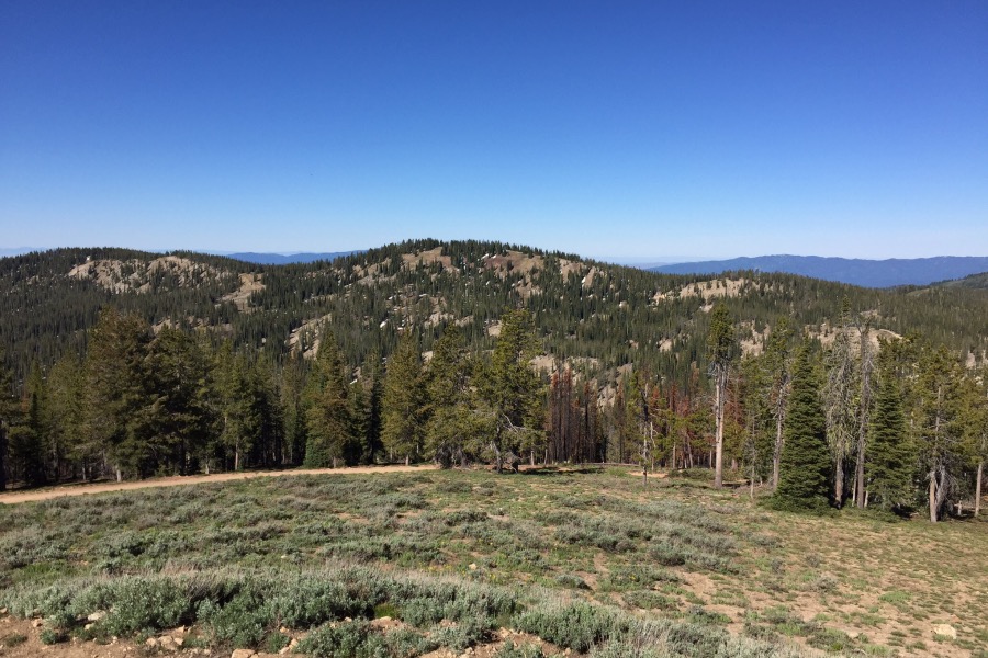
Elevation: 8,111 ft
Prominence: 441
Climbing and access information for this peak is on Page 146 of the book.
This peak is an easy ascent from the dirt roads that cross between it and Pilot Peak. The peak sees a lot use in the Winter by snowmobiles. You can ride your mountain bike almost to the top in the summer. USGS Sunset Mountain
Access and Additional Route
North Ridge, Class 2
This route is not in the book. Access the peak from ID-21 at Mores Creek Summit by turning north onto FS-380. Follow this rough road to the saddle northwest of the summit of Pilot Peak. There is a 4-way junction at this point. A right turn takes you to Pilot Peak. A left turn takes you on a difficult 4WD road that follows the ridge top toward Freeman Peak. Continue north on FS-380, dropping off the saddle to the first major intersection. Turn left and follow this road southwest until the road reaches a junction on the ridge crest east of Freeman Peak.
The left fork goes around the South Side of the peak to a saddle south of the summit. The right fork leads around the North Side of the peak. Follow the North Side fork. Stay on the most-used route. On the North Side, you encounter FST-690 heading off toward Peak 7905. Stay on the main road and continue around Freeman Peak. Keep left at the next junction and follow the road to a saddle at the base of the peak. A high-clearance vehicle is recommended.
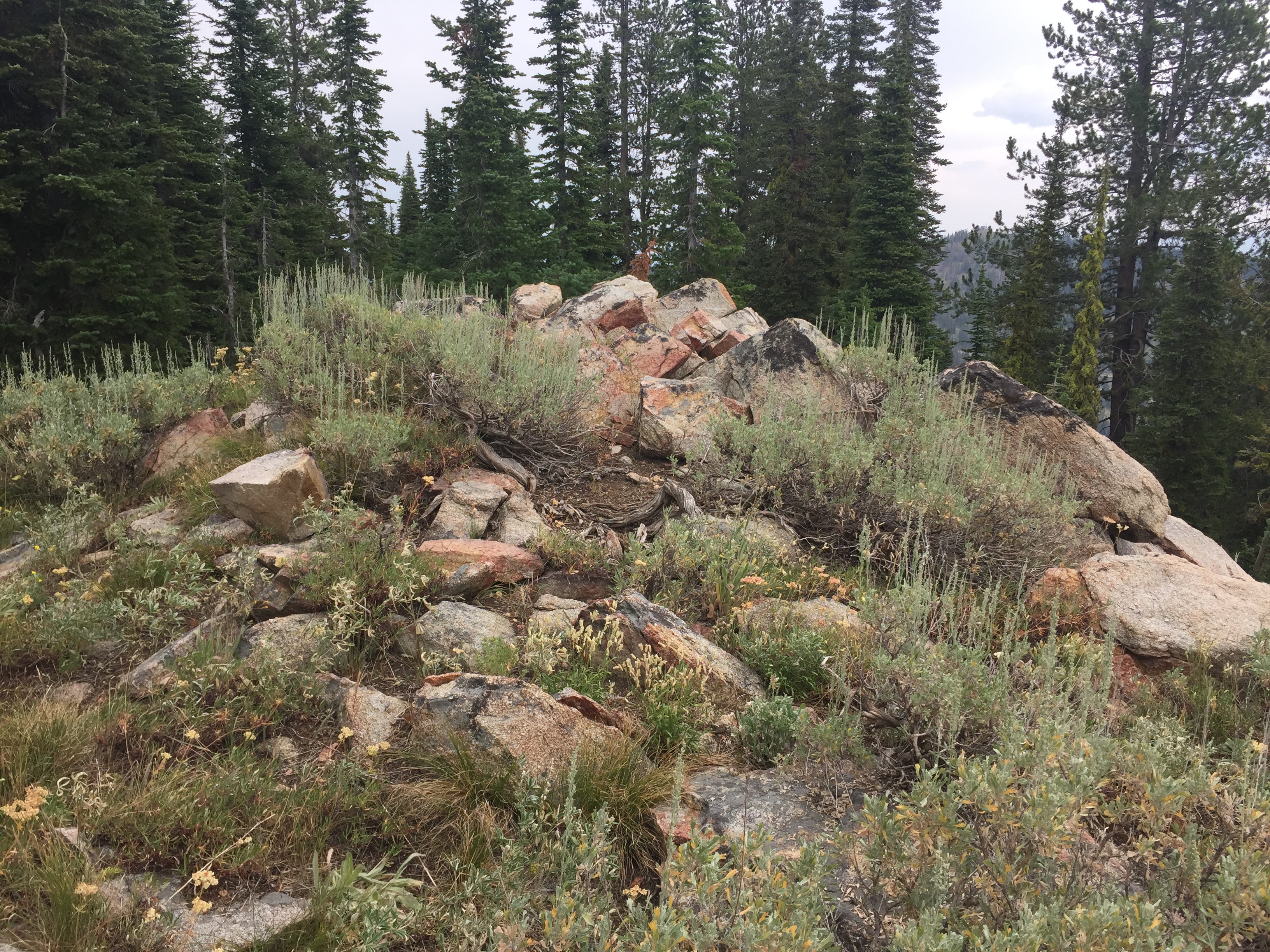
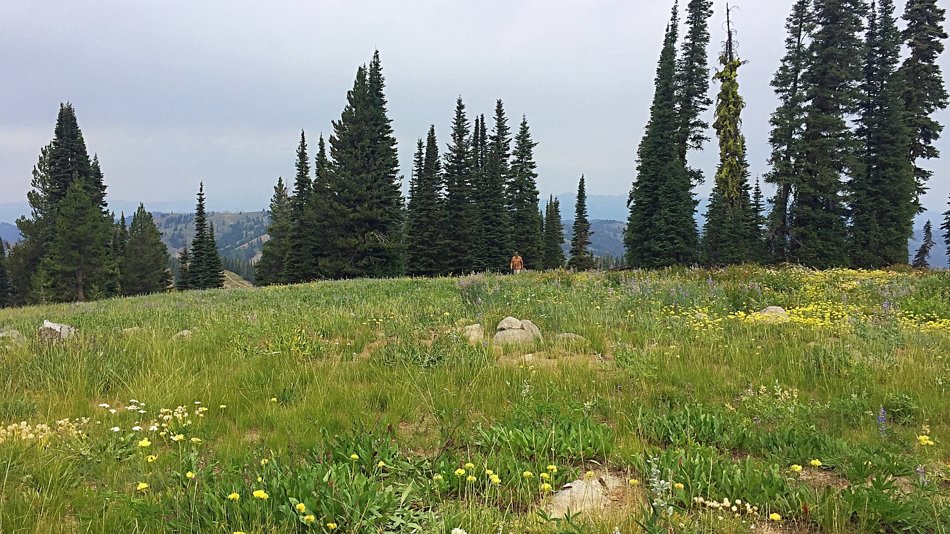
Park in this saddle and follow a very faint ATV trail uphill. This trail eventually disappears in the flower-covered ridge above. Continue up the ridge through meadows and around groves of trees to the summit. This route is 0.6 miles one-way with 260 feet of elevation gain. See the access map below.
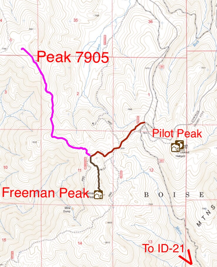
Freeman Peak access. Note that the Forest Service and USGS topos do not accurately show all of the roads in this area.
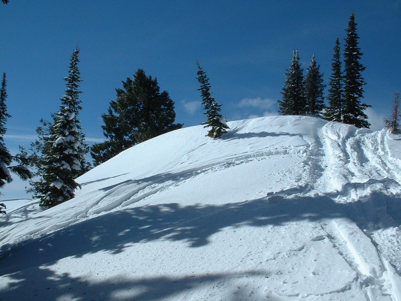
The summit of Freeman Peak is a popular destination for snowmobile enthusiasts. Dan Robbins Photo
Additional Resources
Regions: Boise Mountains->WESTERN IDAHO
Mountain Range: Boise Mountains
Year Climbed: 2007, 2017
Longitude: -115.70769 Latitude: 43.95129
