Elevation: 7,820 ft
Prominence: 360
This peak is not in the book. Published May 2019
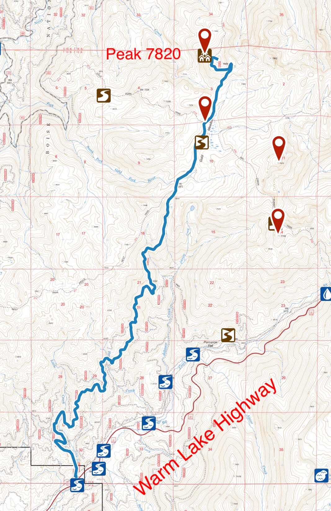
Gold Fork Lookout is located 11.0 miles northeast of Cascade, Idaho. It is WNW of Warm Lake and W of Gold Fork Rock. A lookout cabin was built on the summit in 1933 after the lookout on Gold Fork Rock was abandoned. The views from the lookout to the south, west and especially the north are expansive. The view to the east is blocked by the peak’s high point. USGS Gold Fork Rock.
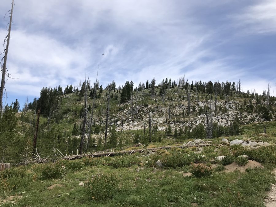
The summit dome of Gold Fork Lookout is studded with granite outcrops.
Access
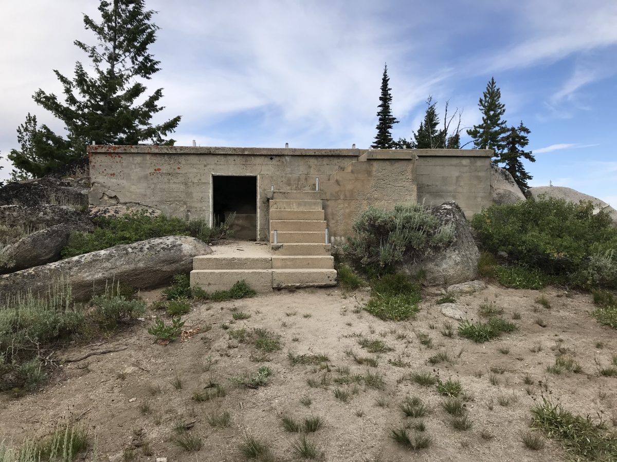
FS-411 and FS-411A lead to the fire lookout site. The road is accessed from Warm Lake Highway [(C)(1) on Page 138]. From ID-55, follow Warm Lake Highway east for roughly 11.0 miles to the signed junction for the Gold Fork Lookout. Turn left onto FS-411 and follow it 9.6 miles to its end. The farther you go, the more the road deteriorates. The road turns hard left just off the highway and then right. There are “No Trespassing” signs but they do not apply to the road. Once you start uphill, there are no confusing junctions. A 4WD vehicle is a necessity. Expect brush to scrape your sides and be prepared for downed trees. Despite these issues, it appears that the road see moderate use.
It is a rough 12.9 miles with 2,700 feet of elevation gain from the highway to the summit.
West Slopes, Class 3
From the fire lookout site, it is a short, easy hike to the peak’s high point with only downed trees to hinder progress. The actual high point is a large boulder at the South End of the broad summit area. It is an easy Class 3 climb on its East Side.
The remains of the lookout.
Looking east from the lookout site toward the summit.
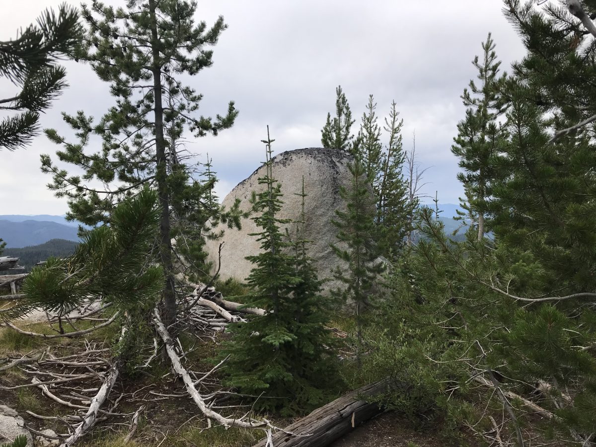
This boulder is the peak’s high point. It is easily ascended on its East Side.
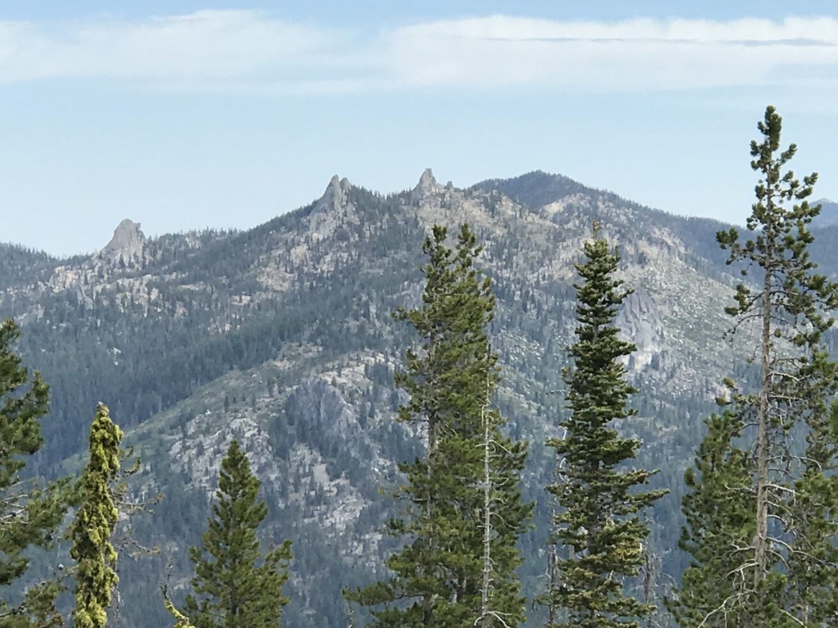
Looking north to Needles Peak.
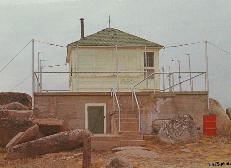
Gold Fork Lookout. The building was removed in 1988. USFS Photo
Additional Resources
Mountain Range: Western Salmon River Mountains
Year Climbed: 2019
Longitude: -115.83369 Latitude: 44.67119