Elevation: 8,126 ft
Prominence: 306
This peak is not in the book.
Hard Peak is not to be confused with Hard Butte which is several miles to the north. This summit can be climbed via the Grass Mountain Trail which is accessed via FS-257, the Goose Lake/Hazard Lake Road. Follow this road north from ID-55 for 18.7 miles. There is a large parking lot on the East Side of the road. The trail starts on the West Side. I recommend climbing this peak in combination with an ascent of its twin, Peak 8124/Serene Peak. The summit offers great views of the nearby mountains as well as the Seven Devils. USGS Hazard Lake
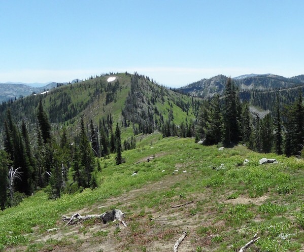
Hard Peak as viewed from Serene Peak. John Platt Photo
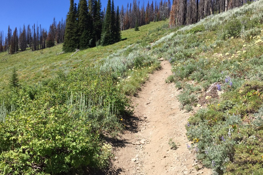
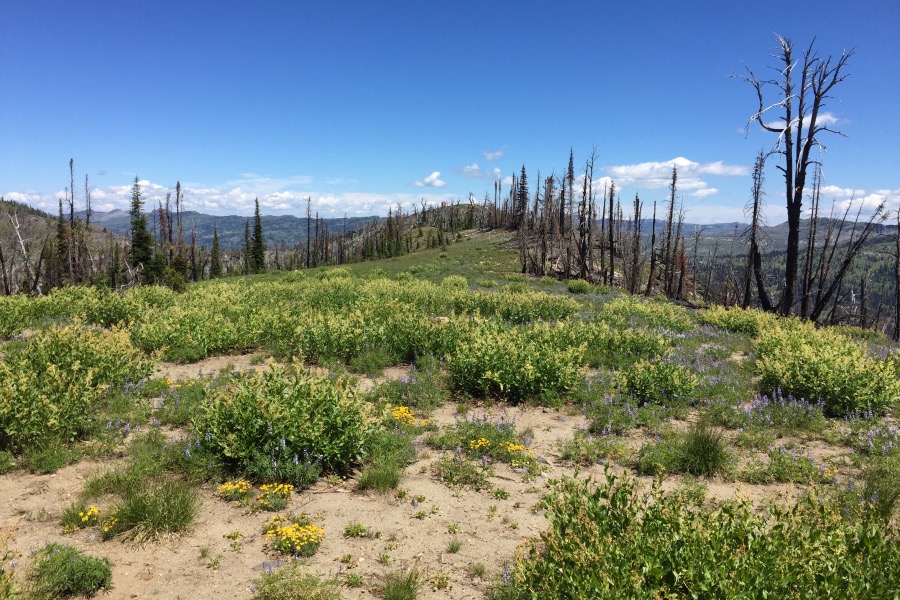
A quarter of a mile up the trail is a junction. Turn left. After gaining roughly 200 vertical feet, the trail crosses the peak’s West Ridge. You can leave the trail at this point and follow the ridge to the summit. The ridge is interspersed with meadows, forest and burned trees.
The trail traversing the base of the East Ridge gets a lot of use as it eventually leads to Grass Mountain Lakes.
A second option (which I used) is to follow the trail to the Grass Mountains Divide and then follow the ridge from the pass north to Point 8048 and then northeast to the summit. This route is 4.0 miles long and gains roughly 1,400 vertical feet.
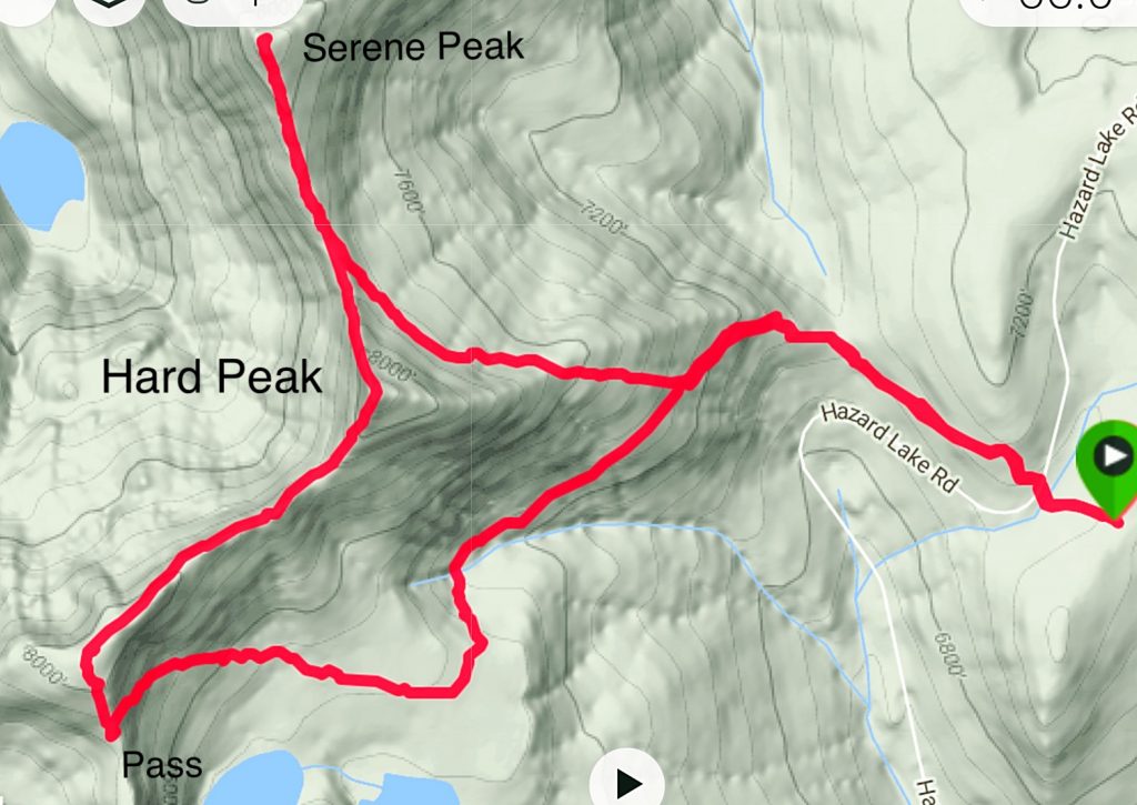
My GPS track for Hard Peak and Serene Peak.
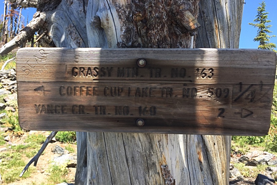
The Grass Mountains Crest is reached via a good trail. This sign was found at the pass in 2016. Point 8048 is uphill behind the sign.
The view from Point 8048 northeast to the summit of Hard Peak.
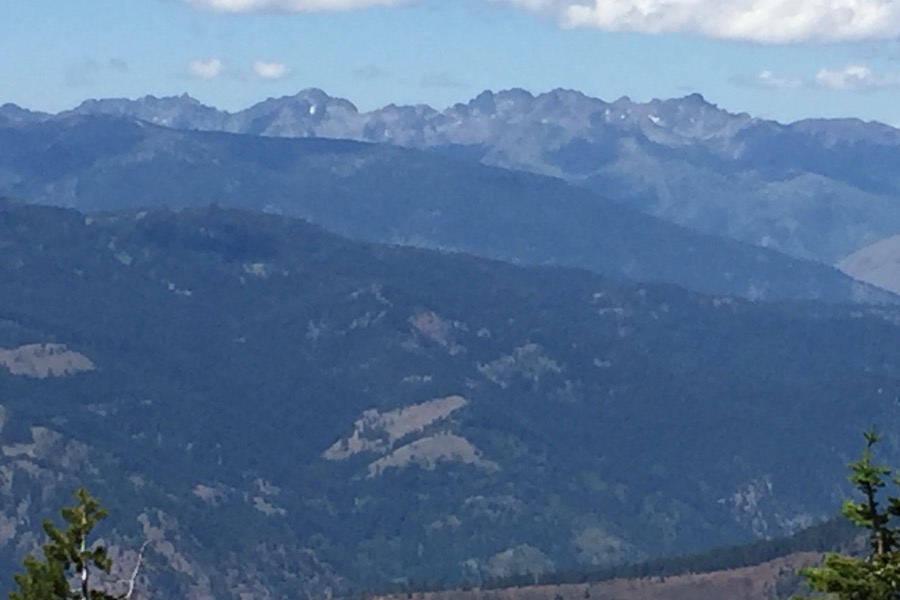
The view of the Seven Devils from the summit of Hard Peak.
Use the link below to John Platt’s trip report for additional details.
Additional Resources
Mountain Range: Western Salmon River Mountains
Year Climbed: 2016
Longitude: -116.19489 Latitude: 45.17759