Elevation: 7,402 ft
Prominence: 520
Climbing and access information for this peak is on Page 103 of the book.
Hitt Peak is the second-highest summit in the Hitt Mountains. It is located roughly 2.5 miles south of Sturgill Peak, the range’s high point. The peak is most easily reached from the broad saddle between it and Sturgill Peak. USGS Sturgill Peak
This saddle can be reached from several directions, but I recommend using Sturgill Peak Road. This road is accessible from US-95 10.0 miles north of Weiser. The road is signed at the highway as Mann Creek Road. Follow the road past a reservoir and into the forest, where you will pass campgrounds and a sign pointing you toward the lookout. The saddle is 16.0 miles from the highway. Google Maps works well getting you to this destination if you ask for directions to Sturgill Peak.
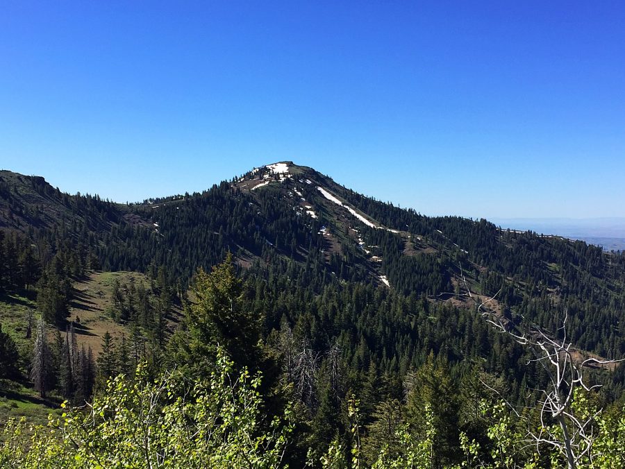
Hitt Peak as viewed from the north.
Park on the saddle. You now must follow the ridge south. This can be accomplished by either crossing through the fence and following the road as it descends down from the saddle or by using a combination of game trails and the ridge road. If you decide to use the road, the entire hiking distance will be longer. The road off the saddle reaches a junction with the ridge road in 0.5 miles and turns back south to parallel the ridge leading to Hitt Mountain.
I recommend following the fence line south using a game trail which will lead you across the west side of the ridge to the first saddle south along the ridge. Rejoin the road at this point and follow it to the second saddle. From this saddle, you can continue on the road or follow the fence line. Alternatively, you can follow a good game trail across the west side of the ridge to the third saddle. This last option involves the least amount of ups and downs. The ridge road is likely to be clogged in places with snow into late June but the ridge top may be melted out as early as Memorial Day.
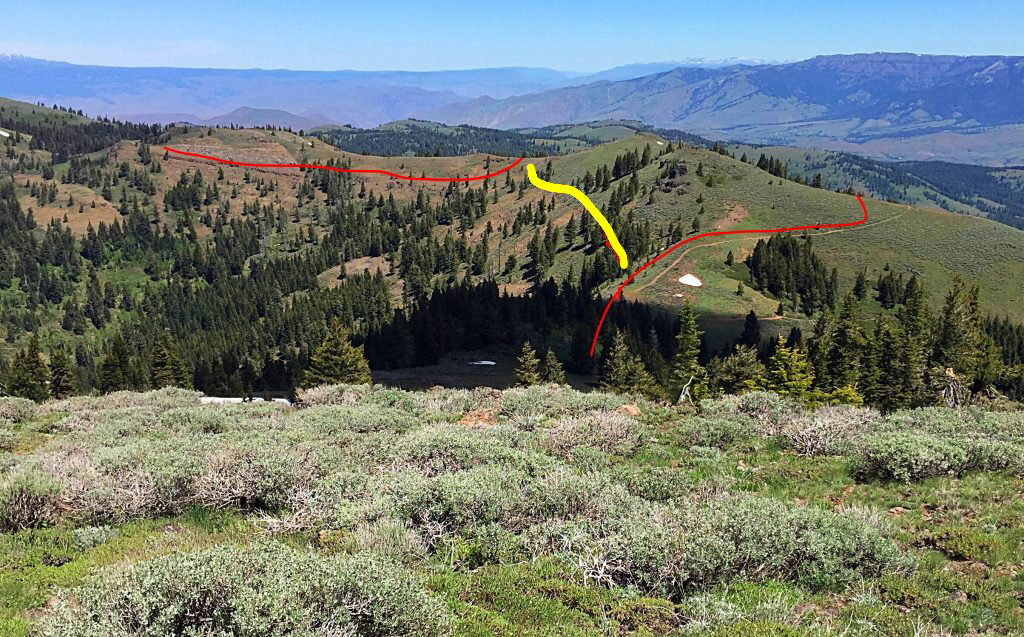
This photo is from the summit of Hitt Peak. It shows the ridge running north toward Sturgill Peak. The road route, shown in red, traverses the east side of the ridge. I followed game trails on the west side of the ridge, shown in yellow. This route avoided climbing over the intermediate high point and is shorter than the road route.
The game trails I followed were in good shape. You will pass through three saddles to reach the peak’s North Ridge. The route is Class 2 up this ridge. The South Ridge is also Class 2.
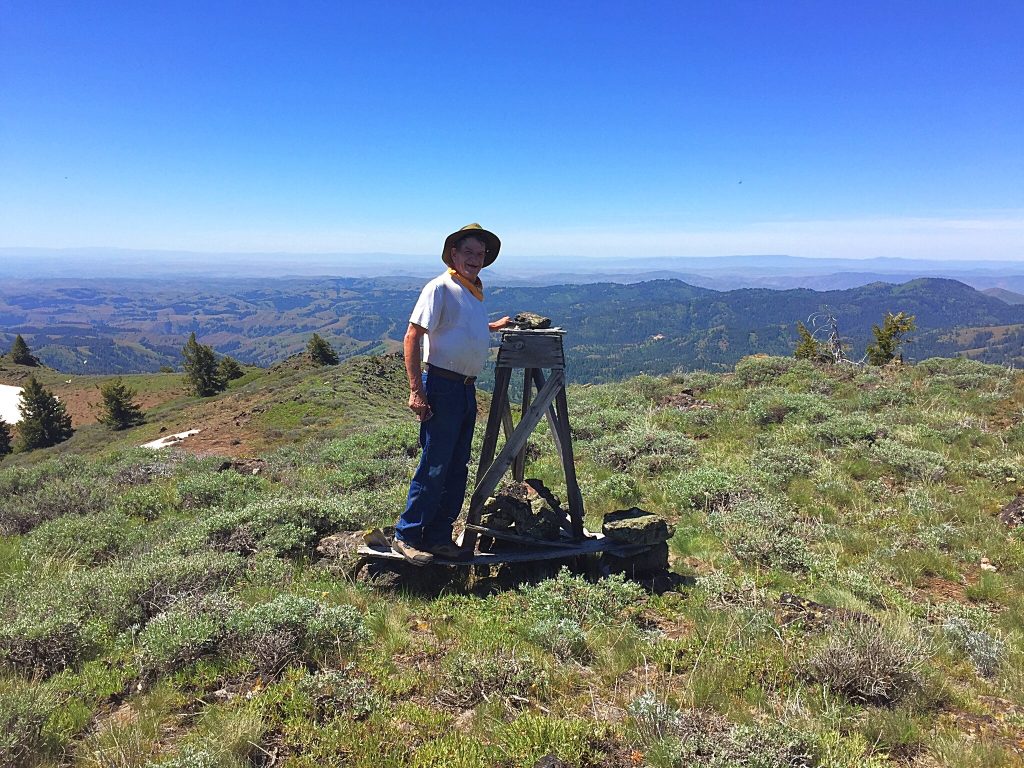
Jon Fredland on the summit. John left a register in the summit cairn.
Additional Resources
Regions: Cuddy and Hitt Mountains->WESTERN IDAHO
Mountain Range: Cuddy and Hitt Mountains
Year Climbed: 2016
Longitude: -116.92569 Latitude: 44.59409